
S580 for GIS
From GIS to Topography
S580 is a versatile and flexible instrument, capable to offer high accuracies for the demanding users, switching from GIS to topographic Survey.

Stonex
Paderno Dugnano (MI), IT
Description
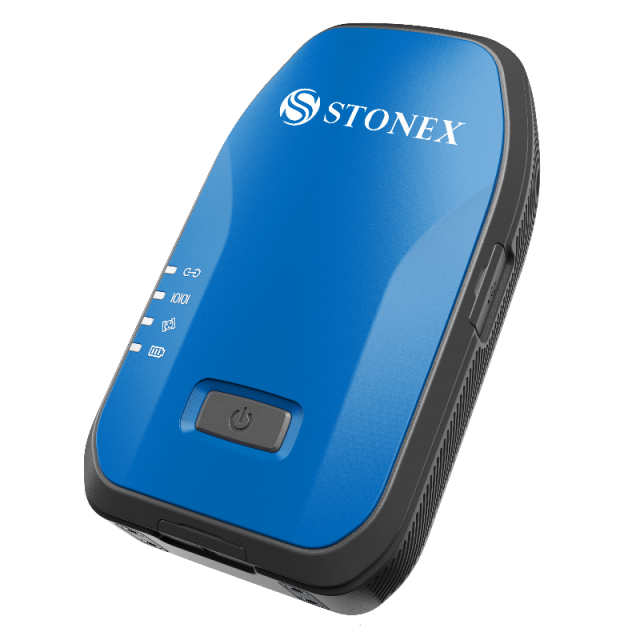
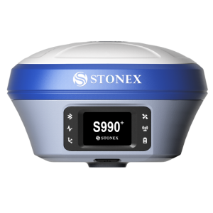
S580 is a compact and light GNSS receiver but at the same time performing and with centimeter accuracy.
S580 track double frequency signals and works with all satellite systems (GPS, Glonass, BeiDou, Galileo, QZSS). Compared to traditional GIS products, the S580 is an intelligent, high precision data acquisition receiver that can be worn or mounted on a pole, offering greater freedom of movement and flexibility. The S580 can communicate with an external device like a tablet, a smartphone or a PC through Bluetooth and Wi-Fi.
Thanks to the internal web interface, or through the Cube-connector APP, the receiver can be configured and prepared to receive RTK differential corrections and connected to any software for Survey or GIS.
Rubber protective cover, increase the protection of the device, non-slip and no damage, the whole device protective class reaches IP67, and it resists 1.2m hard ground drop.
Precision Farming, Mapping, GIS data collection, environmental agencies, fotogrammetry by UAV, forestry are just a short list of the fields where Stonex S580 will give a decisive impulse to the productivity and to the quality of the positioning data; with the ability to use the already existing devices, as Smartphones and Tablet with Android and Windows.
More info: https://www.stonex.it/project/s580-gnss-receiver/
Do you have questions about this product?
- Questions about price, availability, and/or retailers
- Questions about technical specifications and usage
- Questions about suitability for your project or application
Specifications
-
General
-
Year of introduction
2021
Main design elements
hardware
Total Weight [kg]
0,313
Width [m]
0.078
Height [m]
0.136
Depth [m]
0.031
-
Connectivity
-
Bluetooth
Y
Ports
Type-C USB
WiFi
Y
-
GNSS Receiver
-
GNSS Systems Supported
GPS, Glonass, BeiDou, Galileo, QZSS
Number of Channels
184
Integrated SBAS
Y
Update Rate [Hz]
10
Time to first fix after cold start [s]
15
Compatible GNSS correction signals
SBAS, RTK
-
Computer
-
Hard Disk
-
Horizontal uncertainty
-
phase: RTK kinematic (constant part) [m]
0.03
phase: RTK kinematic (variable part) [ppm]
1
-
Operation Characteristics
-
Integrated sensors
Operating temperature: min. [°C]
-40
Operating temperature: max. [°C]
65
Water and dust proof [IP]
67
Humidity resistance
Y
Shock proof
Y
Operation time per battery [hr]
10
Pole mount available
Y
Related products


