PointMan
Mobile Underground Utility Mapping Software
Quickly capture, record, and visualise the precise locations of critical utility and infrastructure data from a standard mobile device.
Description
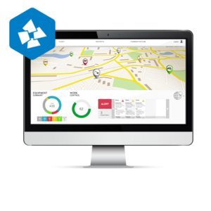
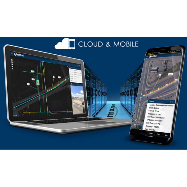
PointMan is a patented cloud and mobile mapping software application that captures, records, and displays the precise location and the associated metadata of critical surface and subsurface infrastructure.
Mission Critical
- PointMan captures the location of buried utilities and pipelines with unprecedented precision and quality including type, depth, and depth of cover.
- PointMan seamlessly integrates with Trimble, Juniper, Emlid, Bad Elf, and EOS GPS/GNSS receivers as well as RadioDetection, Vivax, and Subsite cable & pipe locators.
Benefits Include
- Captures the precise location of assets.
- Works with all major cable & pipe locators.
- Seamless integration with GPS/GNSS receivers.
- Improved workflow efficiencies.
- Cost-effective.
- Maintain regulatory compliance.
- Better data visibility.
- Maintain complete and accurate records for audits.
- Reduced line strikes.
- ASCE 38-22 compliant.
- Accurate attributes enable improved business decisions.
- Modernized software.
- Precision data is submitted to the cloud in real-time.
- Improved communications across all stakeholders.
- High ROI for collecting survey-grade data.
- US-based customer support.
- Easy to manage to license.
THE INDUSTRIES WE SERVE
- CONSTRUCTION
- DOT
- SUE
- ONE CALL
- MUNICIPALITIES
- LOCATING
- UTILITIES
- RAILWAY
Specifications
-
Data management
-
Spatial reference system
-
Geometry types
-
Lines
Points
Surfaces
Raster
-
Other
-
License or freeware
-
2D Editing
-
Select
Remove
Graphic transformations
-
2D Construction
-
Positioning in relation to other element
-
Storage
-
Type of data storage
Input formats
Export formats
-
Visualisation
-
Types
Change view
Thematic mapping
-
Interoperability
-
Web standards
Spatial database management systems
Messaging protocols
Extensions
Metadata
-
General
-
Supported operation system
Main GIS category
-
Data analysis
-
Merge
Buffer
Overlay operations
