Planetary Variables
Quantifying a Changing World
Analysis-ready data powered by remote sensing for water, temperature, carbon, and vegetation.
Planet
San Francisco, US
Description
Earth’s hydrological and biological systems shift on a daily basis with immense complexity. Satellite data from Planet can help track some of the vital characteristics that define the health of our world, including water, vegetation, temperature, and forest carbon.
Planetary Variables render complex earth observation data from a range of constellations into actionable measurements, nearly everywhere on the Earth’s landmass. Powered by state-of-the-art remote sensing techniques and honed by a team of award-winning scientists, Planetary Variables provide users robust measurements of the Earth’s surface.
Make better decisions across a range of industries with tools powered by consistent observations and backed by an archive that spans decades.
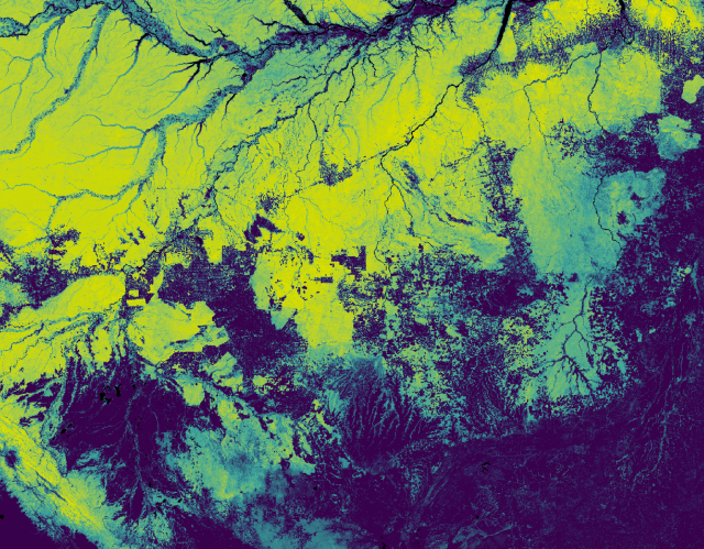
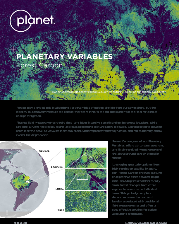
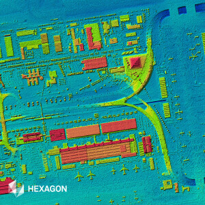
Monitoring Forest Carbon
Our Forest Carbon dataset offers estimates of aboveground forest carbon stocks for carbon project accounting, digital MRV, reforestation, and deforestation monitoring. Built off Planet’s Surface Reflectance basemaps and validated with extensive airborne lidar, these global data allow low-cost, high-accuracy tracking of tree-scale carbon stocks.
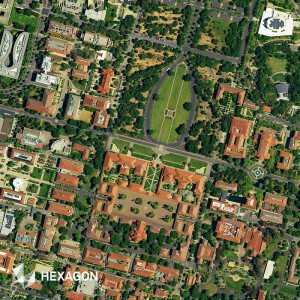
Automated Field Boundary Detection
Planet Field Boundaries provides critical infrastructure for agriculture solutions including regional crop monitoring and yield estimation, and at an affordable price point to help deliver over broad areas. From food security to supply chain traceability to commodities trading, agricultural field boundaries from Sentinel-2 imagery enable high-level analytics at scale.
Monitoring Crop Growth and Optimizing Input Efficiency
With detailed, reliable and timely crop growth data, Planet’s Crop Biomass provides a straightforward, analysis-ready datastream. Cloud-free biomass data can help track crop growth and provide an input for variable rate applications, and because of its consistency, it can support the identification of key events like harvesting or mowing. Ideal for farmers and the companies that serve them.
Water Resource Monitoring
Near real-time Soil Water Content data helps monitor complex water systems by measuring current water levels to estimate water demand. With two decades of archive data, water resource managers can understand what’s normal and what’s not, tracking droughts, flooding, and the effects of interventions.
Tracking Drought
Planet’s Soil Water Content data generates a reliable, objective measurement of the water content of the soils, anywhere on earth. By tracking conditions over years and decades, a baseline understanding of Soil Water Content is ideal to assess the impact of drought. In collaboration with the world’s most innovative reinsurers and brokers, Planet provides Soil Water Content data in 17 countries to help protect farmers from the impacts of drought.
Learn more here.
Documents
Brochure
Planet-Datasheet-ForestCarbon-Letter.pdf
1.05 MB
Other documents
-
Planet-Datasheet-SoilWaterContent-A4.pdf5.11 MB
-
Planet-Datasheet-PlanetaryVariablesCropBiomas-A4.pdf1.04 MB
-
Planet-Datasheet-LandSurfaceTemperature-A4.pdf4.4 MB