Planet Monitoring
Real-time satellite monitoring
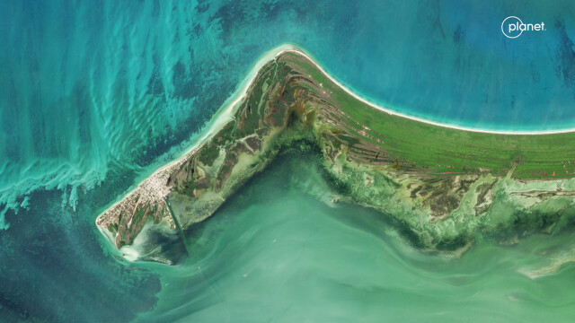
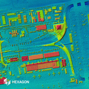
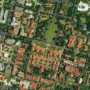
With roughly 200 Dove satellites in orbit, PlanetScope Monitoring provides a high-resolution, continuous, and complete view of the world from above, every day.
Planet
San Francisco, US
Description
With a Planet Monitoring subscription, you have easy access to the most up-to-date images of your area of interest and an expansive archive.
Planet Monitoring’s global image dataset is updated daily, and dates back to 2009. Delivered in ready-to-use formats, these images are easy to access and order through Planet’s APIs, web applications, and GIS integrations.
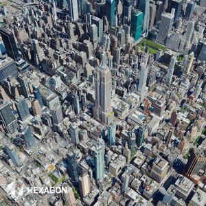
High Resolution - 3.7 meter resolution images in four multispectral bands: RGB and Near Infrared.
Image Library - Extensive archive of high-resolution images dating from 2009.
Global Coverage - Over 300 million square kilometers of imagery collected each day.
Access and Integration - Ready-to-use images and data, integrated simply into your existing workflow.
Learn more here.
Documents
Brochure
Planet-Datasheet-ArchiveAndMonitoring-A4.pdf
1.65 MB