Planet Analytical Feeds
Automated, cloud-based analytic feeds
Powered by deep learning and computer vision, daily imagery is transformed into analytic feeds that detect and classify objects, identify geographic features, and monitor change over time. Data is delivered from your area of interest in GeoJSON and GeoTIFF format.
Planet
San Francisco, US
Description
Powered by deep learning and computer vision, Planet Analytics transforms daily imagery into analytic feeds that detect and classify objects, identify geographic features, and monitor change over time and around the globe.
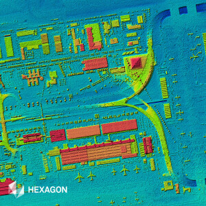
Building Detection
Powered by computer vision, Building Detection delivers the most consistently updated building maps at scale. With Planet Building Detection, you can:
Update maps and charts
Route resources more effectively
Track urban growth and plan future development
Gain insight across broad geographies and locations of interest
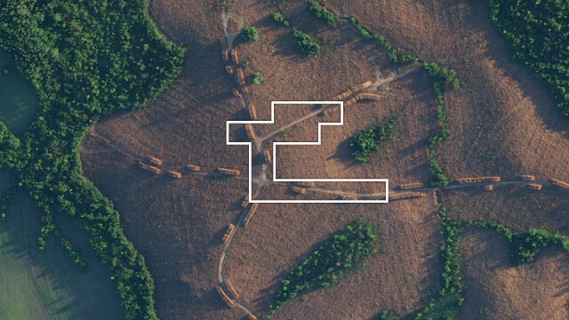
Road Detection
Road Detection extracts existing and new roads from Planet’s near-daily Planetscope imagery on a monthly or weekly basis, providing the data you need to:
Update maps and charts
Improve routing of fleets and resources
Gain competitive intelligence in remote locations
Automated Change Detection
Let Planet’s models do the work for you with Automated Road and Building Change Detection. This option automatically extracts changes from country-wide areas, allowing you to:
Save time monitoring broad areas of land
Find new construction and signs of activity on a global scale
Cost-effectively direct resources where they are needed
Planet Analytic Feeds automatically scans Planet’s daily datasets to identify features and objects within your defined areas of interest. Leverage this analytics solution to access the insights you need from the wealth of intelligence that Planet provides.
Learn more here.
Documents
Brochure
Planet-Datasheet-AnalyticFeeds-Letter.pdf
4.38 MB
