
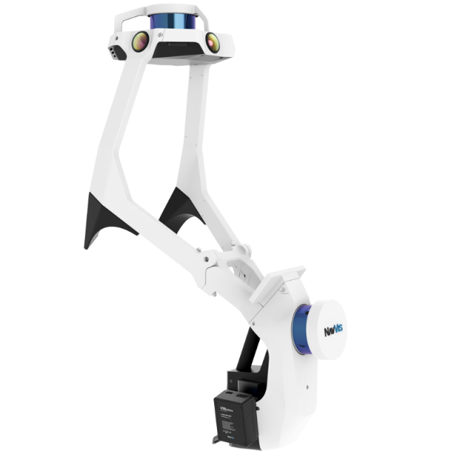
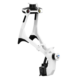
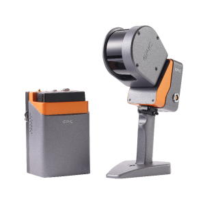
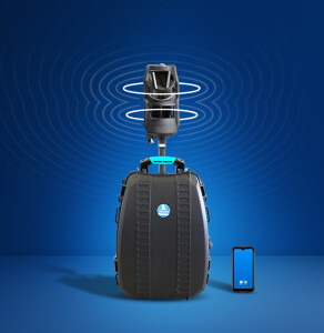
NavVis VLX 2
Ready for anything
NavVis VLX 2 is the industry-trusted wearable mobile mapping system designed for laser scanning professionals that require fast, accurate, and affordable reality capture of the built environment.
NavVis
Munich, DE
Description
NavVis VLX 2 is the industry-trusted wearable mobile mapping system designed for laser scanning professionals that require fast, accurate, and affordable reality capture of the built environment.
Specifications
-
General
-
Applications
Surveying and reality capture services, 2D & 3D Modeling (BIM and CAD), Construction Verification & Monitoring
Type
-
Camera System
-
Number of cameras
4
Export formats
JPEG
-
Software specifications
-
Software name
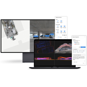
NavVis System Software and NavVis IVION Core
Output data [point cloud, images, mesh, ...]
Point cloud and HD panoramic images
Output file formats
E57, LAS, PTS, XYZ, PLY
-
More information
-
Main applications
Surveying and reality capture services, 2D & 3D Modeling (BIM and CAD), Construction Verification & Monitoring
Distinguishable features
NavVis system software features state-of-the-art SLAM algorithms that have been specifically developed to overcome the challenges of capturing high-quality point clouds with a mobile system.
-
Laser Scanner
-
Number of laser scanners
2
Wavelength [nm]
903
Laser safety classification
1
Max Range [m]
100
Max. vertical field of view [deg]
360
Max. horizontal field of view [deg]
360
Scans per second
600000
-
Positioning System
-
SLAM algorithm implemented
Y
Other positioning sensors and/or additional information
WiFi, Bluetooth, IMU
-
Data storage
-
Data storage type [120 characters]
Removable SSD drive
Max. data storage [Internal + External in Gb]
1256
-
Power Supply
-
Battery type [120 characters]
Li-ion, V-Mount Micro, hot-swappable
Operating time on single battery [hr]
1.5
