
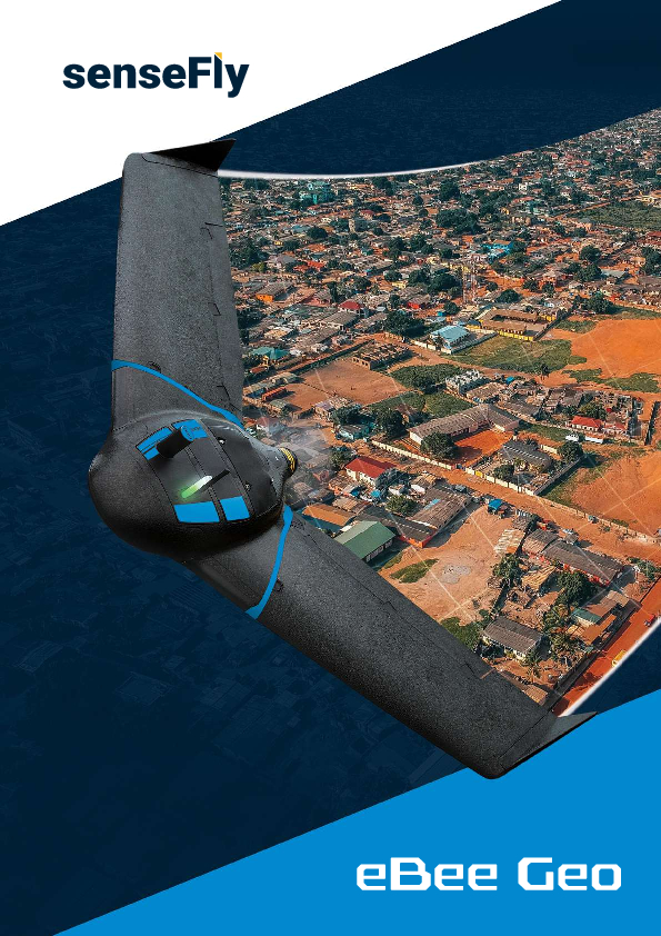
eBee Geo Drone
Survey and map more for less
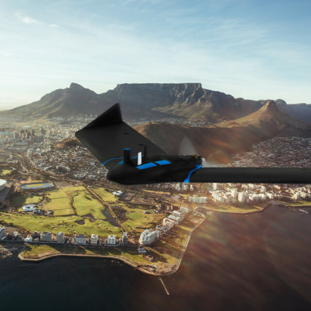
eBee Geo is an affordable fixed-wing mapping drone designed to meet the highest demands of surveyors, civil engineers and GIS professionals worldwide. Designed to complement your surveying toolkit, eBee Geo comes with everything you need to get started, including professional drone camera technology and eMotion, AgEagle’s proven flight planning software.
AgEagle Aerial Systems Inc.
Cheseaux-Lausanne, CH
Description
Survey and map more for less
You’ve set your sights on the next job. Accuracy, site accessibility and safety define your success; and with a fixed-wing survey drone, you can capture more while reducing field time and costs.
eBee Geo is an affordable fixed-wing mapping drone designed to meet the highest demands of surveyors, civil engineers and GIS professionals worldwide. eBee Geo is rugged, intuitive to operate and makes surveying and mapping small to large areas faster and more efficient than using terrestrial surveying equipment alone. The data collected can quickly be processed into highly-accurate georeferenced orthomosaics, digital elevation models, digital surface models and high-density point clouds to bring additional value beyond common vectors. Designed to complement your surveying toolkit, eBee Geo comes with everything you need to get started, including professional drone camera technology and eMotion, AgEagle's proven flight planning software.
Specifications
-
Environment
-
Min. operation temperature [°C]
-10
Max. operation temperature [°C]
40
Max. humidity [%]
95
-
Imaging/scanning devices
-
Onboard imaging/scanning devices
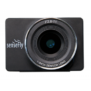
Type of Camera
senseFly S.O.D.A.
Build-in Stablilsation
Y
Exchangeable
N
-
Platform
-
Platform
Aircraft
Brand
AgEagle
Max. stay in the air [min]
45
Max. speed [km/h]
110
Max. height above sea level [m]
2500
Propulsion
single pusher propeller, low-noise brushless electric motor
-
Accessories
-
Transportation accessories
New light weight backpack (full loaded with lapytop 10kgs)
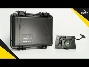
Included batteries and charger
Two smart batteries and one charger to charge two batteries
More included products and spare parts
Two spare propellers, ten rubber bands
-
Operation Characteristics and Safety
-
Min. ø of launch/landing site [m]
30
Launching method
One-hand or two-hand
Training provided
N
Automatic launch and landing
Y
Autonomous emergency landing
Y
Collision avoidance systems (CAS)
N
-
Dimensions
-
ø / wingspan [cm]
116
Weight [kg]
1.1
Weight of battery [kg]
0.3
Transport on human back
Y
-
Base Station
-
Ground computer included
N
Type of Ground computer
Windows-based laptop or tablet
Sensor control
Y
Real time image and video download link
N
-
Navigation Sensors
-
Type of GNSS receiver and captured signals
Survey grade, dual frequency, GPS+GLONASS
Correction services [PPK, RTK]
RTK
Other sensors and additional information
Active ground distance sensor, barometer, Pitot probesenseFly S.O.D.A.
-
General
-
Year of last update
2021
Typical applications
mapping photogrammetry30 DTM DSM orthomosaic pointclouds drone
-
Included software and automatically generated
-
Type of software included
Flight planning
Automatically Generated Products
3D City Models, Point Clouds, 3D Landscape Models, Orthomosaics
Flight planning software
senseFly eMotion 3.18
Photogrammetric software
Pix4D Mapper or Photoscan Agisoft or Trimble Business Center
Additional information on software or automatically generated products
Automatic upload to Dronelogbook
Documents
Brochure
ebee-geo-en-2021-v1.pdf
6.48 MB
Other documents
-
Sensor Optimised for Drone Applications333.78 KB


