Join 40,000+ geospatial professionals and get technology news delivered straight to your inbox every week. Subscribe today.

Introducing senseFly eBee Geo

AgEagle Aerial Systems Inc. 0 views
Survey and map more for less - Introducing the eBee Geo! The eBee Geo is an affordable fixed-wing mapping drone designed to meet the highest demands of surveyors, civil engineers and GIS professionals worldwide. Rugged and intuitive to operate, eBee Geo makes surveying and mapping small to large areas faster, more efficient and with less risk than using terrestrial surveying equipment alone.
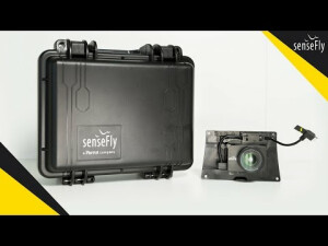
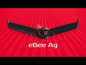
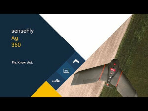
Ask a question

We are happy to assist.

Daniƫl Haanskorf Peter Tapken Sjors Kloosterman

We're available on all weekdays and usually reply within 1-2 working days.

Please provide detailed information.

Let us know a little about you and your contact information.

Do you represent a company or organization?

Before we proceed, would you be interested in subscribing to our newsletter?

By completing this form, you acknowledge and agree to abide by our Terms and Conditions, Privacy Policy and Cookie Policy.

Thank you for your message! Our team tipically to respond to inquiries within 1-2 business days.