
Description
Specifications
-
Data management
-
Security options for access
Y
Search on file content
N
Version management
N
Spatial reference system
Selectable
-
Geometry types
-
Lines
Polyline
Points
Point
Surfaces
Polygon
Raster
-
Other
-
License or freeware
License
Training
Y
Main applications
UtilitiesAsset managementBurried network mappingAgriculture plot controls...
Distinguishable features
Automatic measurments when associated with Radiodetection locators
-
2D Editing
-
Select
Remove
Graphic transformations
-
2D Construction
-
Positioning by coördinates
Y
Positioning by snapping
Y
Positioning in relation to other element
-
Storage
-
Type of data storage
File
Native storage format
.agi
Input formats
Export formats
Shape, Others
Compression
N
-
Visualisation
-
Types
Change view
Thematic mapping
-
Interoperability
-
Web standards
Spatial database management systems
Messaging protocols
Extensions
Metadata
-
General
-
Year of introduction
2003
Year of last update
2016
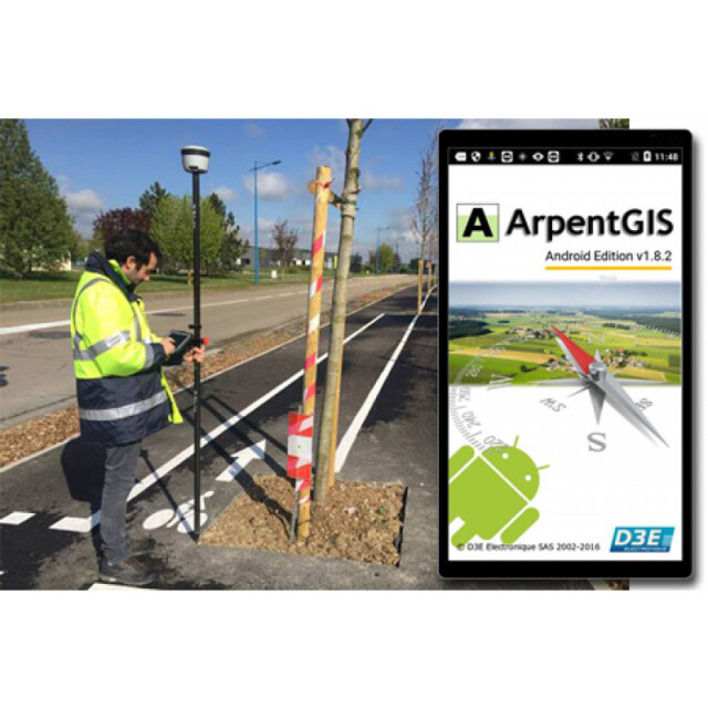
Supported hardware
Every smartphone, tablet or datalogger running Android or Windows Mobile or Windows Operating System.Every GNSS receiver having NMEA and/or "Mock" protocol
Supported operation system
Windows, Other
Main GIS category
Mobile GIS
-
Data analysis
-
Merge
Buffer
Overlay operations


