
Alpha Mi Survey USV
Alpha Mi Survey USV
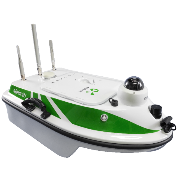
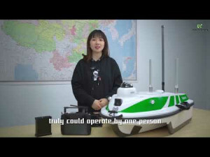
Alpha Mi is exclusively designed for single-person measuring work of lakes and rivers. Trimaran construction ensures stable sailing and is used in conjunction with a dual pump propeller, RTK, and Singlebeam. HD image and intelligent ship control are integrated for more convenient underwater measurement. ● The speed is up to 5m/s ● Working time up to 3-6 hours ● Support larger customised battery ● Able to work in torrent
Description
Alpha Mi USV for surveying
Alpha Mi is exclusively designed for single-person measuring work of lakes and rivers. Trimaran design ensures stable sailing and is used in conjunction with dual pumpjet thruster, RTK, Singlebeam, HD image, and intelligent ship control are integrated for more convenient and high precision underwater measurement.
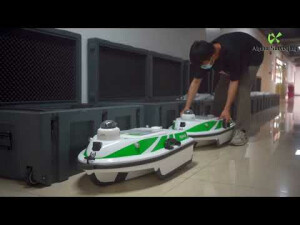
Easy Work For Even One Person
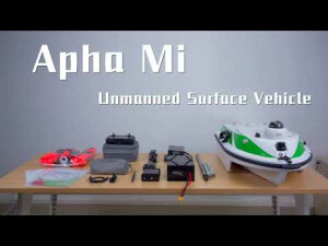
The size of an alpha Mi is only 900×500×340mm, the whole set of which can be carried by one person without difficulty. The hull can be easily put into a car trunk. A single worker can quickly conduct his hydrographic survey as soon as the battery and the antennas are installed.
4G For Remote Control
4G network brings unlimited control distance
Convenient Operation
The boat is ready for measuring work from one site to another within minutes.
Dual Pumpjet Thrusters
Equipped with a high-speed thruster, the top speed is up to 5m/s and can work in torrents.
Working Time
Customised working time, 3 hours for one battery
Singlebeam Echosounder
Equipped with a highly sensitive Echosounder that enables it to work in a shoal, the shallowest of which is 0.2 meter
Protection
Streamline slope design at the bottom of the boat plus blade-like filter and pump protect the vehicle from being entangled by aquatic plants
Integrated Software System
The alpha software system is a software solution used for route planning, parameter setting, hull control, data display, status display and export, etc. Customised and satellite image maps can be imported or downloaded when the network works. The software system can automatically generate routes, execute navigation tasks, continue navigation tasks after breakout and finally return to the place of departure.
Do you have questions about this product?
- Questions about price, availability, and/or retailers
- Questions about technical specifications and usage
- Questions about suitability for your project or application
Specifications
-
General
-
Length [m]
0.9
Width [m]
0.5
Height [m]
0.34
Min. weight of USV in air [kg]
16
Max. Weight of USV in air [kg]
20
Portable
Y
Number of thrusters
2
-
Operations
-
Max. speed [kn]
5
Min. required number of surface computers
1
Max. Remote Operating Range {m}
2000


