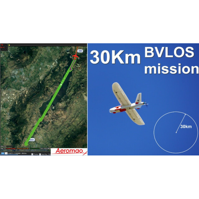
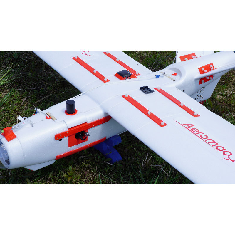
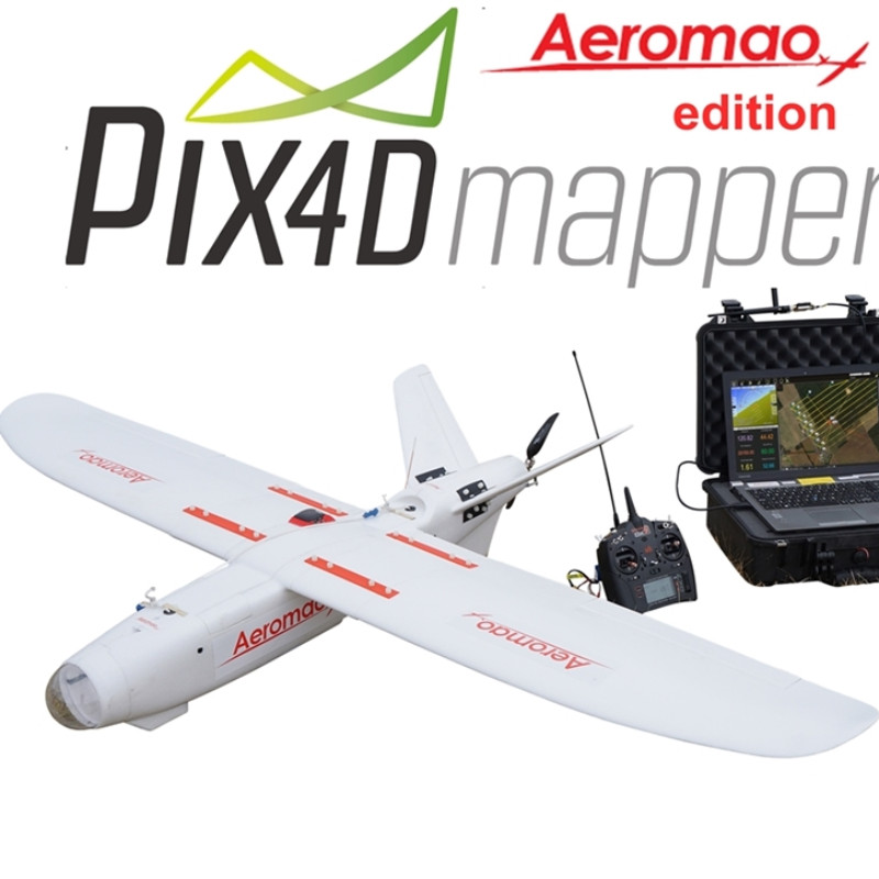
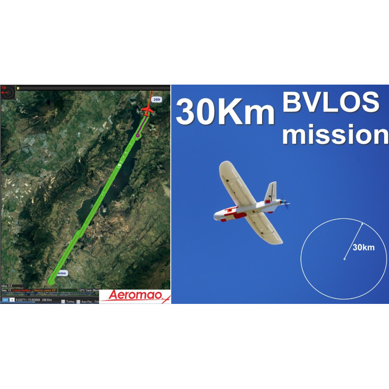
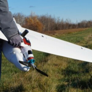
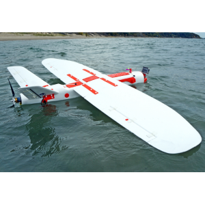
The Aeromapper Talon offers the easiest way to achieve professional georeferenced DEMs, orthomosaics and point clouds of exceptional image resolution and high accuracy. Features fully autonomous takeoff, flight and landing, parachute recovery or automatic belly landing, 24 megapixel RGB camera along with more optional sensors, easy hand-launches, 5-10 minutes setup time, 2 hours of endurance, +30km link range for sustained BVLOS operations, strong and durable EPO foam body (not Styrofoam) reinforced with carbon fiber, all in a rugged – easily transportable package.
Currently our best seller unmanned system thanks to its 2 hour endurance, features and unmatched price point, the Aeromapper Talon has everything beginners and experienced users are looking for they expanding UAS program. A natural and intelligent choice after the operational needs outgrown sub-2Kg UAS systems.
Also available with an optional GNSS PPK upgrade for up to 3cm accuracy with no Ground Control Points and several more swappable payload options.
Our customers benefit from our world-class customer service with unlimited assistance and support.


