


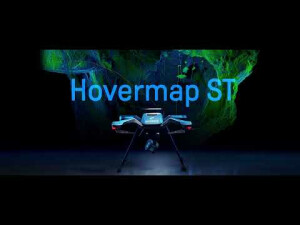
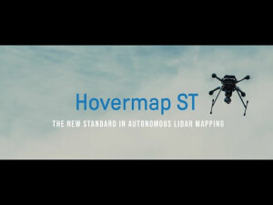
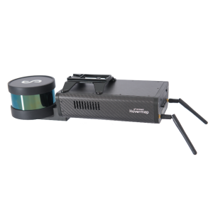
Hovermap ST
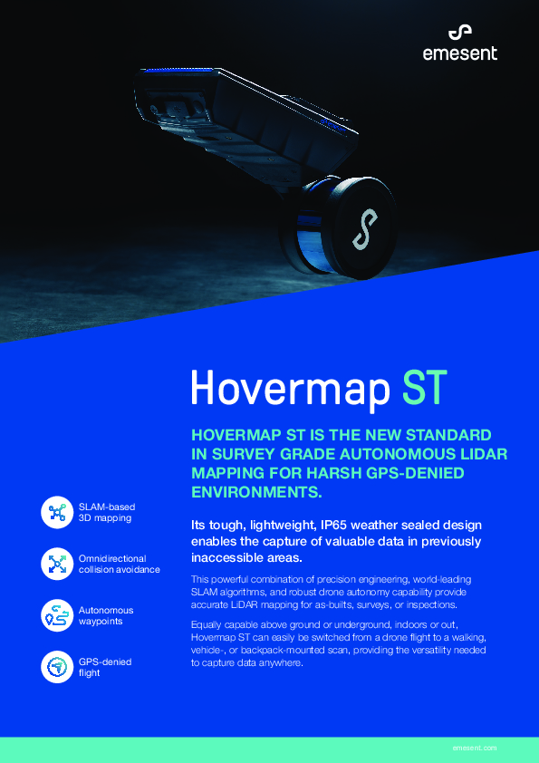
Hovermap ST Is the New Standard in Survey Grade, Autonomous LiDAR Mapping for Harsh GPS-Denied Environments.
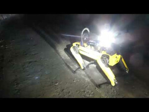
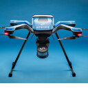
A versatile SLAM-based mapper, Hovermap ST makes data capture fast, simple, and safe. Hovermap ST is a smart mobile scanning unit equally capable above ground or belowground, indoors or out.

Emesent
Milton, AU
Description
Hovermap ST is the new standard in survey grade, autonomous, LiDAR mapping. It's tough, lightweight, IP65 weather sealed design enables the capture of valuable data in previously inaccessible areas. This powerful combination of precision engineering, world-leading SLAM algorithms, and robust drone autonomy capability provides accurate LiDAR mapping for as-builts, surveys, or inspections. Equally capable above ground or underground, indoors or out, Hovermap ST can easily be switched from a drone flight to a walking, vehicle-, or backpack-mounted scan, providing the versatility needed to capture data anywhere.
Do you have questions about this product?
- Questions about price, availability, and/or retailers
- Questions about technical specifications and usage
- Questions about suitability for your project or application
Specifications
-
General
-
Type
Year of last update
2022
Year of introduction
2022
Operating temperature: min. [°C]
-10
Operating temperature: max. [°C]
45
Weight [kg]
1.6
Water sand and dust proof
It's tough, IP65, weather sealed design allows the mapping of harsh environments without concern for dust, rain, extreme temperatures, or humidity.
Humidity range
90% at 40°C
-
More information
-
Main applications
underground mining, above-ground mining, telecom towers, transmission towers, bridges
Distinguishable features
Hovermap ST combined with the new Automated Ground Control feature is set to revolutionize SLAM*-based LiDAR mapping. This new feature enhances the SLAM solution to remove SLAM drift and produce survey grade, georeferenced point clouds. It provides unrivaled SLAM accuracy and workflow efficiencies, allowing users to capture data autonomously in more complex environments.
-
Laser Scanner
-
Min. Range [m]
0.4
Max Range [m]
100
Max. vertical field of view [deg]
360
Max. horizontal field of view [deg]
290
-
Positioning System
-
SLAM algorithm implemented
Y
-
Data storage
-
Data storage type [120 characters]
512 Gigabytes – approximately 8 hours of sensor data
-
Power Supply
-
Battery type [120 characters]
14.8v battery, Standard battery charger
Documents
Brochure
hovermap-st-brochure.pdf
4.8 MB
Other documents
-
Hovermap ST Spec Sheet697.95 KB


