

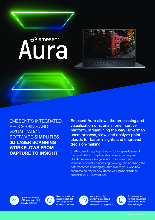
Aura
Integrated Processing and Visualization Software. Simplifying 3D Laser Scanning Workflows from Capture to Insight
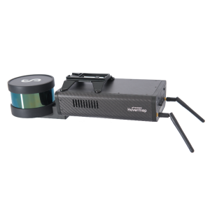
Emesent Aura allows the processing and visualization of scans in one intuitive platform, streamlining the way Hovermap users process, view, and analyze point clouds for faster insights and improved decision-making. SLAM-based mapping is known for its speed, ease of use, and ability to capture shadowless, dense point clouds. As use cases grow and point cloud sizes increase, efficiently processing, viewing, and analyzing the data becomes challenging.

Emesent
Milton, AU
Description
Easy Data Processing and Visualization
Simplifying 3D Laser Scanning Workflows From Capture to Insight
SLAM-based mapping is known for its speed, ease of use, and ability to capture shadowless, dense point clouds. As use cases grow and point cloud sizes increase, efficiently processing, viewing, and analyzing the data becomes challenging.
Emesent Aura solves this by providing an end-to-end workflow optimized for Hovermap users.
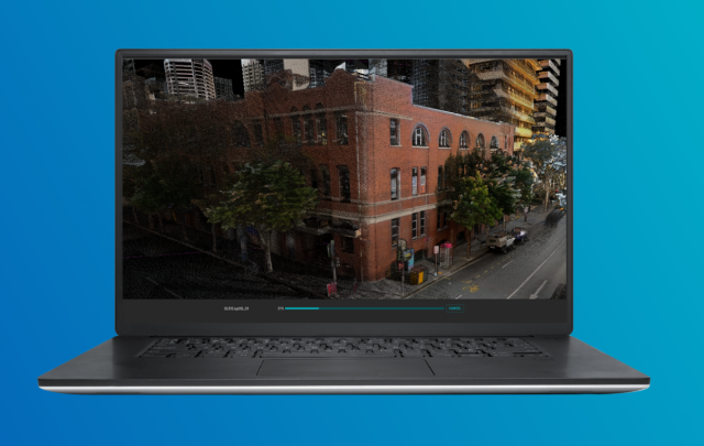
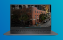
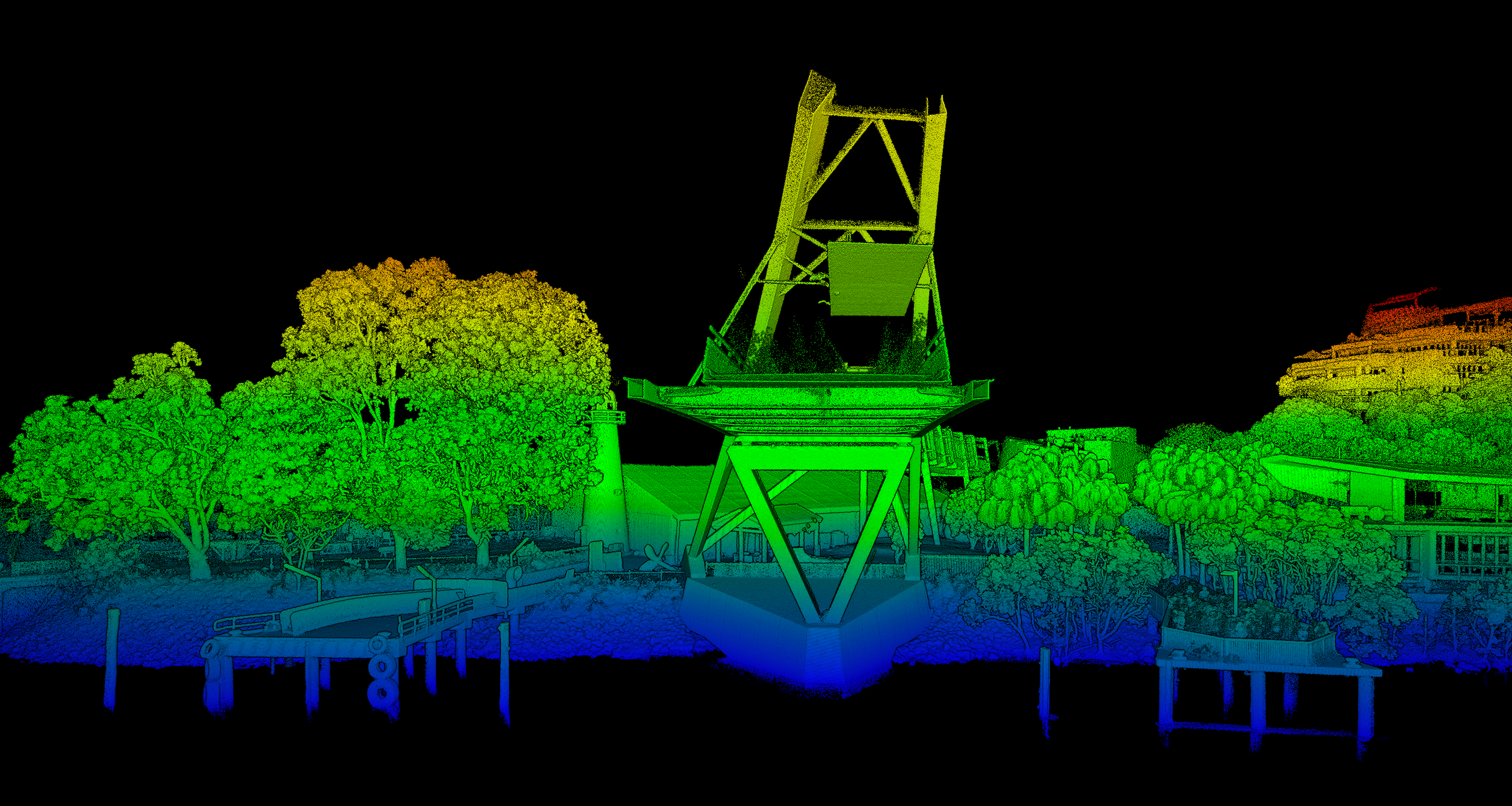
Real-World Colorization
View scanned features with true-to-life realism and ensure easier interpretation of objects with enhanced point cloud colorization.
Automated Noise Filtering
Processing powered by the world’s leading SLAM algorithm converts your data into highly detailed, accurate point clouds, with features to improve point cloud accuracy.
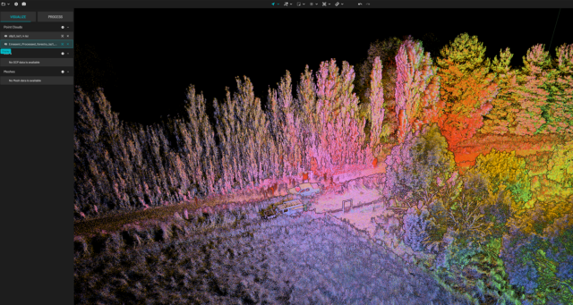
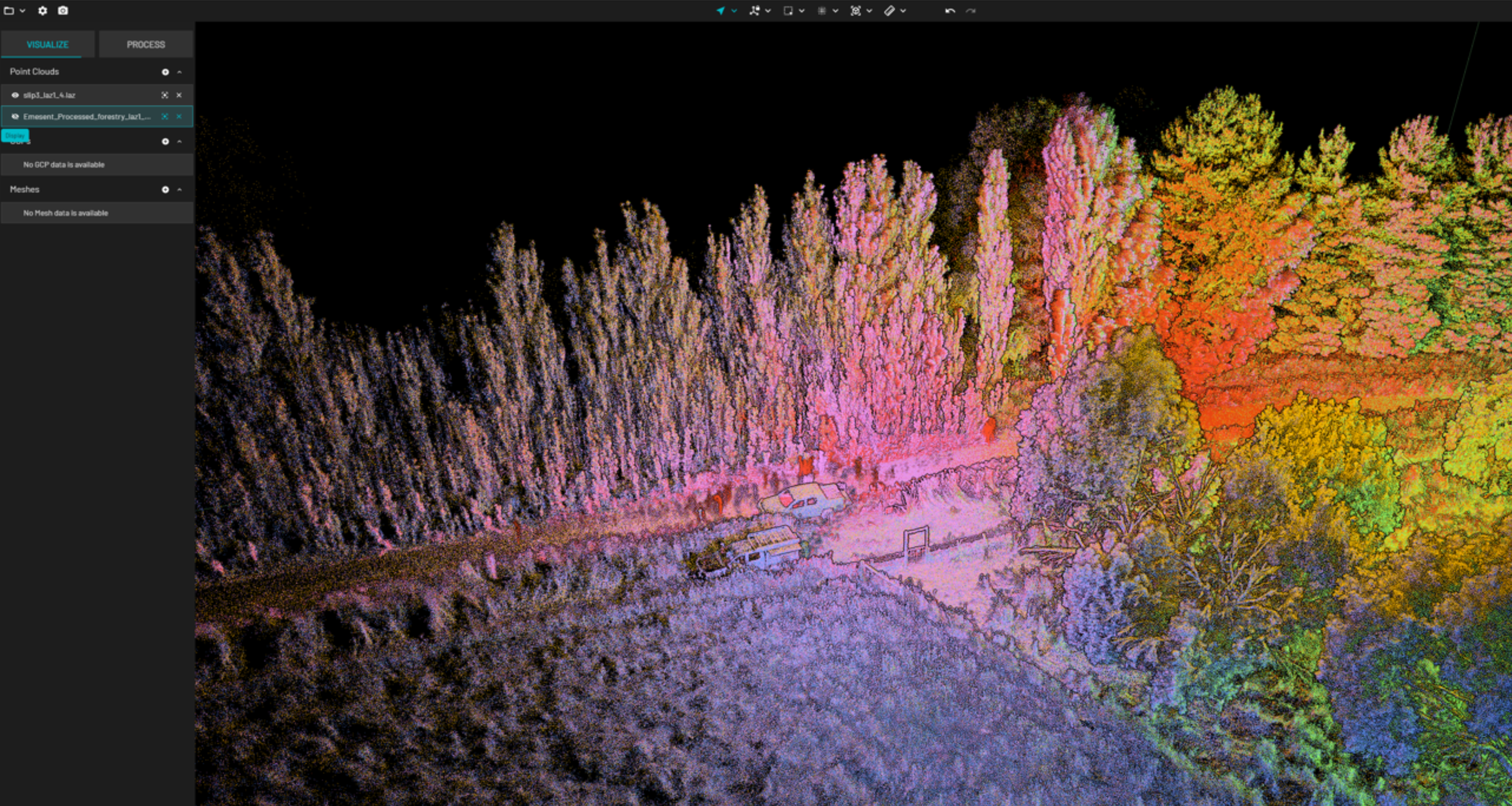
Intuitive and Responsive Interface
Aura’s simple navigation and intuitive workflows make it easy for users of all levels to process, visualize, analyze and export their data. Effortlessly combine point clouds, join scans and save files in different formats.
Reliable, High-Quality Processing
Processing powered by the world’s leading SLAM algorithm converts your data into highly detailed, accurate point clouds, with features to improve point cloud accuracy.
Save and Export Your Point Clouds in Stages
Flexibly manage your point clouds in the way that suits you with the capability to save your work as you go, create separate copies for export, easily change file formats or join multiple point clouds into one file.
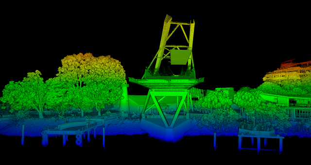
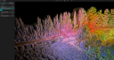
COLOR SCALE FILTERING
Uncover hidden details and improve visualization and analysis by applying pre-set filters based on specific attributes, including elevation, position, intensity, time and range.
Do you have questions about this product?
- Questions about price, availability, and/or retailers
- Questions about technical specifications and usage
- Questions about suitability for your project or application
Specifications
-
General
-
Year of initial introduction
2022
Year of last update
2023
Source of Point Clouds
Documents
Brochure
Emesent Aura Brochure.pdf
2.57 MB


