


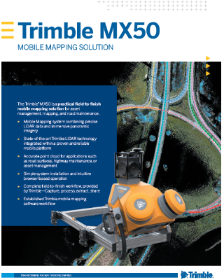
Trimble MX50
Practical field‑to‑finish mobile mapping solution for asset management, mapping, and road maintenance
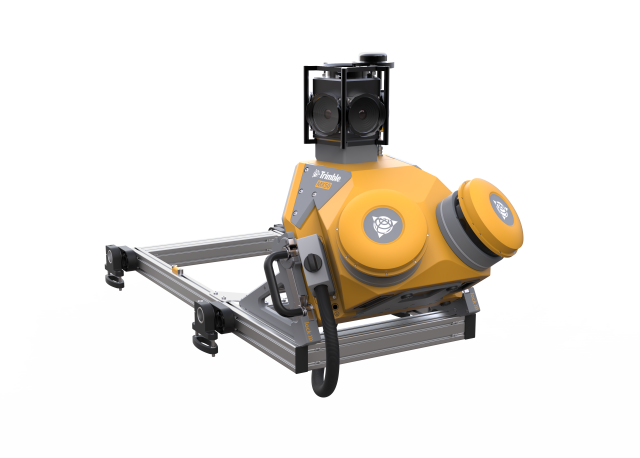
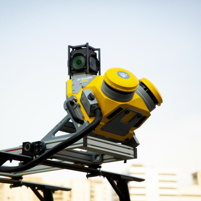
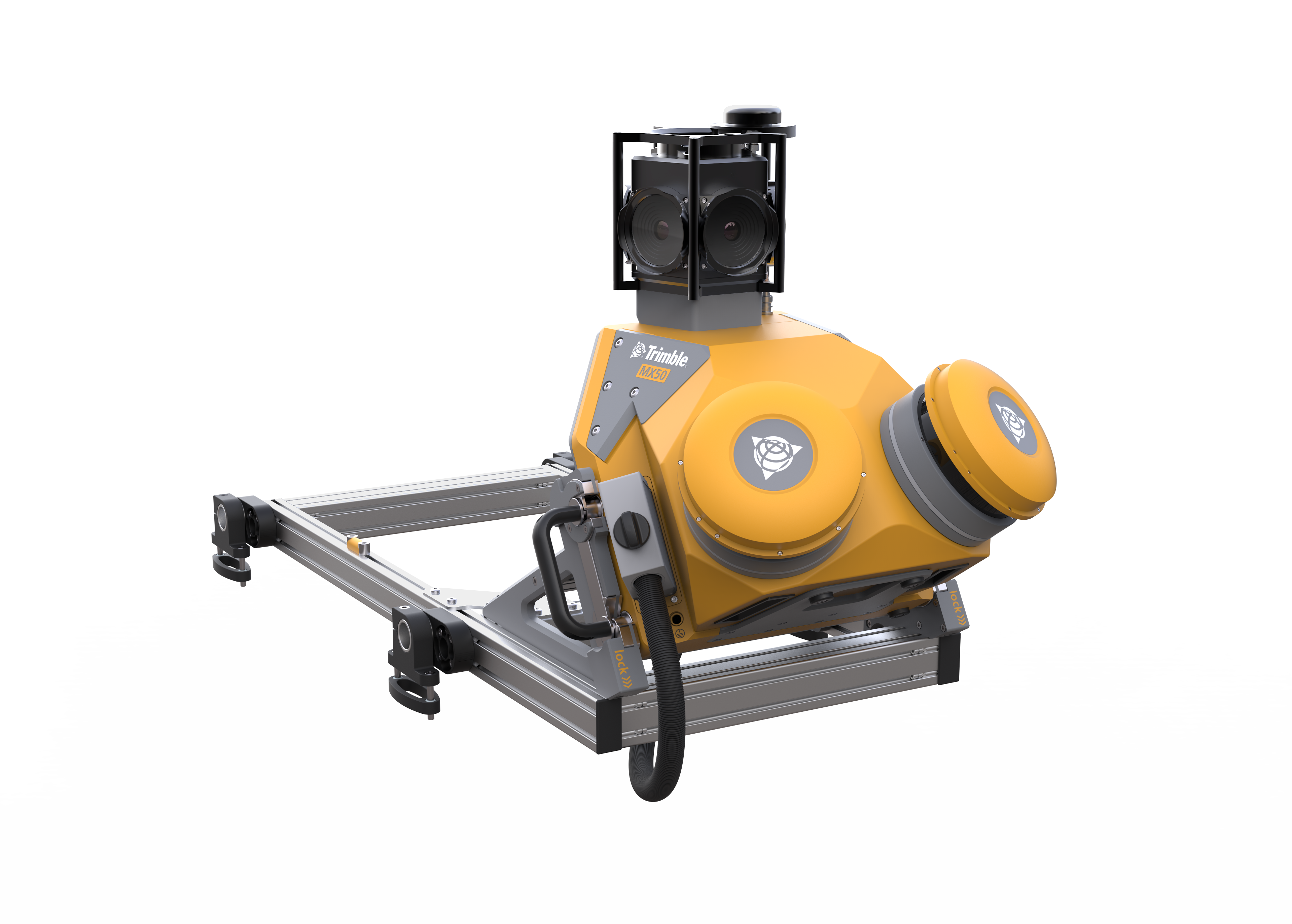
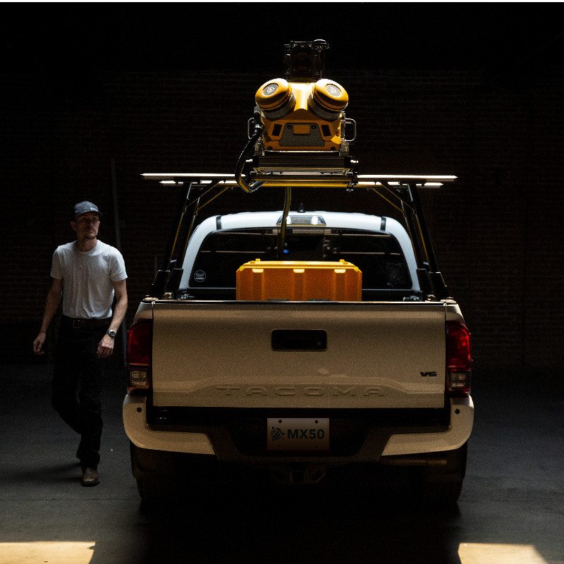
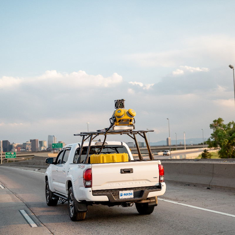
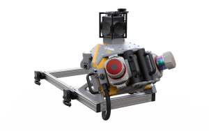
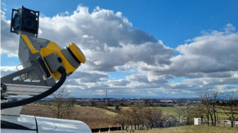
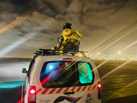
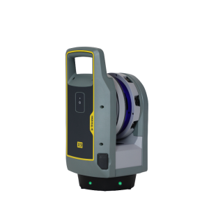
The Trimble MX50 typically mounts on the roof of a vehicle and captures Lidar and panoramic imagery at highway speeds. The system employs accurate Lidar technology developed by Trimble. The MX50 utilizes Trimble's established mobile mapping and software workflows. Following data capture, integrated office software tools generate deliverables that can be published to an audience within or outside of your organization.

Trimble, Inc.
Westminster, US
Description
The Trimble® MX50 typically mounts on the roof of a vehicle and captures LiDAR and panoramic imagery at highway speeds. The system employs accurate LiDAR technology developed by Trimble. The MX50 utilizes Trimble's established mobile mapping and software workflows. Following data capture, integrated office software tools generate deliverables that can be published to an audience within or outside of your organization.
Do you have questions about this product?
- Questions about price, availability, and/or retailers
- Questions about technical specifications and usage
- Questions about suitability for your project or application
Specifications
-
General
-
Year of initial introduction
2021
Application
Outdoor
-
Positioning
-
Number of antennas
2
Ground control point integration supported
Y
IMU: Brand and model
Trimble AP20
IMU update rate [kHz]
200
Number of wheel sensors
1
-
Lidar Sensor
-
Brand
trimble
Number of laser scanners
2
Min. Range [m]
0.6
Max Range [m]
80
Max. measurement rate [kHz]
500
Scans per second
240
-
Operation
-
Max. speed [km/hr]
110
Distinguishing features
Mobile Mapping system combining precise LiDAR data and immersive panoramic imagery ► State-of-the-art Trimble LiDAR technology integrated within a proven and reliable mobile platform ► Accurate point cloud for applications such as road surfaces, highway maintenance, or asset management ► Simple system installation and intuitive browser-based operation ► Complete field-to-finish workflow, provided by Trimble—Capture, process, extract, share ► Established Trimble mobile mapping software workflow
Main applications
1. ASSET MANAGEMENT— HIGHWAY, UTILITIES, CITIES 2. ROAD MAINTENANCE
Training provided
Y
-
Camera System
-
Number of cameras
1
FoV per camera [deg]
360
Maximum frames/sec. per camera
10
-
Dimensions & Environment
-
Size with case
Size of sensor unit: 0.54m x 0.55m x 0.57m
Weight [kg]
23
Min. Operation temp. [°C]
0
Max. Operation temp. [°C]
40
Max. humidity [%]
80
-
Included Processing Software
-
Recommended software (If no software included)
Applanix PosPac, Trimble Business Center, Trimble MX
-
Control Unit
-
Computer
BYO Tablet or Laptop
Size hard disk [GB]
2000
WiFi
Y
Documents
Brochure
Brochure - Trimble MX50 Mobile Mapping Solution - English A4 - Screen.pdf
Other documents
-
Trimble MX50 Brochure1.68 MB


