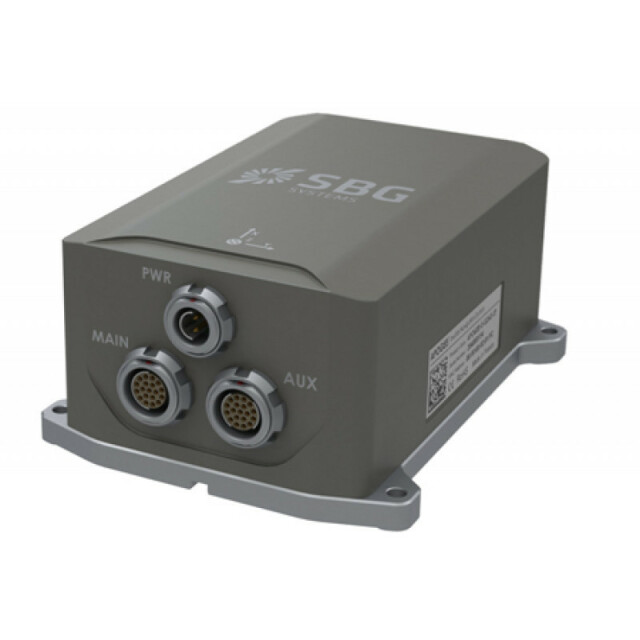
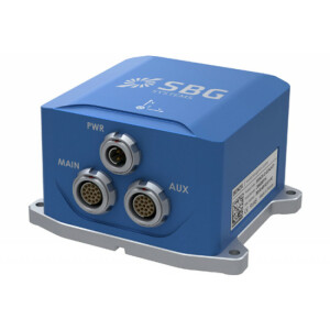
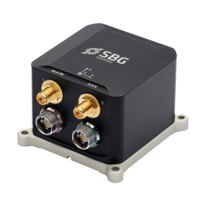
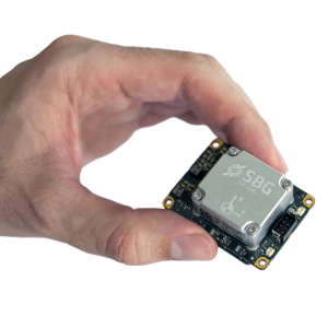
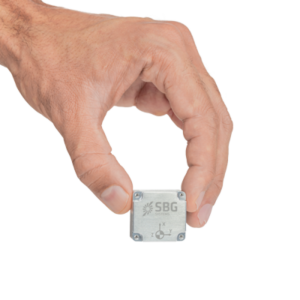
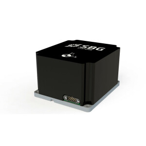
Apogee-E
Navigation with external GNSS
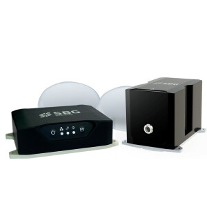
Apogee-E connects to any survey grade GNSS receiver for navigation, and aiding equipment such as odometer or DVL. This highly versatile Inertial Navigation System provides orientation, navigation, and heave data in real-time and post-processing.

SBG Systems
Carrières-sur-Seine, FR
Description
Apogee-E is a highly accurate Inertial Navigation System that connects to a SplitBox GNSS or any survey grade external GNSS receiver for optimal navigation. The ITAR Free Apogee-E is the most accurate and versatile INS based on the robust and cost-effective MEMS technology.
Do you have questions about this product?
- Questions about price, availability, and/or retailers
- Questions about technical specifications and usage
- Questions about suitability for your project or application
Specifications
-
Other specifications
-
Graphical user interface
Y
Typical application
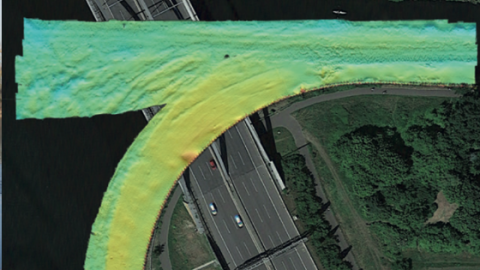
Hydrography, Bathymetry.
Distinguishable features
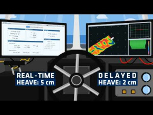
Apogee-E is a highly accurate Inertial Navigation System that connect to a SplitBox GNSS or any survey grade external GNSS receiver for optimal navigation. Apogee-E combined with the SplitBox GNSS is the perfect solution for hydrographic applications, from shallow to deep water. Easy to install, Apogee sensors are compatible with all hydrographic software (Hypack, QPS, PDS2000, etc.). Use the Delayed Heave feature to survey in the worst sea conditions. It can be combined with RTK corrections or a PPP service (Marinstar, TerraStar, Veripos).
Export restrictions
ITAR Free
-
Environmental
-
Non-operating shock tolerance [g]
500
Operating shock tolerance [g]
8
Max. rotation speed [deg/s]
200
Min. operating temperature [°C]
-40
Max. operating temperature [°C]
71
-
Software
-
Filtering
Y
-
GNSS aided uncertainty
-
Heading [deg]
0.015
Pitch [deg]
0.008
Roll [deg]
0.008
Heave: constant part [m]
0.05
Heave: variable part [%]
5
-
General
-
Year of initial development
2014
Height [m]
0.13
Width [m]
0.1
Length [m]
0.58
Weight [kg]
0.69
Min. Voltage (DC)
9
Max. Voltage (DC)
36
Power consumption [W]
3
Splashproof casting
Y
Water resistant casting
N
Mean time between failures [hr]
50000
Type of accelerometer
MEMS
Type of gyro
MEMS
Type of application
Air, Land, Marine
Height [mm]
58
Width [mm]
100
Length [mm]
130
-
GNSS Positioning Sensor
-
Update rate [ Hz ]
200
Cold start [ seconds ]
45
Hot start [ seconds ]
15
-
Data formats
-
NMEA formats
GGA, RMC, HDT, ZDA
RTCM
Y
Other
TSS1, Ethernet
-
Inertial Measurement Unit
-
Accelerometer bias [µ-g]
7
gyro bias [deg/hr]
0.05
Calibration procedure
Factory Calibrated from -20 to 60°
-
GNSS positional accuracy
-
Horizontal Position Accuracy [ RMS in cm ]
100
Horizontal Position Accuracy (RTK) [ RMS in cm ]
0.6
Documents
Brochure
migrationypxnf0.pdf
285.21 KB

Videos


