


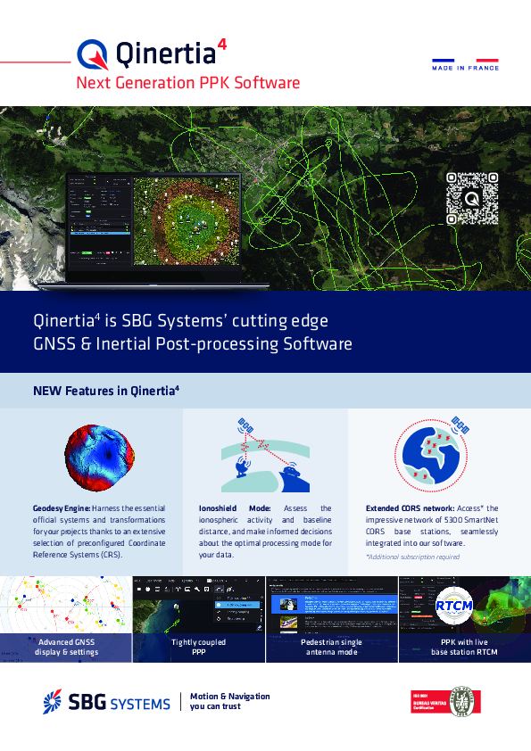
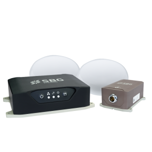
Qinertia Post-processing Software
INS/GNSS PPK Software
Want to improve your navigation data, to access further analysis, to fix some outages in your trajectory? Qinertia gives access to post-processing to all SBG sensors, in all applications/environments. The latest version, Qinertia 4, introduce unique and awaited new features.

SBG Systems
Carrières-sur-Seine, FR
Description
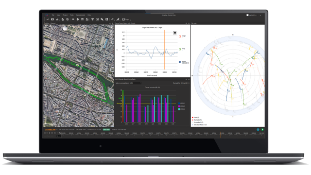
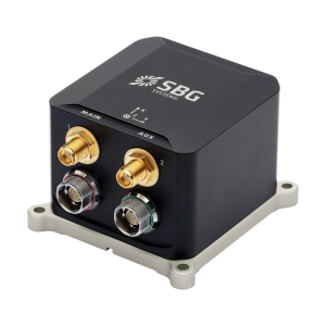
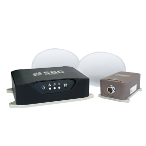
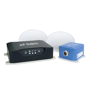
Qinertia is SBG Systems' in-house post-processing software. This full-featured software enhances SBG inertial navigation systems performance by post processing inertial data with raw GNSS observables.
Key Features:
Advanced Geodesy Engine
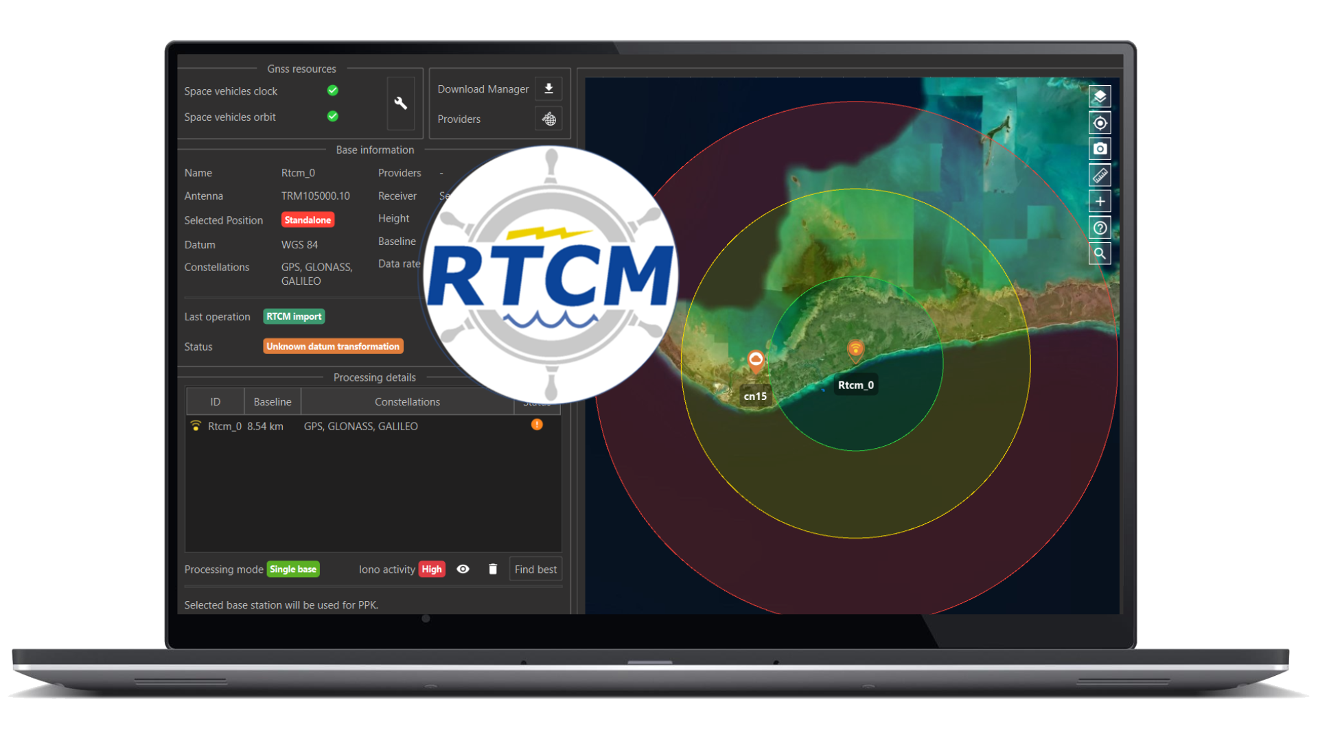
PPK with live RTCM
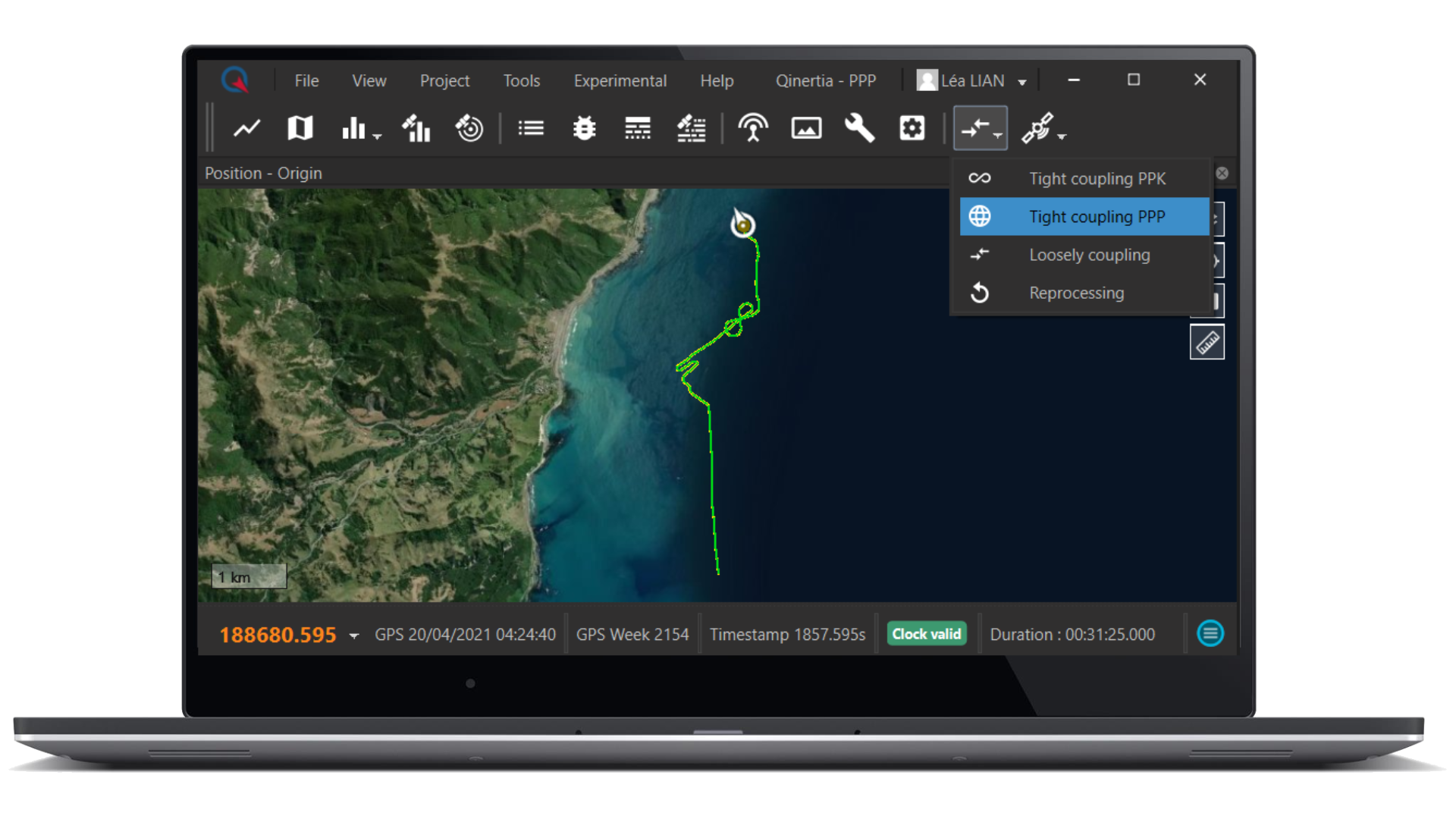
Centimetric position using offline RTK corrections or Precise Point Positioning
Seamless Integration of Odometer and Dual Antenna GNSS
Multi-Constellation Support (GPS, GLONASS, GALILEO, BEIDOU)
Support of third-party IMUs and any GNSS receivers
Photogrammetry: unleash full photogrammetry potential with easy image geotagging
Do you have questions about this product?
- Questions about price, availability, and/or retailers
- Questions about technical specifications and usage
- Questions about suitability for your project or application
Specifications
-
Options
-
INS Integration
Y
Interface
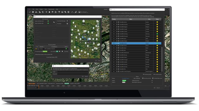
Modern & Intuitive Interface. Easy-to-use step by step projectcreation wizard. Advanced quality & feedback indicators.
Other
Qinertia has been designed to be easily integrated in your production workflow. Qinertia supports RINEX industry standard, and for a better integration, Septentrio, Novatel, and Trimble native binary format.. A very powerful ASCII export feature allows seamless integration with any third-party software. SBET and Google Earth are also supported for improved interoperability.
Offline operability
Y
-
General
-
Year of introduction
2017
Compatible Receivers
Compatible with third-party IMUs and all GNSS receivers. Native support of Septentrio, Novatel, Trimble, U-blox, standard RINEX files.
Area of application
Marine, Airborne, Land
Processing type
Post-processing
-
Requirements
-
Operating System
Windows, Linux
-
Corrections base
-
RTK Corrections Via NTRIP Network
Y
DGNSS
Y
SBAS
Y
Signal
IP, Satellite, Radio
Other
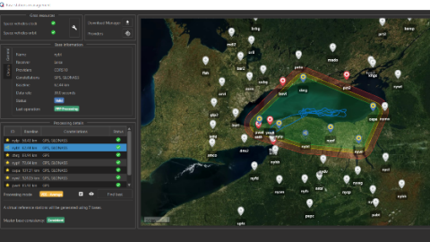
Virtual Base Station to survey with baseline up to 100 km
-
Technical specifications
-
Coverage
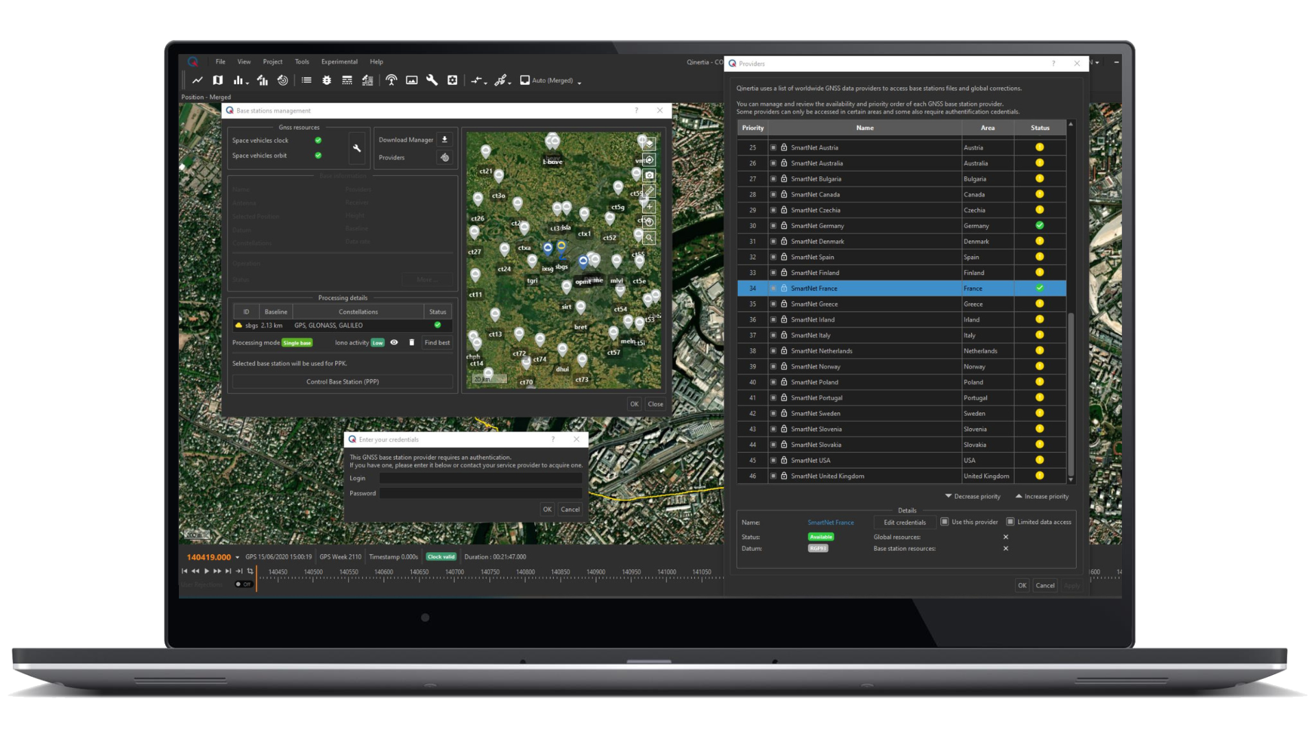
Qinertia gives access to offline RTK corrections from more than 12,000 base stations located in 164 countries - and always up-to-date.
-
Miscellaneous
-
Distinguishable features
Tight Coupling INS/GNSS fusion. + 7,000 Base Stations always up-to-date. Virtual Base Station. Open to all IMUs. Fastest Processing.
Typical applications
Qinertia has been designed to help surveyors get the most of their surveys with simplicity.
Subscription
Global
Documents
Brochure
SBG - Qinertia (MK013EN v4.0 2023.09).pdf
2.18 MB
Videos


