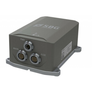
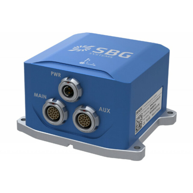
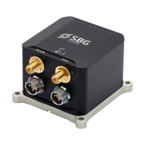
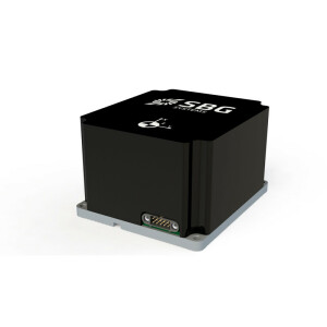
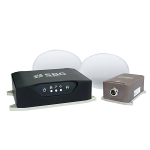
Ekinox-E
Externally aided INS
The Ekinox-E has been designed to connect up to 4 external aiding systems including DVL or DMI. This highly versatile inertial navigation system provides orientation, heave, and navigation data.

SBG Systems
Carrières-sur-Seine, FR
Description
Ekinox-E is an ITAR Free Inertial Navigation System which accepts aiding data from external equipment. It combines an Inertial Measurement Unit (IMU), runs an enhanced on-board Extended Kalman Filter (EKF) which fuses in real-time inertial data with aiding information for the best performance.
Do you have questions about this product?
- Questions about price, availability, and/or retailers
- Questions about technical specifications and usage
- Questions about suitability for your project or application
Specifications
-
Other specifications
-
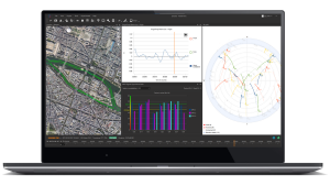
Graphical user interface
Y
Typical application
Data Georeferencing (SONAR, LiDAR, Camera), Ship Motion Monitoring, UAV positioning, ROV & AUV navigation, etc.
Distinguishable features
Ekinox-E provides roll, pitch, and heading at 200Hz. It accepts up to 4 external aiding to deliver position and further performance (GPS/GNSS, RTK, Odometer, DVL, USBL, Em Log, etc). If you already own aiding equipment, no need to invest again, just connect them to the Ekinox-E.
Export restrictions
No
-
Environmental
-
Non-operating shock tolerance [g]
500
Operating shock tolerance [g]
3
Max. rotation speed [deg/s]
300
Min. operating temperature [°C]
-40
Max. operating temperature [°C]
75
-
Software
-
Name
sbgCenter
Filtering
Y
Adaptable input signals
Y
Integrity monitoring of position input
Y
Maximum latency of position input [ms]
3
Uncertainty indicators given in output
Standard Deviation + Status Flags
Uncertainty of time stamp for output [ms]
0.0001
-
GNSS aided uncertainty
-
Heading [deg]
0.05
Pitch [deg]
0.02
Roll [deg]
0.02
Heave: constant part [m]
0.05
Heave: variable part [%]
5
Increase in position uncertainty w.r.t. stand-alone GPS [m]
1.2
-
General
-
Year of initial development
2012
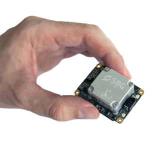
Height [m]
0.058
Width [m]
0.086
Length [m]
0.1
Weight [kg]
0.4
Min. Voltage (DC)
9
Max. Voltage (DC)
36
Power consumption [W]
3
Splashproof casting
Y
Water resistant casting
N
Mean time between failures [hr]
50000
Type of accelerometer
MEMS
Type of gyro
MEMS
Type of application
Air, Land, Marine
Height [mm]
58
Width [mm]
86
Length [mm]
100
-
Unaided uncertainty
-
Pitch [deg]
0.02
Roll [deg]
0.02
Heave [m]
0.05
-
Data formats
-
NMEA formats
GGA, RMC, HDT, ZDA
RTCM
Y
Other
TSS1
-
Inertial Measurement Unit
-
Accelerometer bias [µ-g]
2
gyro bias [deg/hr]
0.5
Calibration procedure
Dynamic calibration from -40 to 75°
Documents
Brochure
migrationrzrdgl.pdf
764.96 KB

Other documents
-
Sonar Motion Compensation & Data Georeferencing636.63 KB


