Eos Tools Pro
free GNSS monitoring application from Eos Positioning Systems
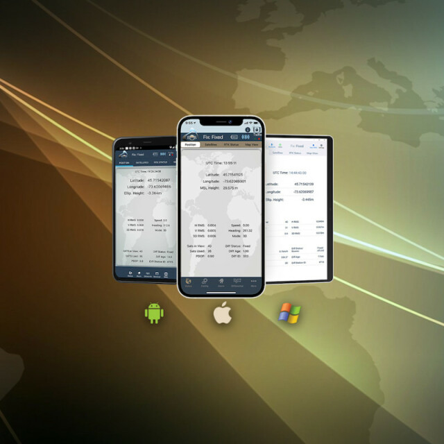
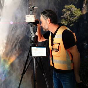
Eos Tools Pro is a free GNSS monitoring application from Eos Positioning Systems. Eos Tools Pro is compatible with Arrow Series® GNSS receivers and Eos solutions. With Eos Tools Pro, mobile workers can monitor GNSS metadata (e.g., PDOP, RMS, differential status, satellites tracked/used) in real time. Eos Tools Pro also enables connection to RTK networks and base stations through its built-in NTRIP client.

Eos Positioning Systems
Terrebonne, CA
Description
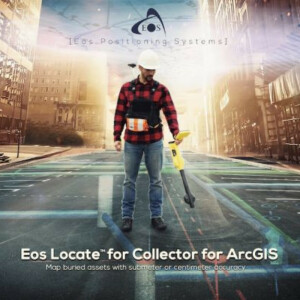
Eos Tools Pro is a free GNSS monitoring application from Eos Positioning Systems. Eos Tools Pro is compatible with Arrow Series® GNSS receivers and Eos solutions. With Eos Tools Pro, mobile workers can monitor GNSS metadata (e.g., PDOP, RMS, differential status, satellites tracked/used) in real time. Eos Tools Pro also enables connection to RTK networks and base stations through its built-in NTRIP client. In addition, Eos Tools Pro offers advanced features, such as configurable alarms and real-time GEOID height conversions. Eos Tools Pro is also the main app used in a number of Eos solutions, including Eos Locate™ and Eos Laser Mapping™, both for ArcGIS apps. Please note Eos Tools Pro does not collect data. For data-collection apps, we recommend a variety of partner apps.
Monitor GNSS Status
Monitor important GNSS metadata — such as estimated accuracy, differential fix status, PDOP, HDOP, and number of satellites tracked — for real-time QA/QC.
Stream RTK Locations
With its built-in NTRIP client, Eos Tools Pro lets you connect to any RTK network or base station and stream centimeter-level positions to your own data-collection app.
Set Alarm Thresholds
Audible and visual alarms notify you when a condition, such as a high estimated accuracy, falls outside acceptable thresholds.

Set Datum Shifts
Eos Tools Pro allows you to apply a real-time datum shift to your Arrow coordinates to match your map datum.
Calculate Orthometric Heights
Eos Tools Pro optionally outputs practical orthometric heights for you, by converting from ellipsoidal heights using regional GEOID models on the fly.
Set Antenna Height
If your data collection app has no provision to set an antenna height, Eos Tools Pro offers this possibility and streams accurate elevations directly to your map.
Do you have questions about this product?
- Questions about price, availability, and/or retailers
- Questions about technical specifications and usage
- Questions about suitability for your project or application
Specifications
-
General
-
Area of application
Processing type
-
Requirements
-
Operating System
-
Corrections base
-
Signal
-
Miscellaneous
-
Subscription


