
Trimble TerraFlex
Transforming the Way the World Works
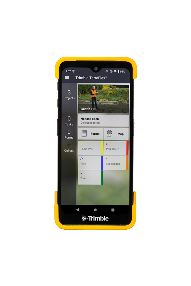
Trimble® TerraFlex® software is a flexible and easy-to-use cloud-based solution for field data collection. TerraFlex enables you to create a set of digital form templates so you can collect attribute rich and accurate geo-located GIS and asset information all in one workflow.

Trimble, Inc.
Westminster, US
Description
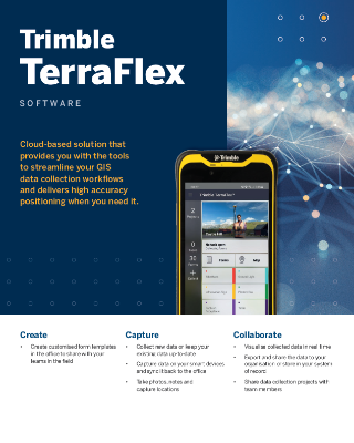
Trimble TerraFlex software provides you with the tools to streamline your GIS data collection workflows and delivers high-accuracy positioning when you need it. Featuring an intuitive interface that makes even elaborate field workflows simple to configure and execute, and director integration with Esri ArcGIS, with TerraFlex your entire organization becomes more efficient.
Do you have questions about this product?
- Questions about price, availability, and/or retailers
- Questions about technical specifications and usage
- Questions about suitability for your project or application
Specifications
-
Data management
-
Security options for access
Y
Search on file content
Y
Version management
Y
Spatial reference system
From data source, Selectable
-
Geometry types
-
Lines
Line segment
Points
Point
Surfaces
Polygon
Raster
Reference
-
Other
-
License or freeware
License
Training
Y
Main users
GIS field mapping crews, state and local municipal field crews, utlilty pole asset inspectors and maintenenance workers, gas line inspectors and installers, water utilities inspectors, forestry /environmental workers, construction planners and field crews.
Main applications
Fast, efficient, geospatial data collection and data update across a fleet of mixed mobile devices and platforms. Users can collect, process, update and manage data for integration into their systems.
Extensions
Extension for ArcGIS Desktop for project creation and data synchronization to geodatabase
Distinguishable features
Support of widest variety of mobile devices including Trimble handhelds, Android, iOS, and Windows tablets. Support of the widest array of possibilities for high accuracy GPS data collection including: VRS, SBAS/WAAS, RTX, and more. Flexible form creation and configuration. Flexible project management. User centric and device agnostic.
Related products
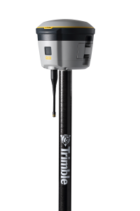
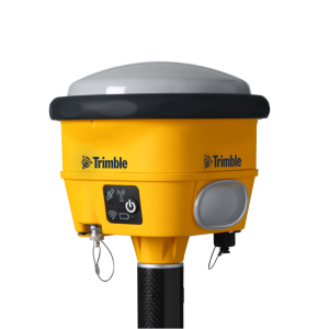
Trimble Catalyst DA2 receiver, Trimble TDC600 handheld, Trimble R2 receiver
-
2D Editing
-
Select
Spatial selection, Multiple select
Remove
By select, By layer
Graphic transformations
Coordinate transformations
Using Trimble's library of static and time-dependent coordinate transformations
-
2D Construction
-
Positioning by coördinates
Y
Positioning by snapping
N
Positioning in relation to other element
-
Storage
-
Type of data storage
Database, Private cloud
Input formats
Shape, Others, KML
Export formats
Shape, KML, Others
Compression
Y
-
Visualisation
-
Types
Change view
Zoomfactor
Thematic mapping
-
Interoperability
-
Web standards
None
Spatial database management systems
None
Messaging protocols
None
Publish standards
None
Extensions
none
Available API’s
Trimble TerraFlex REST API
Metadata
None
-
General
-
Year of introduction
2013
Year of last update
2023
Supported hardware
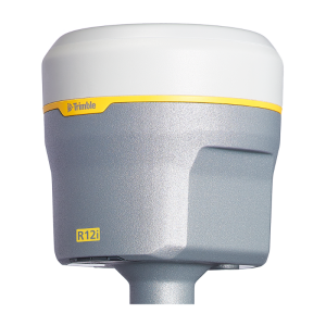
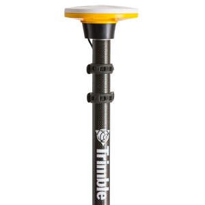
Trimble Catalyst DA2 receiver, Trimble R2 receiver, Trimble R10 Model 2 receiver, Trimble R12 & R12i receivers; Trimble TDC650 handheld, Trimble TDC600 handheld; Trimble T100 tablet, Trimble T7 tablet; iOS (12 or later) and Android (5 or later) devices
Supported operation system
Windows, Other
Main GIS category
Internet GIS, Mobile GIS
-
Data analysis
-
Merge
Buffer
Overlay operations
Documents
Brochure
links?dcs=Collection-108638
Other documents
-
Asset Locations - Removing the Guesswork5.95 MB
Videos


