
Allvision Asset Management Solutions
High-definition maps with best-in-class accuracy
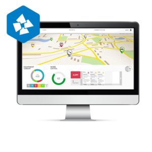
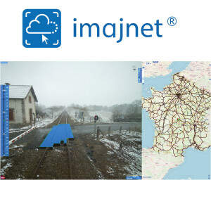
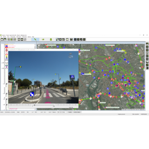
Allvision’s proprietary analysis software can automatically create high-definition maps for a variety of assets – from telephone poles to street lights to trash receptacles – with best-in-class accuracy and in any conditions. 360 degrees of detection provides insights as to where signage is located and what condition is it in, how many telephone poles are located in an area, or if vegetation is encroaching or affecting sign visibility or accessibility.
Description
Telecommunications agencies and cities are working together to bring 5G to life across the U.S. Ultimately, 5G will allow cities and other municipalities to operate more effectively and efficiently. With Allvision, sensors can notify public works departments when drains flood or street lights go out, and municipalities will be able to quickly and inexpensively install surveillance cameras. The placement of 5G network antennas requires precision location with knowledge of current assets, street furniture, terrain, and existing infrastructure. Allvision can automatically detect poles at a high 95%+ percentage accuracy rate. Our solutions are also able to scan an area for potential 5G antenna locations and provide a 3D digital map to accurately estimate and plan for future assets.
Specifications
-
Data management
-
Spatial reference system
-
Geometry types
-
Lines
Points
Surfaces
Raster
-
Other
-
License or freeware
-
2D Editing
-
Select
Remove
Graphic transformations
-
2D Construction
-
Positioning in relation to other element
-
Storage
-
Type of data storage
Input formats
Export formats
-
Visualisation
-
Types
Change view
Thematic mapping
-
Interoperability
-
Web standards
Spatial database management systems
Messaging protocols
Extensions
Metadata
-
General
-
Supported operation system
Main GIS category
-
Data analysis
-
Merge
Buffer
Overlay operations
