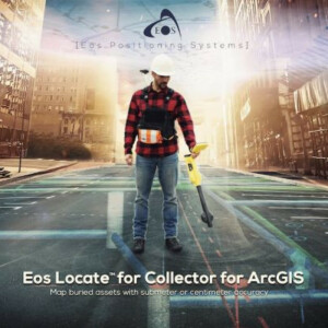
Map Buried Assets with Submeter or Centimeter Accuracy in ArcGIS Online
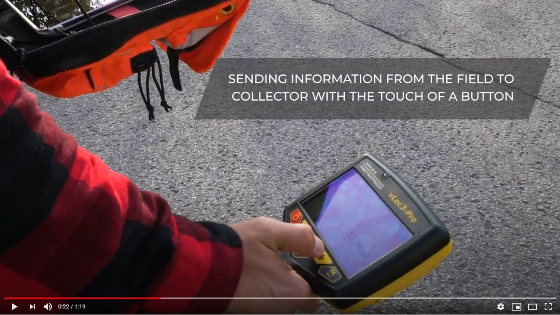
Eos Locate for Collector for ArcGIS is the world’s first real-time, high-accuracy, underground-mapping solution for utilities using Esri Collector. With Eos Locate for Collector, utilities can map their buried infrastructure (e.g., electric, gas, water, telecommunications infrastructure and more) with submeter or centimetre accuracy. All a field worker needs is an Eos Arrow GNSS receiver, Esri Collector, and a compatible locator device.
Introducing Eos Locate:
Map Buried Assets with Submeter or Centimeter Accuracy in ArcGIS Online
Do you have questions about this product video?
Get in touch with Eos Positioning Systems, and they would be happy to answer any questions you have about pricing, suitability, availability, specs, etc.


