![2024-04-11_RIEGL_Diamond_PR.jpg](https://cdn.geo-matching.com/PR0DrzVR.jpg?w=480&s=8f92fc7b9adca442e215fef53d200b02)
![geomatching-banner-1140x315px-ohne-text-v3.jpg](https://cdn.geo-matching.com/YRBrdwRO.jpg)
Showing 1-9 of 23 results
![2024-04-11_RIEGL_Diamond_PR.jpg](https://cdn.geo-matching.com/PR0DrzVR.jpg?w=480&s=8f92fc7b9adca442e215fef53d200b02)
![RiP-RISP-DEEPLS_v2.jpg](https://cdn.geo-matching.com/YRBKyx1n.jpg?w=480&s=867aff8bc5baf129c9d68dab1b0c1d2d)
New Software Updates: RIEGL’s Deep Learning Suite
![joanneum-research-s-digital-twin-lab-utilizes-riegl-lidar-technology-header.png](https://cdn.geo-matching.com/6py9Bxpj.png?w=480&s=172037e4b03097da4ac3b2f9552f7025)
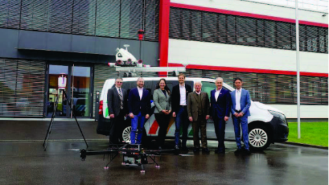
JOANNEUM RESEARCH's Digital Twin Lab utilizes RIEGL LiDAR Technology
![schiebelcamcopters-100-foto1.png](https://cdn.geo-matching.com/1o4mmeRG.png?w=480&s=986d45e4e3cd5661635b602065412ffe)
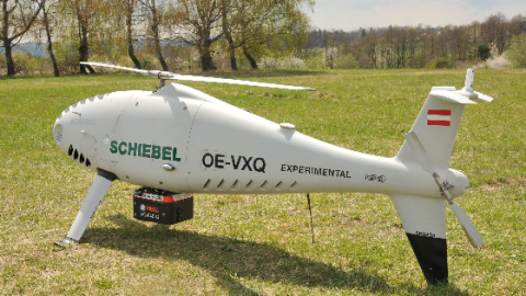
Successful integration of the RIEGL VQ-840-G topo-Bathymetric laser scanner into the Schiebel CAMCOPTER® S-100 UAS
![riegl-expands-fleet-with-da62-surveystar-manned-survey-aircraft-1.png](https://cdn.geo-matching.com/WRZzzQRL.png?w=480&s=06b86296ba49e303adc0915e227dcf2c)
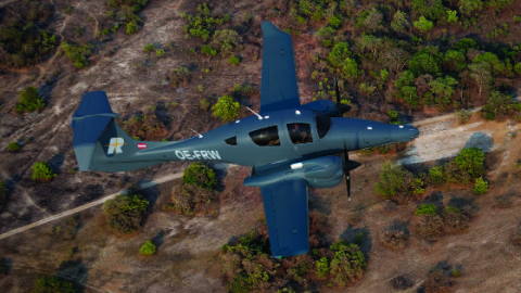
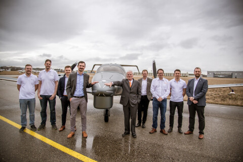
RIEGL Expands Fleet With DA62 Surveystar Manned Survey Aircraft
![figure2.png](https://cdn.geo-matching.com/PoE8Ebp9.png?w=480&s=b9a5af5bda680239aabc39ac323aba09)
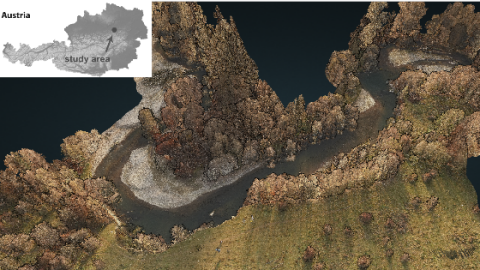
Underwater Deadwood and Vegetation from UAV-borne Topobathymetric Lidar
![figure-1.png](https://cdn.geo-matching.com/LnL8JLnj.png?w=480&s=b94789815a650d1c8733b159f0b29253)
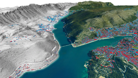
Mapping Dubrovnik and Split with Integrated Airborne Sensor Systems
![riegl-vux-120-uav-lidar-sensor-wins-the-wichmann-innovations-award-2021.jpg](https://cdn.geo-matching.com/LnL8Adnj.jpg?w=480&s=c14d045b4ca8c218da1a9075491fbf12)
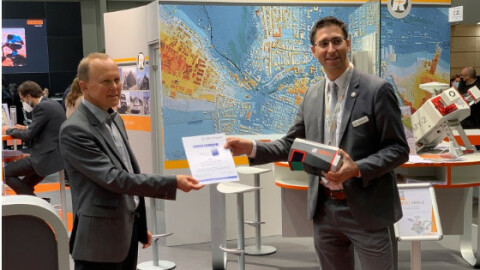
RIEGL VUX-120 UAV Lidar Sensor Wins the Wichmann Innovations Award 2021
![rusa-ricast-logo-full-0.png](https://cdn.geo-matching.com/dog6YvpZ.png?w=480&s=0be49fb66a375f2d03cb8b1f13f623d0)