![hqdefault (1156).jpg](https://cdn.geo-matching.com/voaWXmnK.jpg?w=300&s=6174160f9735a8e2c251ec00d2294495)
![linkedinpersonalcover-cs.png](https://cdn.geo-matching.com/LnLZ2doj.png)
Showing 1-7 of 7 results
![hqdefault (1156).jpg](https://cdn.geo-matching.com/voaWXmnK.jpg?w=300&s=6174160f9735a8e2c251ec00d2294495)
![hqdefault (1162).jpg](https://cdn.geo-matching.com/dogDX7RZ.jpg?w=300&s=a34811cb4a545f13173d1e63d19826c9)
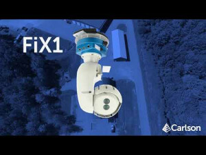
Carlson FiX1 | Fixed Installation Scanner for Automated Volumetric Stockpile Monitoring
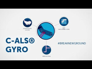
![hqdefault (1160).jpg](https://cdn.geo-matching.com/PoEaXMo9.jpg?w=300&s=fb5b5186c1f4e11137be68f89cdfd8d5)
Carlson C-ALSĀ® Gyro | Underground Laser Cavity Monitoring System
![hqdefault (1161).jpg](https://cdn.geo-matching.com/yRQeXgRJ.jpg?w=300&s=4172643c3c54dfaf90d797544ce0979f)
Scanning Underground Cavities | C-ALS Gyro
![hqdefault (1157).jpg](https://cdn.geo-matching.com/4p7w3Xpy.jpg?w=300&s=539e39d2ab7fb912b4c1e8a9494b298e)
Getting Started with Carlson PhotoCapture | #mappingwithdrones #photogrammetry #dronesurveying
![hqdefault (1158).jpg](https://cdn.geo-matching.com/ZprBPjpL.jpg?w=300&s=e371b973267fff0588a7f1e88f295df9)
Drones to Surfaces and Volumes with Carlson | PhotoCapture for Mining
![hqdefault (1159).jpg](https://cdn.geo-matching.com/LnLqX7pj.jpg?w=300&s=16ee3feecab62bf6d34e9590d685d562)