Join 40,000+ geospatial professionals and get technology news delivered straight to your inbox every week. Subscribe today.

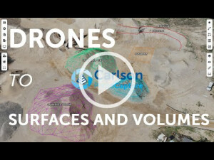
Getting Started with Carlson PhotoCapture | #mappingwithdrones #photogrammetry #dronesurveying

Carlson Software 1 view
Check out this less than 5-minute tutorial on Carlson's drone surveying and drone mapping software, Carlson PhotoCapture. PhotoCapture allows you to perform topographic surveys from anywhere. All you need is an internet connection. Upload your photos, ground control points, and process your data in the same place. The finished product is an orthoimage that you can share with your team, clients, or anyone else just by sending them a link. You can also download the data just as easily.

Related articles

Ask a question

We are happy to assist.

Daniƫl Haanskorf Peter Tapken Sjors Kloosterman

We're available on all weekdays and usually reply within 1-2 working days.

Please provide detailed information.

Let us know a little about you and your contact information.

Do you represent a company or organization?

Before we proceed, would you be interested in subscribing to our newsletter?

By completing this form, you acknowledge and agree to abide by our Terms and Conditions, Privacy Policy and Cookie Policy.

Thank you for your message! Our team tipically to respond to inquiries within 1-2 business days.