


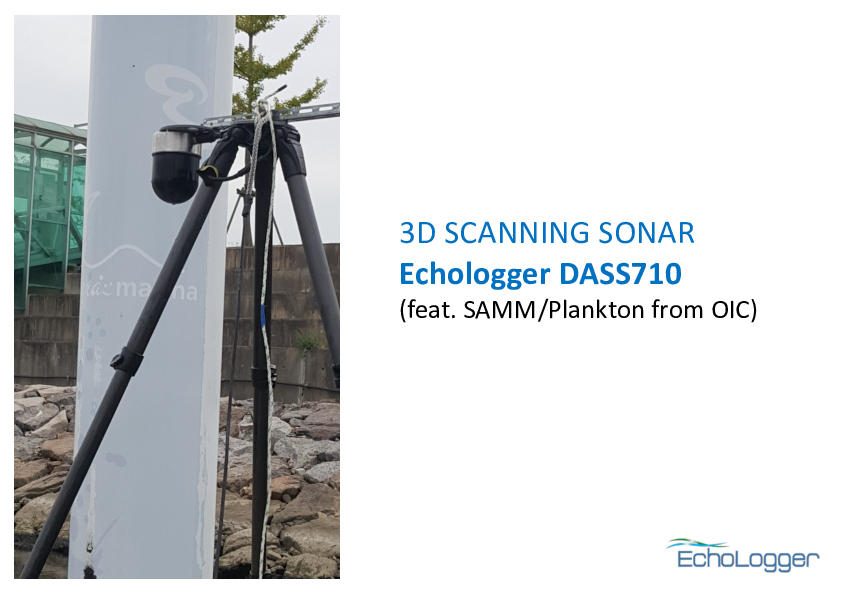
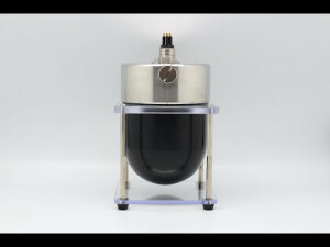
DASS710
Ultra compact 3D scanning sonar
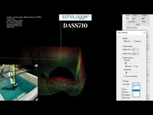
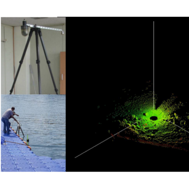
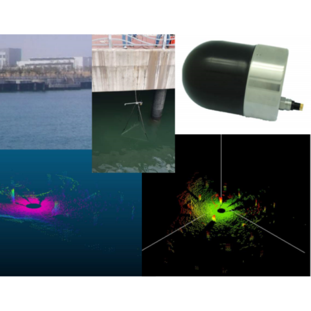
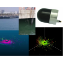
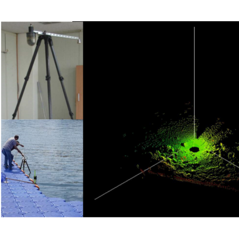
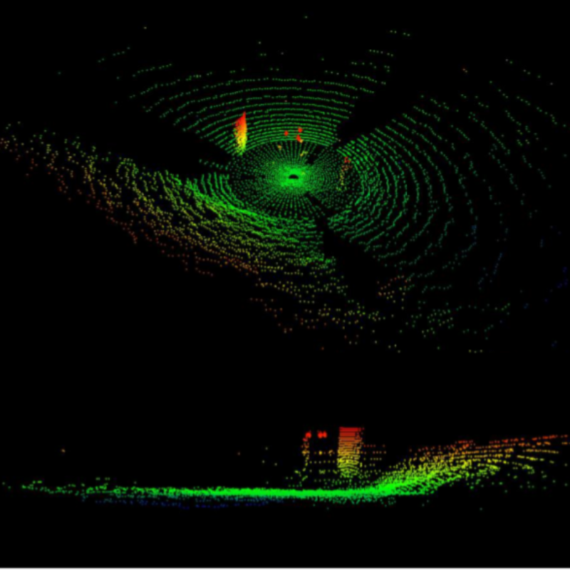
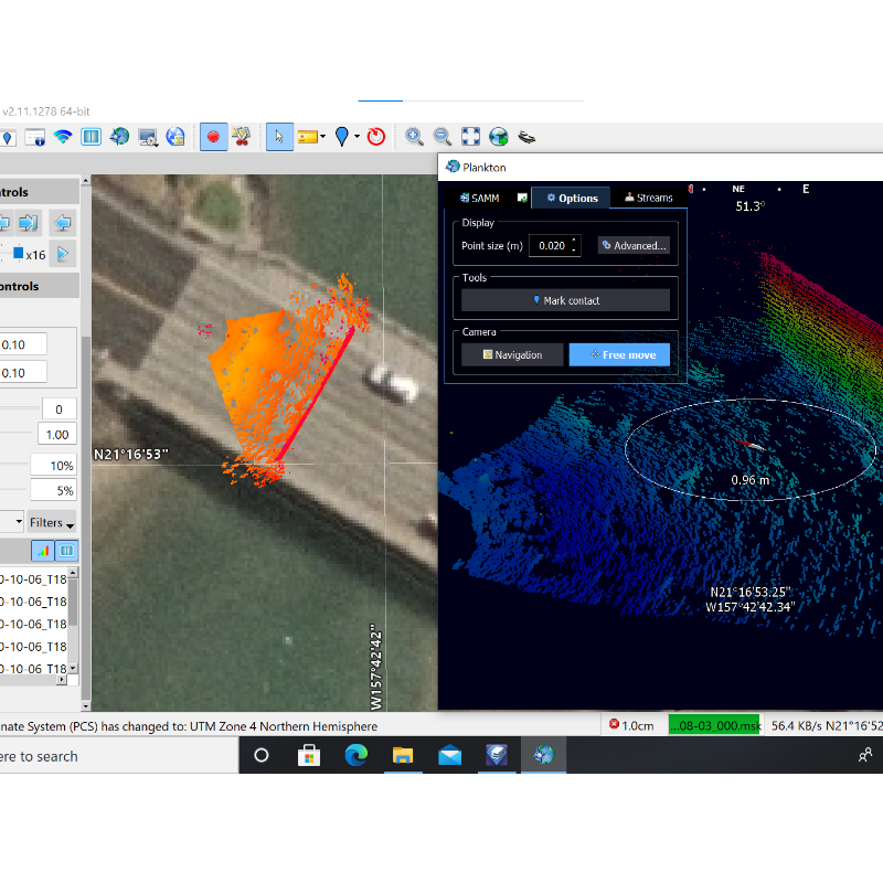
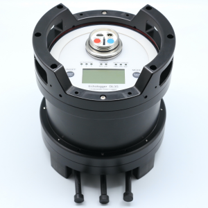
Dual Axis Scanning SONAR, DASS is a real-time 3D imaging sonar which can be deployed in stand-alone mode or daisy chain mode using an RS-485 network. The 3D point clouds produced by DASS are of very high resolution and come from a high-frequency sharp pencil beam composite transducer, which is very useful for studying the dynamics of sediment scour and aggregation, and monitoring underwater structures.

EchoLogger
Goyang-Si, KR
Description
Dual Axis Scanning SONAR, DASS is realtime 3D imaging sonar and can be deployed stand alone mode or daisy chain mode using RS-485 network. The 3D point clouds produced by DASS is very high resolution from a high frequency sharp pencil beam composite transducer, which is very useful for studying the dynamics of sediment scour and aggregation and monitoring underwater structures. The DASS outputs X, Y, Z cloud points compatible with various commercial and open source software packages including EIVA NaviSuite and Cloud Compare. It can also output intensity and backstcatter data along with point clouds.
Features
• Realtime 3D scanning imaging sonar
• Very high resolution with a high frequency sharp pencil
beam composite transducer
• High scanning resolution and scanning speed
• Optimised for SCOUR monitoring of bridges, wind
turbines and underwater structures
• 3D point cloud feature
• Ultra compact
• Easy to operate
• Affordable price
Do you have questions about this product?
- Questions about price, availability, and/or retailers
- Questions about technical specifications and usage
- Questions about suitability for your project or application
Specifications
-
Sonar Details
-
Max. depth [m]
300
Min. frequency [kHz]
750
Max. frequency [kHz]
1000
Typical range [m]
25-50
Max. horizontal beam width [deg]
1
Min. DC power [V]
10
Max. DC power [V]
36
Horizontal Scanning Sector
360°
Vertical Scanning Sector
200° (±100°)
Altitude Range Resolution
1.0 mm
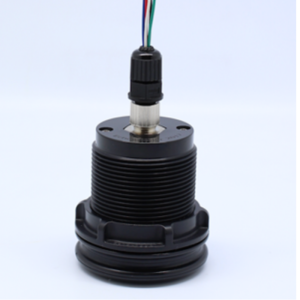
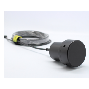
Dimensions
Ø110 x H150 mm
Housing Material
SS and Acetal
Max. update rate [Hz]
10
Range resolution [cm]
7.5
-
Interface and Communication
-
Communication
4,800 ~ 921,600 baud (115,200 baud default)
-
Data Processing
-
Interface options
RS-232, RS-485
-
Other specifications
-
Carrier options
Connector options
MCBH8MSS
-
Environment
-
Operating temperature: min. [°C]
-10
Operating temperature: max. [°C]
50
Documents
Brochure
hawaii-bridge-inspection-oct-2020-comp.pdf
2.98 MB
Other documents
-
3D imaging sonar DASS710 Brochure2.19 MB
-
3D imaging sonar DASS710 Introduction1.01 MB
-
3D imaging sonar DASS710 at a bridge in Hawaii2.98 MB
-
3D imaging sonar DASS710 in a very small tank1.61 MB
-
3D imaging sonar DASS710 field test - Dalbang dam (Korea)5.89 MB

