Photogrammetry: From Movies to Software Solutions
Many people ask us about photogrammetry and what it really means. Simply put, photogrammetry is the science of making measurements from photographs. It is the science and technology of generating 3D information from 2D measurements. Today the rapid evolution of digital cameras and computer capabilities, analytical software and data storage has expanded the variety of situations in which photogrammetry can be applied and processed.
Variety of photogrammetry
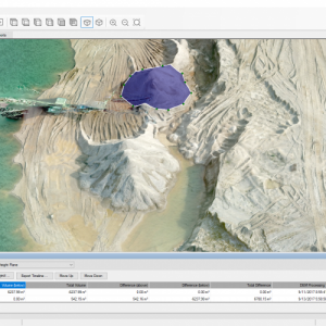
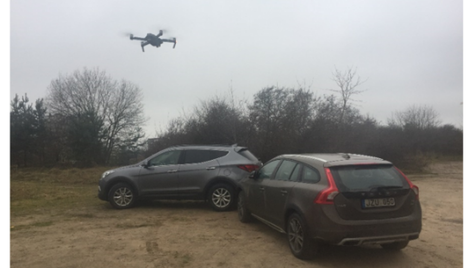
We have aerial photogrammetry, where a camera is mounted in an aircraft and is usually pointed vertically towards the ground. Multiple overlapping photos of the ground are taken as the aircraft flies along a flight path. There is also close-range photogrammetry– the camera is close to the subject and is typically hand-held or on a tripod (can be on a vehicle too). Everyday cameras are used to model and measure buildings, engineering structures, forensic and accident scenes, mines, stockpiles, archaeological artifacts, film sets, etc.
Photogrammetry isn’t a science used exclusively by software engineers and surveyors. You’d probably be surprised at how often you encounter photogrammetry in your own everyday life.
Photogrammetry in film and entertainment
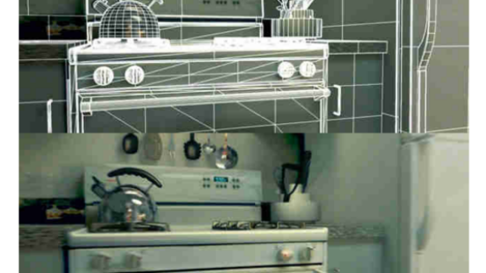
Many film producers use photogrammetry to create a 3D model of the set in a computer before they even begin shooting a movie or commercial. For example, the movie “Fight Club” (1999) was one of the first to use photogrammetry in filmmaking, that was used in the ‘kitchen explosion’ scene.

You may also have seen the recent Nissan Ghost Train commercial, in which photogrammetry was used for environmental surveying and modeling around the car’s path.

Traffic & crash scenes
If you have ever been frustrated on the road wondering why traffic is stopped by police after an accident, it is usually because law enforcement is using photogrammetry to document traffic enforcement and crash-scene mapping. Pictures taken of the automobiles involved in a crash can be analyzed to determine the extent of the damage. Damage reconstruction and mapping the area is used in forensics and crime scene investigation modeling.
Of course, lawyers are often involved after an accident. There is also documentation and advice for attorneys on how to choose a photogrammetry expert to help win court cases.

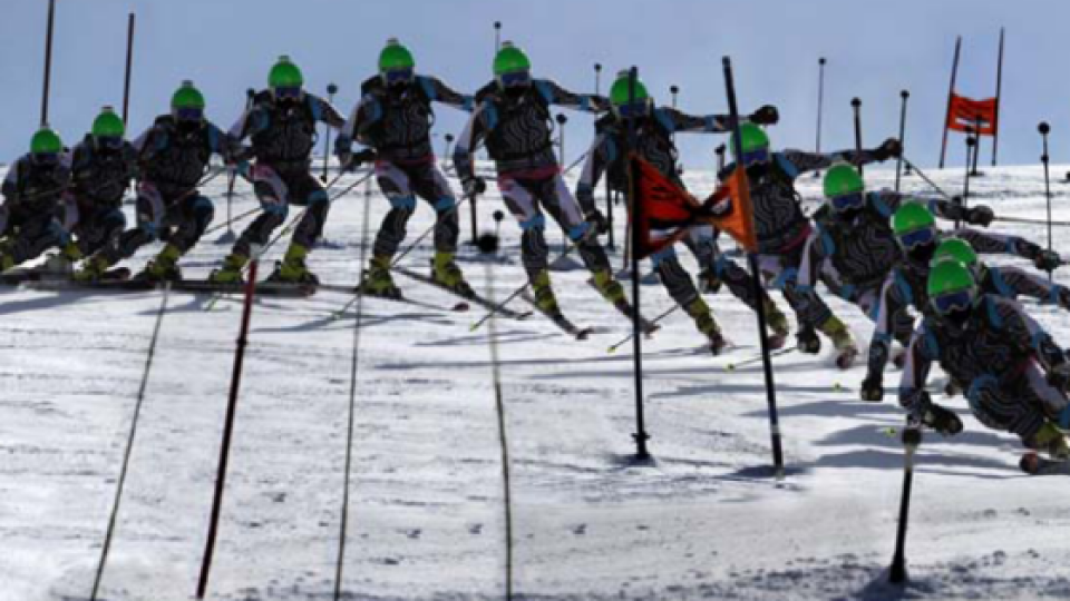
Photogrammetry in sports
Want to improve your sports performance? Close range photogrammetry has been captured for the development of a virtual training system for rugby football, by tracking the movement of body segments, such as the angle of shoulder orientation and the trunk flexion of the thrower.
Team sports such US soccer, indoor soccer, handball, basketball and individual sports such as tennis, benefit from photogrammetry with the aim of quantifying players movements. This assists in deducing the physical loads on players in real conditions for coaches.
If you are a mountain climber or a casual hiker, you have probably benefitted from using topographic maps. Photogrammetry has been the science behind the creation of almost every topographic map made since the 1930’s. Today’s topographic maps are prepared using photogrammetric interpretation of aerial photography, LIDAR and other remote sensing techniques.

Summary
For more than a century after photogrammetry’s invention, there is still plenty of room for improvement and innovation. The mentioned examples are just a small glimpse into current imaging possibilities and business applications.
For us at Pixpro, photogrammetry is very important. We develop cutting-edge software solutions based on photogrammetry and computer vision to facilitate the daily work in mining, mapping, inspection, architecture, geodesy and other industries.
Do you have questions about this article?
Get in touch with Pixpro Ltd, and they would be happy to answer any questions you have about pricing, suitability, availability, specs, etc.

Related products


