
Improve Pointcloud Accuracy With the New OxTS Georeferencer anyNAV Feature
Thu, Apr 6, 2023 at 1:30 PM (UTC)
1 hour
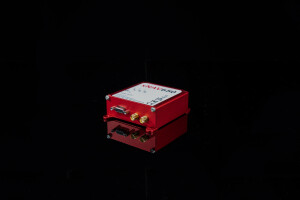
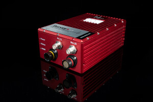
Lidar surveyors across the world use OxTS Georeferencer to georeference their Lidar data. But did you know you can also use it to improve the accuracy of your point clouds – without needing to replace your existing sensors! OxTS Product Manager, Jamie Birch, will be joined by Associate Product Manager, Jonathan Deacon, to discuss how OxTS
Georeferencer and the Boresight Calibration tool can be used alongside new and existing payloads to enhance the quality of your final output.

By joining the webinar, you will learn more about:
- The new anyNAV feature, including how it can be used alongside third-party INS devices to georeference and boresight Lidar data
- How you can take advantage of a simple data-driven sensor calibration method to increase the accuracy of your point clouds – all whilst continuing to use the existing devices on your payload
- How Australian geospatial innovation company Klau Geomatics used OxTS Georeferencer to bring their own payload up to a functional level
The webinar is free to attend and a copy of the recording will be sent out to everybody who registers after the event.
