High-Resolution Aerial Thermography / November 2024
Tue, Nov 5, 2024 at 10:00 AM (UTC)
1 hour
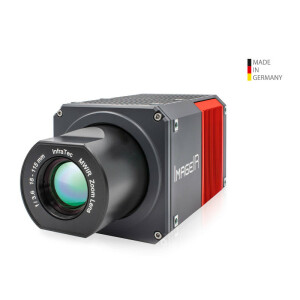
By utilizing a helicopter equipped with a thermal camera, gimbal-supported aerial thermography gets a third dimension through infrared. From an elevated position an infrared camera can visualise a large thermographic overview for a variety of applications. Depending on the actual mission plan fixed wing aircraft can provide further options for those applications as well, of course.
Time: 10:00 – 12:00 CET
Language: English
- Aerial thermography: Definition, benefits, types, presence and future
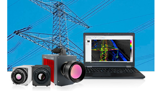
- Applications for thermography in airborne remote sensing
- Challenges of aerial thermography
- Technical requirements for an IR camera system
- Comparing cooled and uncooled camera systems
- Important and relevant selection criteria
- Accessories (hardware and software) needed to solve the measurement task

Related products