DJI Intergeo (Digital) Event: Best Projects Using Drones for Photogrammetry and Lidar
Tue, Sep 21, 2021 at 3:40 PM (UTC)
1 hour
Discover the different drone solutions used and tactics applied to produce reliable geodetic maps.

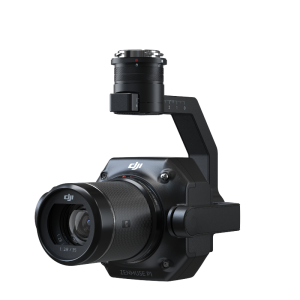
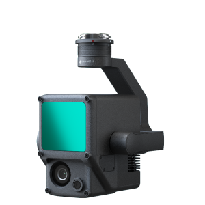
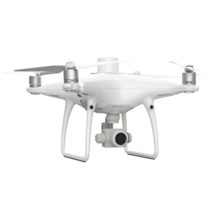
Photogrammetry and LiDAR are the most common types of drone surveying. Learn about some of the best projects from all over the world. Moreover, discover the different drone solutions used and tactics applied to produce reliable geodetic maps. Within drone surveying, photogrammetry and LiDAR are the most common techniques. Learn about some of the best drone surveying projects from all over the world. Moreover, discover the drone solutions and workflows used to produce reliable geodetic maps.
Speaker: Mr. Simba Wang, DJI GmbH, Director of Geospatial Business and Solutions
Link to the digital event: Click here
Come and visit DJI ENTERPRISE at INTERGEO 2021: GET YOUR FREE TICKET!
