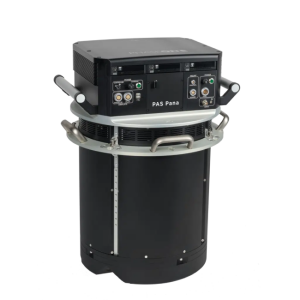

PAS Pana - The most productive wide-area camera solution for aerial mapping | Phase One
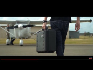
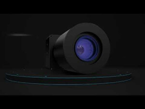
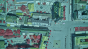
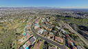
PAS Pana is a mapping system designed to provide effective performance in country-wide area mapping. Its large swath of 48,800 pixels allows to capture country-wide areas while keeping flying lines, hence flying time at the minimum.
Products featured in this video
More from "Phase One A/S"