Join 40,000+ geospatial professionals and get technology news delivered straight to your inbox every week. Subscribe today.

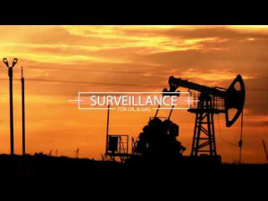
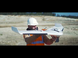
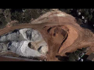
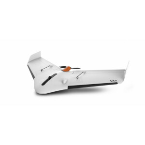
Mapping and surveying with a user-friendly professional drone

Delair 0 views
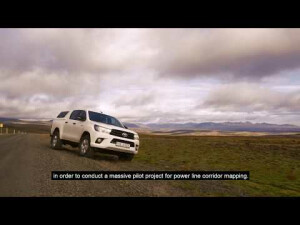
Don't wait anymore to boost your mapping and surveying capabilities. Experience the easy and seamless workflow as well as the survey-grade performances of the Delair UX11, the the best-in-class professional mapping fixed-wings drone designed and manufactured in Europe by Delair. Getting set up out in the field with the Delair UX11 is easy.

Products featured in this video

Ask a question

We are happy to assist.

Daniƫl Haanskorf Peter Tapken Sjors Kloosterman

We're available on all weekdays and usually reply within 1-2 working days.

Please provide detailed information.

Let us know a little about you and your contact information.

Do you represent a company or organization?

Before we proceed, would you be interested in subscribing to our newsletter?

By completing this form, you acknowledge and agree to abide by our Terms and Conditions, Privacy Policy and Cookie Policy.

Thank you for your message! Our team tipically to respond to inquiries within 1-2 business days.