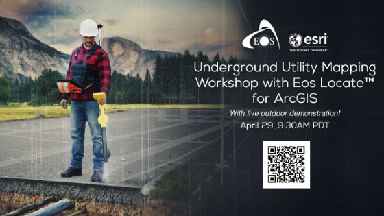
Underground Utility Mapping Workshop with Eos Locate™ for ArcGIS Field Maps (with live outdoor demonstration)
Thu, Apr 29, 2021 at 6:30 PM (UTC)
1 hour
Join Eos Positioning Systems and Esri for a high-accuracy underground utility mapping workshop on April 29.
In this free, exclusive training workshop, you’ll have the opportunity to:
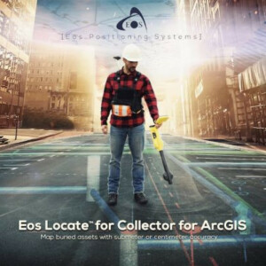
1. Learn about the new free, high-accuracy underground-mapping solution from partners Eos and Esri: Eos Locate™ for ArcGIS apps
2. Explore how to improve the spatial accuracy of your entire network — by ensuring that the location data for existing buried infrastructure is (finally) just as good as that of newly installed assets
3. Receive hands-on training in the software and hardware components required to map underground utilities directly into your Esri GIS
4. Participate in a live outdoor data-collection demonstration during which we map an underground utility in real-time
This workshop will cover the following hardware and software technologies:
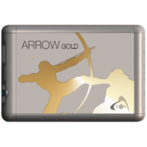
- Eos Arrow Gold GNSS receiver
- ArcGIS Field Maps
- ArcGIS Online/Pro
- Compatible utility locator models (e.g. Subsite, Radiodetection, Vivax-Metrotech)
The multi-part workshop will be divided into several sections (subject to change):
1. Foundational overview of GNSS/GPS and locator devices
2. Foundational overview of ArcGIS Field Maps
3. Live web-map configuration using ArcGIS Online/Pro (Short Break)
4. Live outdoor data collection demonstration (mapping an underground utility in real-time)
5. Discussion of real-world value from improving the spatial accuracy of entire utility networks
6. Q&A panel discussion with experts from Eos and Esri