
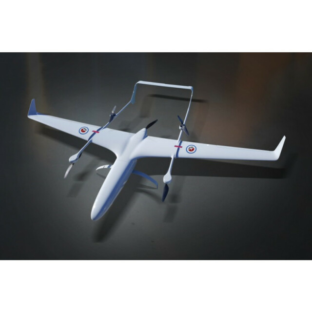
Description
Specifications
-
Environment
-
Min. operation temperature [°C]
0
Max. operation temperature [°C]
50
Max. wind speed [m/sec]
18
Max. humidity [%]
65
-
Imaging/scanning devices
-
Onboard imaging/scanning devices
RGB Camera, Lidar, Additional sensors, Gimbal, NIR Camera, SWIR Camera
Additional Sensors and additional information
Sensors can be customised for different missions. Customer to advise on options.
-
Platform
-
Platform
Aircraft
Brand
Carbonix
Max. payload [kg]
2
Max. stay in the air [min]
120
Max. speed [km/h]
150
Max. height above sea level [m]
2000
Propulsion
Electric
-
Accessories
-
Transportation accessories
Transport box 160cm x 120cx x 40cm
Included batteries and charger
4 x LiPo and charger
More included products and spare parts
Spare tailbooms, wings and nose cone, plus in field repair kit
-
Operation Characteristics and Safety
-
Min. ø of launch/landing site [m]
5
Launching method
VTOL
Automatic launch and landing
Y
Training provided
Y
Collision avoidance systems (CAS)
Y
Autonomous emergency landing
Y
-
Dimensions
-
ø / wingspan [cm]
2.7
Height [cm]
10
Weight [kg]
8
Weight of battery [kg]
3
Weight of filled fuel tank [kg]
3
Number of rotors
4
Transport on human back
N
-
Base Station
-
Ground computer included
Y
Type of Ground computer
Dell computer
Sensor control
Y
Real time image and video download link
Y
-
Navigation Sensors
-
Type of GNSS receiver and captured signals
DGPS FlightPak from CloudCap Technology
Correction services [PPK, RTK]
PPK, RTK, FPV
-
General
-
Year of last update
2017
Typical applications
drone, surveillance, 3D mapping, LIDAR
-
Included software and automatically generated
-
Type of software included
Flight planning, Photogrammetric software, Point cloud processing software
Flight planning software
AeroCommand
Photogrammetric software
Bentley Systems
Point cloud processing software
Bentley Systems
Automatically Generated Products
3D City Models, Point Clouds, 3D Landscape Models, DEMs, DTMs, Orthomosaics, NDVI maps


