
Description
Specifications
-
Environment
-
Min. operation temperature [°C]
-10
Max. operation temperature [°C]
40
Max. wind speed [m/sec]
20
Max. humidity [%]
80
-
Imaging/scanning devices
-
Onboard imaging/scanning devices
RGB Camera, Additional sensors, Gimbal, NIR Camera, SWIR Camera
Type of Camera
Thermal, 4K Video, 24MP Still, NIR, Multispectral
Additional Sensors and additional information
Thermal Imaging camera (Gimballed or non gimballed available), 24MP Still imaging sensor, Rededge and NIR multispectral imaging available. 4K video available.
Build-in Stablilsation
Y
Exchangeable
Y
Sensor tilting to allow oblique views
Y
-
Platform
-
Platform
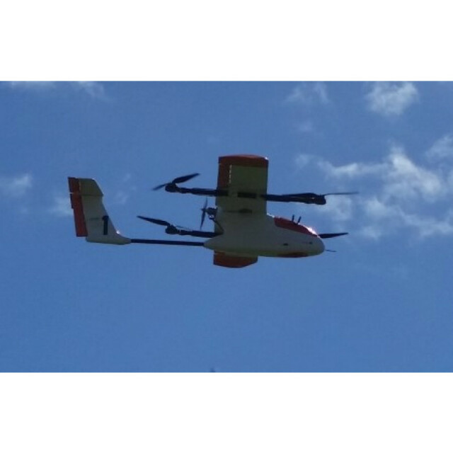
Aircraft
Brand
V-TOL Aerospace Goshawk Hybrid
Max. payload [kg]
1
Max. stay in the air [min]
150
Max. speed [km/h]
70
Max. height above sea level [m]
2000
Propulsion
Electric
-
Accessories
-
Transportation accessories
Pelican transportation cases available.
Included batteries and charger
Batteries and Chargers included
More included products and spare parts
Full maintenance and charging kit included. Ground Control Station and video equipment supplied.
-
Operation Characteristics and Safety
-
Min. ø of launch/landing site [m]
100
Launching method
Autonomous Hand Launch
Automatic launch and landing
Y
Training provided
Y
Collision avoidance systems (CAS)
Y
Autonomous emergency landing
Y
-
Dimensions
-
ø / wingspan [cm]
1800
Height [cm]
40
Weight [kg]
5
Weight of battery [kg]
1.5
Number of rotors
5
Transport on human back
N
-
Base Station
-
Ground computer included
Y
Type of Ground computer
Toughbook
Sensor control
Y
Real time image and video download link
N
-
Navigation Sensors
-
Type of GNSS receiver and captured signals
L1/L2 band
Correction services [PPK, RTK]
PPK and RTK
-
General
-
Year of last update
2017
Typical applications
Broad acre mapping
-
Included software and automatically generated
-
Type of software included
Flight planning, Photogrammetric software, Point cloud processing software
Flight planning software
Neuron (Custom Program)
Photogrammetric software
Agisoft/ Pix4D/ Bentley
Automatically Generated Products
3D City Models, Point Clouds, 3D Landscape Models, DEMs, DTMs, Orthomosaics, NDVI maps


