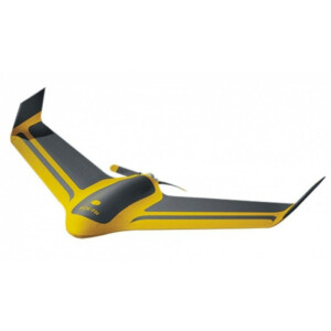
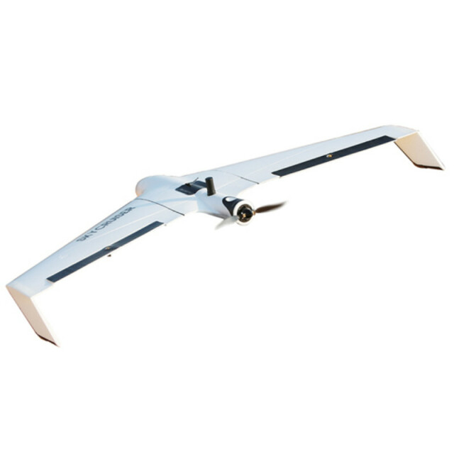
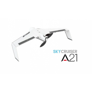
SkyCruiser A22 Plus
Professional-level drone made for survey-grade mapping applications
SOUTH Surveying & Mapping
Guangzhou, CN
Description
SkyCruiser A22 is one of the fixed wing drones produced by SOUTH SURVEY, which is particularly designed for surveyors without any aerial survey experience. Easy launch by hand, stable, reliable and highly efficient, compared with the traditional surveying methods. All features make it suitable for 1:1000, 1:2000 aerial mapping projects within 300 square kilometers.
Specifications
-
Environment
-
Min. operation temperature [°C]
-10
Max. operation temperature [°C]
45
Max. wind speed [m/sec]
10
Max. humidity [%]
90
-
Imaging/scanning devices
-
Onboard imaging/scanning devices
RGB Camera
Type of Camera
Sony ILCE-QX1
-
Platform
-
Platform
Fixed-wing
Brand
South
Max. stay in the air [min]
85
Max. speed [km/h]
72
Max. height above sea level [m]
4000
Propulsion
electric pusher motor, 12-inch foldable propeller
-
Accessories
-
Transportation accessories
soft carrying case, hard transportation box
Included batteries and charger
Y
-
Operation Characteristics and Safety
-
Min. ø of launch/landing site [m]
20
Launching method
Hand launch/automatic
Automatic launch and landing
Y
Autonomous emergency landing
Y
-
Dimensions
-
ø / wingspan [cm]
150
Height [cm]
13
Weight [kg]
1.55
Number of rotors
1
Transport on human back
Y
-
Navigation Sensors
-
Type of GNSS receiver and captured signals
GPS/Glonass/BeiDou/Galileo L1/L2
Other sensors and additional information
Autopilot computer, airspeedmeter, accelerometer, barometer, magnetometer, gyroscope
Correction services [PPK, RTK]
RTK/PPK
-
General
-
Typical applications
Large area mapping, mining, topographic surveying, disaster relief & analysis, vegetation health survey
-
Included software and automatically generated
-
Type of software included
Flight planning
Flight planning software
Y
Photogrammetric software
Y
Point cloud processing software
Y
Automatically Generated Products
DEMs
Additional information on software or automatically generated products
Other output products: DSM, Point Cloud, Orthomosaic


