
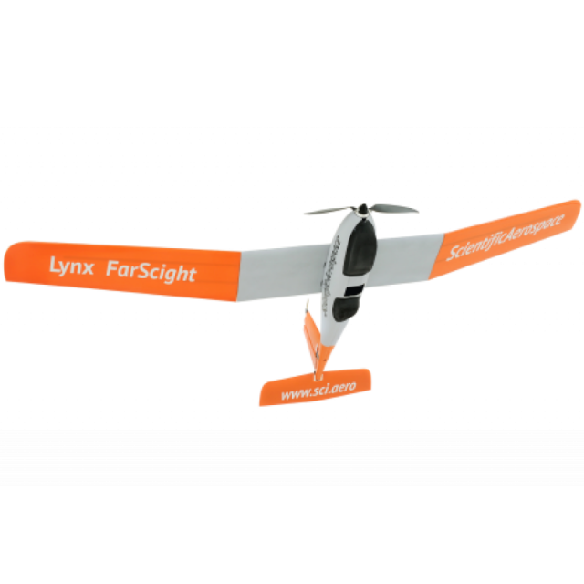
Description
Specifications
-
Environment
-
Min. operation temperature [°C]
0
Max. operation temperature [°C]
40
Max. wind speed [m/sec]
13
Max. humidity [%]
100
-
Imaging/scanning devices
-
Onboard imaging/scanning devices
RGB Camera, Additional sensors, NIR Camera
Type of Camera
Sony 24MP APS-C with Interchangable Lens
Additional Sensors and additional information
Sony a6000 24MP APS-C with Interchangable Lens.High Quality Fixed Focus 21 mm lens provided for accurate surveying results without ground control points.Optional MicaSense RedEdge or Sony A7R
Build-in Stablilsation
N
Exchangeable
Y
Sensor tilting to allow oblique views
N
-
Platform
-
Platform
Aircraft
Brand
ScientificAerospace
Max. payload [kg]
1
Max. stay in the air [min]
180
Max. speed [km/h]
60
Max. height above sea level [m]
120
Propulsion
Electric
-
Accessories
-
Transportation accessories
Pelican 1740 aircraft case - (112.1 x 40.9 x 35.5 cm)Pelican Air 1535 support case - (55.7 x 30.4 x 22.8 cm)
Included batteries and charger
2x dual battery packs and dual charger
More included products and spare parts
Includes tools and spare parts, such as sacrificial clips and propeller blades.
-
Operation Characteristics and Safety
-
Min. ø of launch/landing site [m]
10
Launching method
Hand Launch, Deep Stall Landing
Automatic launch and landing
Y
Training provided
Y
Collision avoidance systems (CAS)
N
Autonomous emergency landing
Y
-
Dimensions
-
ø / wingspan [cm]
230
Height [cm]
37
Weight [kg]
2.7
Weight of battery [kg]
1000
Number of rotors
4
Transport on human back
N
-
Base Station
-
Ground computer included
N
Type of Ground computer
Recommend Rugged Windows Tablet
Sensor control
Y
Real time image and video download link
N
-
Navigation Sensors
-
Type of GNSS receiver and captured signals
GPS, GLONASS, SBAS, GALILEO, QZSS, L1/L2
Type of IMU
Triple Axis Gyroscope, Accelerometer, Magnetometer
Other sensors and additional information
Mission Planning and PPK Post Processing Software provided
Correction services [PPK, RTK]
PPK
-
General
-
Year of last update
2017
Typical applications
Agriculture Ecology Environment Mining Pit Survey
-
Included software and automatically generated
-
Type of software included
Block adjustment, Flight planning, Photogrammetric software, Point cloud processing software
Flight planning software
Swift GCS
Photogrammetric software
Pix4D, Agisoft or Context Capture
Point cloud processing software
Pix4D, Agisoft or Context Capture
Automatically Generated Products
3D City Models, Point Clouds, 3D Landscape Models, DEMs, DTMs, Orthomosaics, NDVI maps


