
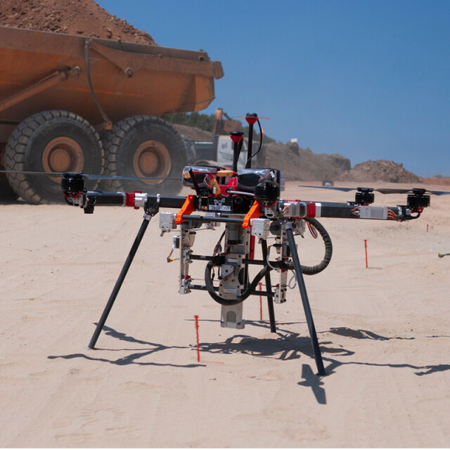
CivDrone
Autonomous construction layout
CivDrone is smart, fast and reliable construction layout solution. CivDrone marks up to 500 points a day with cm level accuracy thanks to advanced onboard RTK. CivDrone is ideal for large construction projects which require hundreds of markings every day - road, rail, solar farm, pipeline, utilities and ports Each stake includes a readable tag with clear construction instructions for the builders. CivDrone mission planning is integrated into Autodesk and compatible with .csv files.
CIV Robotics
Haifa, IL
Description
Specifications
-
Imaging/scanning devices
-
Onboard imaging/scanning devices
-
Navigation Sensors
-
Correction services [PPK, RTK]
RTK
Positioning Accuracy
cm
-
General
-
Year of last update
2019
-
Included software and automatically generated
-
Type of software included
Automatically Generated Products


