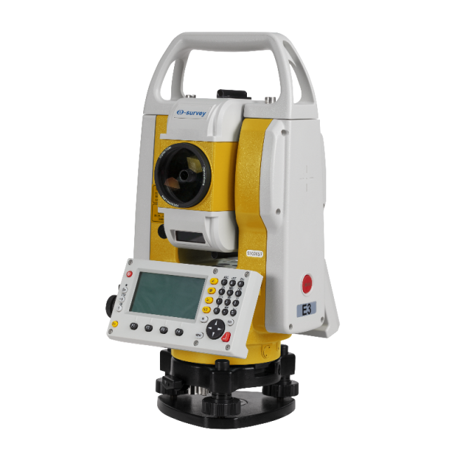
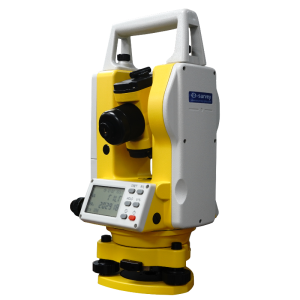
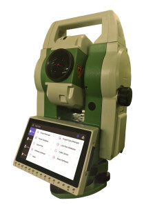
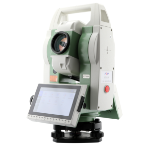
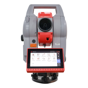
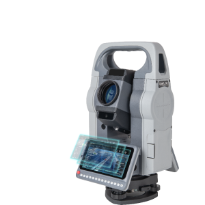
eSurvey E3/E3L Total Station
Total Station
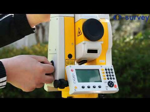
E3 / E3L is a high precision manual total station, with accurate angle and distance measurement. It can work reliably and deliver accurate results even in harsh environments. And its simple operations make most survey and stakeout tasks more easily and efficiently.
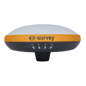
eSurvey GNSS
Shanghai, CN
Description
More accurate measurement
Measure angle more accurately, supported by our absolute encoder and distance, and measure distance more accurately, supported by our powerful EDM unit.
Faster and more convenient measurement
Measure more points per day due to faster measurement and stakeout (including guide light, and trigger key for instant measuring), supported by our comprehensive and user-friendly software.
More reliable result
Use both X-axis and Y-axis compensators to ensure the reliability of your measurement result.
Rich software applications
Experience rich applications, including offsets, tie distance, area & volume, remote height, reference line/arc, construction, and 2D road, to meet your field measurement needs.
High quality, designed for harsh environments
Operate the device even under harsh environments (like dust, mud, rain, extreme heat, and cold) for many years, supported by its high level of quality.
Specifications
-
General
-
Year of introduction
2020
Height [m]
0.345
Width [m]
0.17
Depth [m]
0.19
Display Panel
Dual screens
Area of Application
Survey
-
User Interface
-
Operating System
Integrated
On-board survey software
Integrated
No. faces
2
Color display
N
Touchscreen
N
No. keys
30
Note recording capability
N
-
Distance Measurement with Prism
-
Standard deviation: constant part [mm]
2
Standard deviation: variable part [ppm}
2
Division [mm]
0.1
Prism EDM Range [m]
5000
Measuring Time [s]
0.6
-
Integrated camera
-
Integrated camera available [Y/N]
N
-
Miscellaneous
-
Laser plummet
Class 3
Guiding light
Y
Integration with GNSS receiver possible [Y/N]
N
-
Integrated Laser Scanning
-
Integrated laser scanning available [Y/N]
N
-
Operation
-
Minimum working temperature [degC]
-20
Maximum working temperature [degC]
50
IP dust/water protection class [IPxx]
IP55
-
Distance Measurement without Prism
-
Standard deviation: constant part [mm]
3
Standard deviation: variable part [ppm]
2
Non-Prism Range [m]
800
-
Power Supply
-
Battery
Replaceable Li-ion battery
Capacity
2600mAh
Max. operation time on one battery [hr]
16
Batteries hot-swappable
N
-
Support
-
Standard warranty [years]
1
-
Angle Measurement
-
Standard deviation [arcsec]
2
Division [arcsec]
1
Compensation
Dual axis
Vertical Coverage
±3’
Guide Light
Support
-
Connectivity
-
Bluetooth
Y
USB
Yes
RS232
Yes
-
Hardware
-
Laser Plummet
Support
Auto Leveling
Support
LED Indicators
Support
Videos


