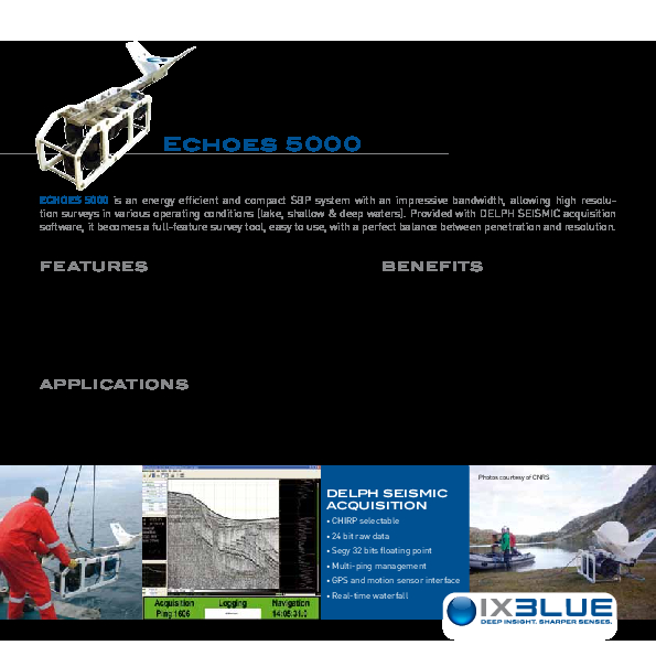
Echoes 5000 SBP
Echoes 5000 is an energy efficient and compact sub-bottom profiler (SBP) system allowing high resolution surveys in various operating conditions (lake, shallow & deep waters).

Exail
Saint Germain en Laye, FR
Description
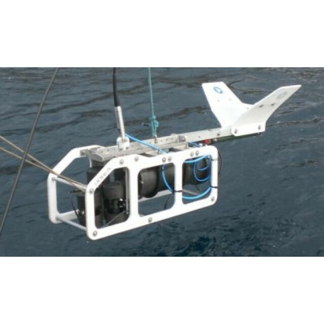
Echoes 5000 is an energy efficient and compact sub-bottom profiler (SBP) system allowing high resolution surveys in various operating conditions (lake, shallow & deep waters). Its design allows an easy integration with an AUV for operation down to 6 000 m. Provided with Delph Seismic acquisition software, it becomes a full-feature survey tool, easy to use, with a perfect balance between penetration and resolution.
Do you have questions about this product?
- Questions about price, availability, and/or retailers
- Questions about technical specifications and usage
- Questions about suitability for your project or application
Specifications
-
Mode of operation
-
Platform type
Side Mounted, Pole Mounted, Surface Towed, Deep Towed, AUV, ROV
Operating System
Windows, Other
Min. depth of operation [m]
1
Max. depth of operation [m]
6000
Min. frequency [Hz]
2000
Max. frequency [Hz]
6000
Signal composition
Chirp
Power output [W]
1000
Max. resolution [m]
0.25
Max. penetration [m]
80
Max. pulse length [s]
0.1
Pitch corrected
N
Roll corrected
N
Heave corrected
N
Frequency
-
General
-
Product type
Multi-purpose SBP towed or AUV
Year of initial development
2005
Application
High Resolution
Max power consumption [W]
400
Power type
AC, DC
Transducer weight [kg]
14
Transducer length [m]
0.326
Transducer width [m]
0.326
Transducer height [m]
0.212
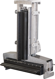
Weight of logging unit [kg]
10
Length of logging unit [m]
0.5
Width of logging unit [m]
0.483
Height of logging unit [m]
0.1
Portability of logger
Desktop, Rack
Components to be used in combination with product
inertial navigation, subsea positioning
-
Integration in work process
-
Remote operation
Y
External heave input
Y
External roll input
Y
External pitch input
Y
External positioning input
Y
Marking of events
Y
Real time coupling to survey software
Y
Coupling to post-processing software
Y
-
Data Processing
-
Data displayed
Navigation; Attitude; Depth; Signal voltage; Spectrum. On-screen measurement of horizontal and vertical distance; slope.
Main use
Environmental, ports, lakes and waterways survey, pre-dredging survey, buried object detection and archaeology, windfarm & renewable energies. Perfect solution for installation onboard AUV.
Data output
Raw and Processed data; plotter/printer outputs
Formats
SEGY/XTF/NAV/TIFF/ASCII/SHAPE/GeoTIFF
Data output for seafloor classification
Y
Connections
LAN, RS232, USB
Internal logging
DVD, Hard drive
Post-processing
DELPH Seismic Interpretation software is INCLUDED; Gain corrections; Horizontal stacking; Swell filtering; digitizing; DTM building; volume computation
Documents
Brochure
migrationyztose.pdf
524.31 KB
Videos
