About Routescene
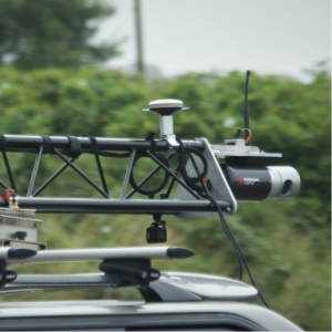
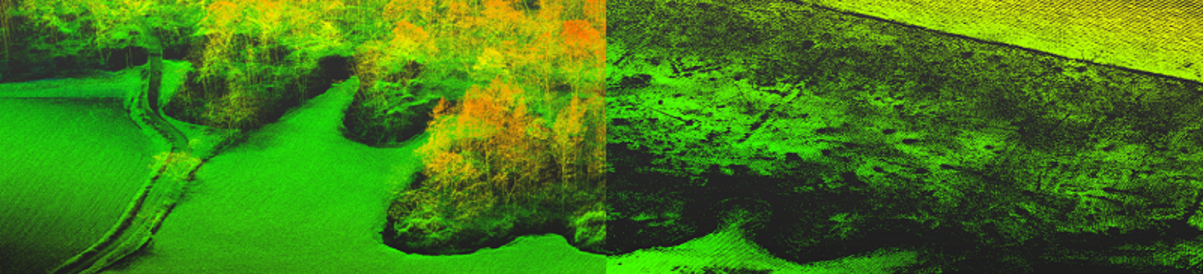
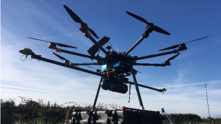
Routescene designs, develops and manufactures integrated 3D mapping solutions with LiDAR specifically for use on UAVs/ drones. The Routescene UAV LiDAR system is ideal for where high penetration of dense vegetation is needed, for example to achieve high resolution DTMs. The benefits of using the system on a drone become particularly clear in hard to reach, hazardous or hostile environments where access is difficult or dangerous.
Please email [email protected] directly for further information.
Featured products
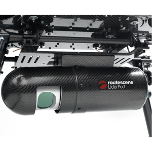
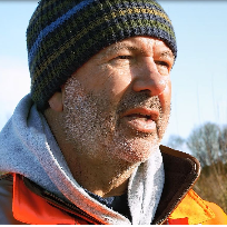
“The LidarPod has been great in terms of its penetration of vegetation. We were surprised at the amount of points per m2 we were achieving through dense vegetation. Our UAV LiDAR system is used 2-3 times a week now. It's grown our business by 50%.””
Michael May, Flythru, UK
Main office
-
17B Graham Street
Edinburgh
EH6 5QN
United Kingdom -
+44 131 513 9608
- https://www.routescene.com/


