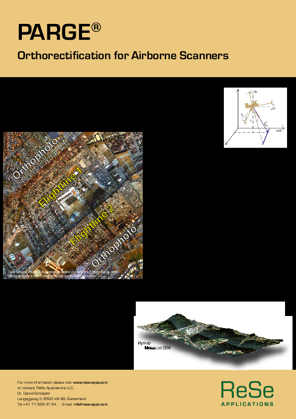
PARGE
Parametric Geocoding & Orthorectification for Airborne Optical Scanner Data
PARGE® is a direct geocoding and orthorectification software. It exactly reconstructs the scanning geometry for each image pixel using position and attitude of the airplane in conjunction with (optional) terrain elevation data. It is especially suited for the application with hyperspectral airborne line scanner instruments.

ReSe Applications LLC
Wil, CH
Description
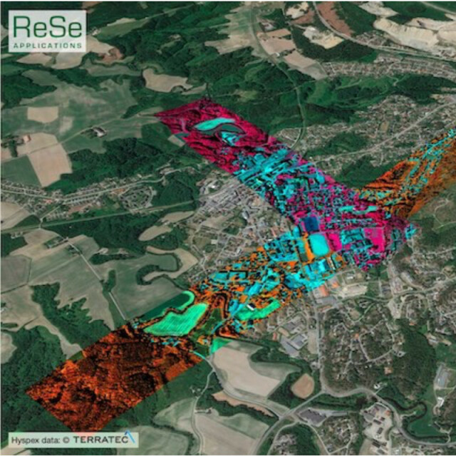
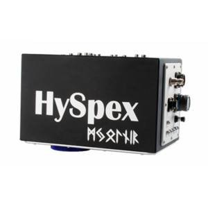
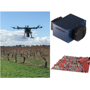
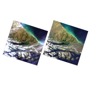
PARGE® is the orthorectification and direct geocoding software for airborne optical scanner data. It performs an ortho-rectification of line scanner imagery using a digital elevation model on the basis of high precision flight parameters such as GPS position and attitude angles. Using accurate digital elevation models and optional ground control points, sub-pixel geometric accuracy is achieved. The program is suited for the correction of all kinds of airborne scanner imagery and is optimized for airborne hyperspectral instruments. Directly supported sensors so far are: AISA (Eagle/Hawk/AFX), AVIRIS, APEX, Itres' CASI/SASI/TASI, HyMap, Probe-1, MIVIS, PHILLS/Samson, NEO's HYSPEX and Mjolnir, Resonon-Pika, and Headwall Photonics Hyperspec® Nano.
Key Capabilities
The software offers these key advantages:
- direct parametric geocoding & orthorectification
- a semi-automatic, and fully automatic boresight calibration procedures
- optimization for imaging spectroscopy (hyperspectral data)
- a workbench-style graphical user interface
- open internal data format and programming interface
- full batch processing support
- wide variety of resampling options
- support for raw-geometry based processing chains
- automatic mosaicking
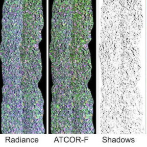
- direct link to atmospheric correction package (ATCOR-4)
- customer-oriented software customization
Do you have questions about this product?
- Questions about price, availability, and/or retailers
- Questions about technical specifications and usage
- Questions about suitability for your project or application
Specifications
-
Application
-
Main applications
Spectroscopic Aerial Mapping Systems, Airborne system boresighting, large scale direct rectification
Distinguishable features
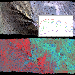
Direct parametric geocoding and Orthorectification at sub-pixel accuracy
Main users
Data provider and surveyors.
-
General
-
Year of introduction
2001
Year of last update
2021
Supported hardware
Windows, Linux, MacOSX. Directly supported sensors so far are: AISA (Eagle/Hawk/AFX), AVIRIS, APEX, Itres CASI/SASI/TASI, HyMap, Probe-1, MIVIS, PHILLS/Samson, NEO's HYSPEX and Mjolnir, Resonon-Pika, and Headwall Photonics Hyperspec® Nano.
User definable operations and extensions
Batch processing options.
Other input data supported
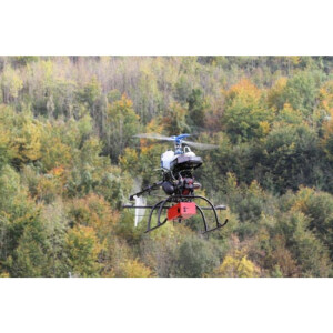
Any airborne and drone-based optical and thermal pushbroom /line scanner sensor system can be processed.
-
Editing
-
Overlay with map data
Y
-
Classification in general
-
Max. number of bands
10000
-
Geometric processing
-
Correction models
Y
Transformations
Y
Cartographic projections
Y
Ortho-image generation using DEM
Y
Resampling
Y
Geometric accuracy assessment
orthorimage matching
Documents
Brochure
parge-flyer.pdf
419.4 KB
