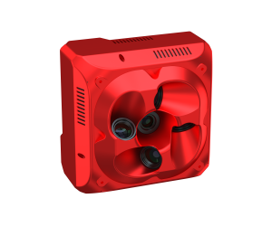
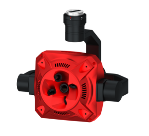
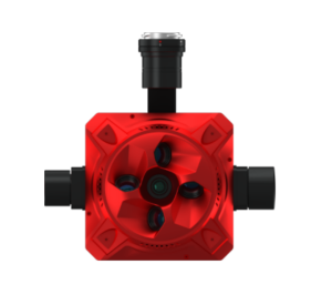
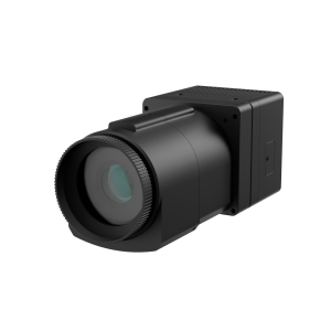
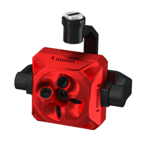
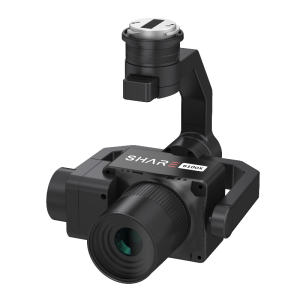
microCASI-1920
Directly georeferenced high-fidelity VNIR mapping system
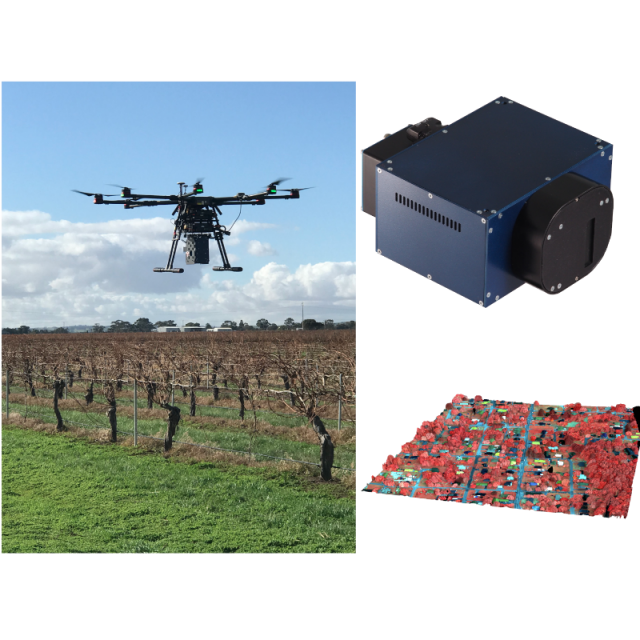
The microCASI-1920 provides constant, high-fidelity spectra from 400 to 1000 nm. Each pixel contains a spectral profile and XYZ coordinates for export of spectral properties into GIS for rapid response - mapping of the imagery is post-acquisition. Each system is accompanied with Radiometric Correction and (optionally) Georeferencing software built on ITRES' 40 years of system design and data processing workflows.
ITRES Research Limited
Canada
Description
Specifications
-
Sensor Characteristics
-
Spectral bands
NIR
Spectral bands wavelengths
Full Frame : 2.1 nm
Type of sensor
Lens aperture
2.4
Sensor size [pixels X]
1920
Sensor size [pixels Y]
1
Pixel size [micrometre]
5.8
Max. shutter speed [s]
Frame rate of 12 ms
Number of spectral bands
288
Max. across-track FOV [deg]
36.6
COLOR SENSITIVITY
VNIR Hyperspectral Imager
COMPRESSION BIT RATE
12
Frame Rate
83 Hz
MINIMUM SD CARD
Internal 1TB SSD
WEIGHT
2.6 kg / 2.9 kg with GNSS
INPUT/OPERATING VOLTAGE
35 W
Maximum image size
USER defined
COMPATIBLE DEVICES
GNSS-Inertial units / LIDAR
-
General
-
Year of last update
2018
Year of introduction
2016
Type
Power consumption
35 W
-
Data / System Support
-
Dynamic range [bits]
12
Post-processing for collected raw images
Yes
Image data formats
Raw data is ITRES proprietary, Calibrated images are PIX / TIFF (option)
Supported positioning methods
GNSS RTK
Type of GNSS/INS positioning system
Applanix AP-15 offered - compatible with most types
-
Uncertainty
-
Precision [pixels]
Positional RMS affected by Elevation model quality
Geometric calibration
Photogrammetric bundle adjustment SW available
Radiometric calibration
NIST Traceable Standard - ITRES' RCX Radiometric SW
-
Lenses and Sensors
-
Irradiance sensor
Optional
Available lenses
Standard 36.6 deg. FOV, others Optional
-
Data storage
-
Type of storage
SSD
Storage capacity
>1 TB
Interfaces
USB3 / GigE
-
Additional specifications
-
Main applications
Precision Agriculture, Optical Water Quality, Forest / Vegetation health, viticulture
Distinguishable features
All in one build, includes internal calibration module
More in UAS Cameras