
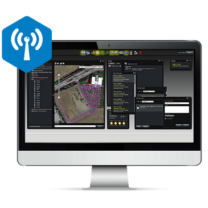
ViNE 2D & 3D GNSS Imaging Software
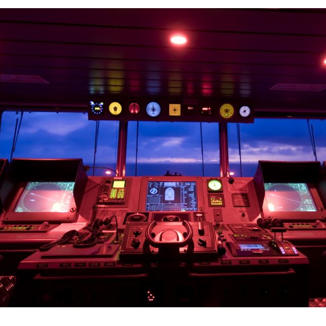
ViNE displays key positioning information and statistics that allow operators to make quick, informed decisions aboard any type of Dynamic Positioning (DP) vessel or rig
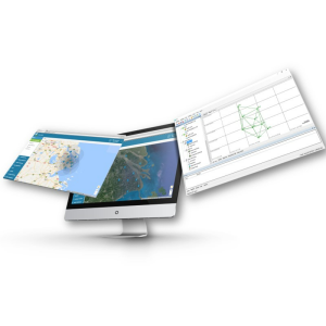
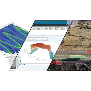
ViNE displays key positioning information and statistics that allow operators to make quick, informed decisions aboard any type of Dynamic Positioning (DP) vessel or rig. This software is designed to provide clear, well-defined 2D and 3D imagery to provide detailed project visualization and display multiple layers such as seabed profiles and subsea assets.
Veripos
United Kingdom
Description
ViNE integrates essential views such as GNSS plots of all available constellations and correction delivery satellites, the displays also include plots of position calculations. The vivid traffic light indicators show overall system health.
This software is designed to run independently from the position calculation, allowing users to interact freely with the software without impacting the position feed to the DP system.
Specifications
-
General
-
Area of application
Processing type
-
Requirements
-
Operating System
-
Corrections base
-
Signal
-
Miscellaneous
-
Subscription
Documents
Brochure
ViNE Product Sheet.ashx?la=en&hash=A256B0664B1B409549BD8ECD55C52123

