
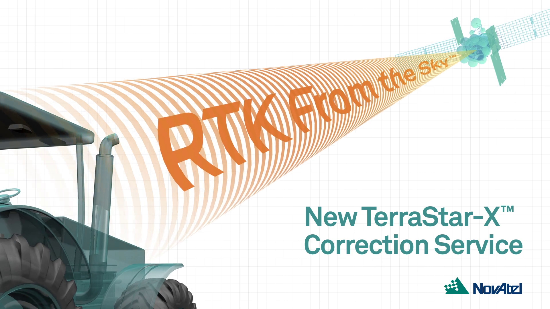
TerraStar-X Correction Service
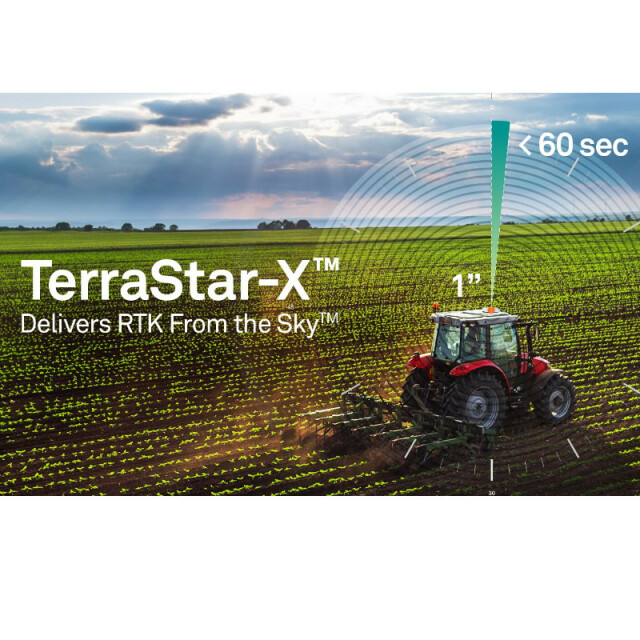
RTK From the Sky™
Extreme speed. Exact accuracy. Extraordinary Reliability

NovAtel
Calgary, CA
Description
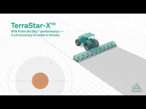
TerraStar-X enables RTK From the Sky™ using corrections delivered via L-band satellite to ensure maximum uptime without the additional investment of base station infrastructure or cellular plans. Convergence to 2 cm accuracy is achieved in less than 60 seconds and TerraStar-X service operates seamlessly with TerraStar-C PRO to ensure continuous centimetre-level accuracy for customers operating on the edges of the coverage area.
TerraStar-X region:
Benefits
- Maximum coverage, performance and uptime without the logistics and equipment investment of an RTK network
- 2.5 cm 95% Horizontal accuracy
- 2 cm (sub-inch) pass to pass accuracy for agriculture applications
- Converges in under 1 minute, significantly reducing wait time
- Provides indefinite RTK ASSIST PRO solution for applications where traditional RTK is still required
- Seamless operation outside of the TerraStar-X region backed by our TerraStar-C PRO global solution
Click Here to Request Free 5-Day Trial
Do you have questions about this product?
- Questions about price, availability, and/or retailers
- Questions about technical specifications and usage
- Questions about suitability for your project or application
Specifications
-
General
-
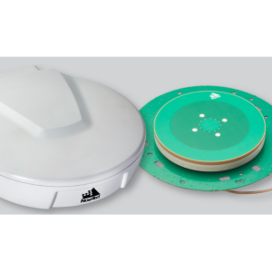
Compatible Receivers
OEM7 Series, SMART7 and more
Area of application
Airborne, Land
Processing type
Real Time Correction Service
-
Requirements
-
Operating System
-
Corrections base
-
SBAS
Y
Signal
-
Technical specifications
-
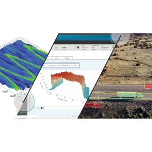
Coverage
US Corn Belt Region
Horizontal accurcacy (RMSE) {cm}
3
Vertical accuracy (RMSE) {cm}
5
-
Miscellaneous
-
Subscription
Regional
Documents
Brochure
0019157969e7b01439141?authid=PTcElDItF6Ai
Videos


