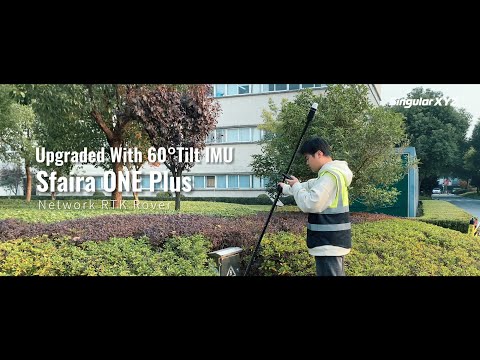


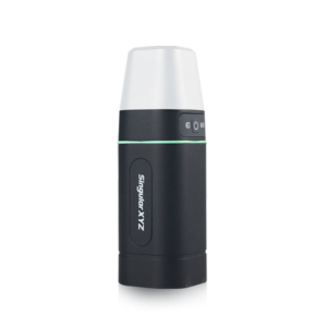
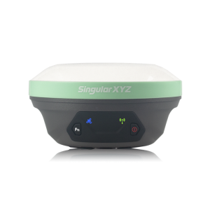
Sfaira ONE Plus GNSS Receiver
Upgraded 60° Tilt IMU, Easy Surveying, Precise Positioning
The ultra-portable Sfaira ONE Plus introduces advanced IMU tilt functionality, responding to the evolving needs of users and enhancing surveying capabilities in challenging environments.

SingularXYZ Intelligent Technology Ltd.
Shanghai, CN
Description
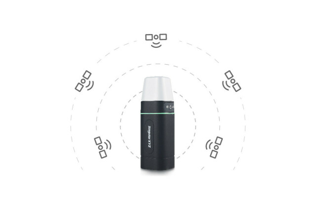
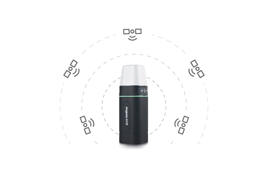
CENTIMETER ACCURACY
To ensure superior GNSS performance, Sfaira ONE Plus is equipped with a powerful GNSS module with 1408 channels for GPS, BDS, GLONASS, Galileo & QZSS tracking, providing centimeter positioning in any harsh environments.
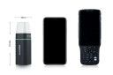
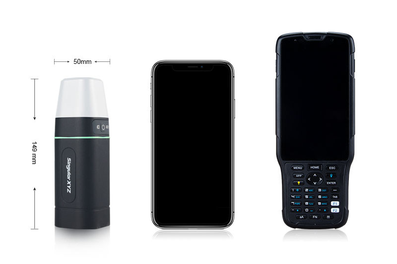
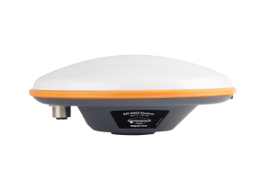
POCKET SIZE
With Φ50mm×149 mm ultra-portable size and lightweight, users can easily put the Sfaira ONE Plus in your cloth pocket, briefcase or backpack side pocket, carrying it with you anywhere.
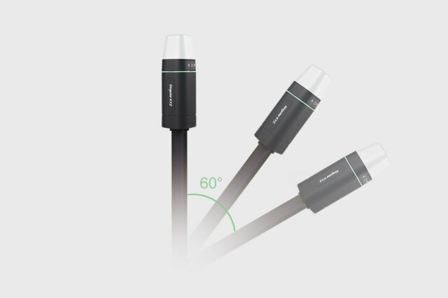
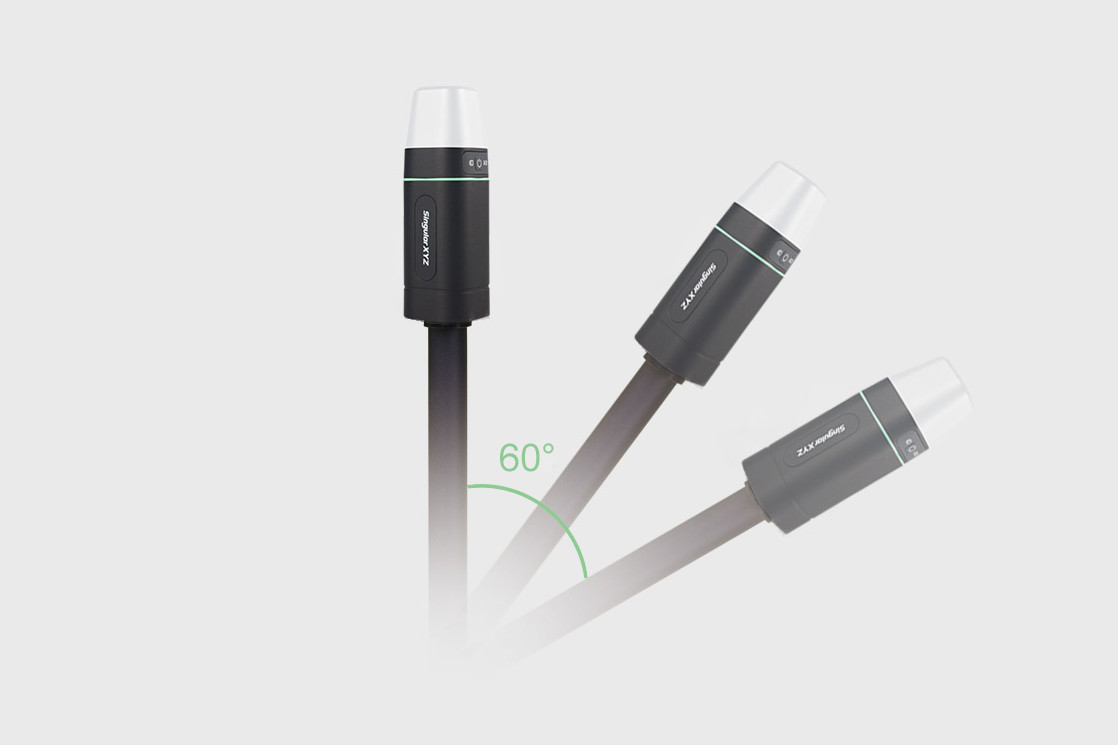
60° TILT SURVEY
Upgraded with an IMU module for up to 60° tilt surveying range, users can conduct survey and stakeout tasks without centering the pole, largely improving working efficiency.
DURABLE HOUSING
Taking into account the different outdoor working environments of users, Sfaira ONE Plus is designed with IP65 protection level and 1.5m drop-proof housing, and can also withstand extreme temperature work.
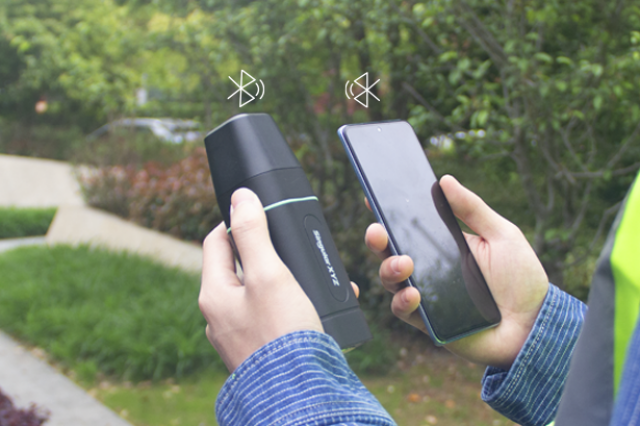
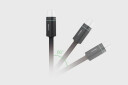
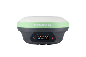
BLUETOOTH CONNECTION
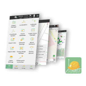
Connect via Bluetooth, you can simply configure and conduct surveying tasks on your smartphone. Sfaira ONE Plus can be partnered with SingularPad field software, and is also compatible with mainstream survey or GIS software.
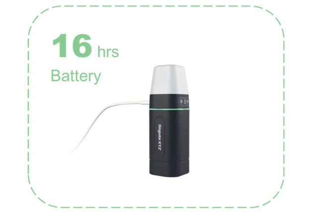
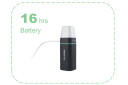
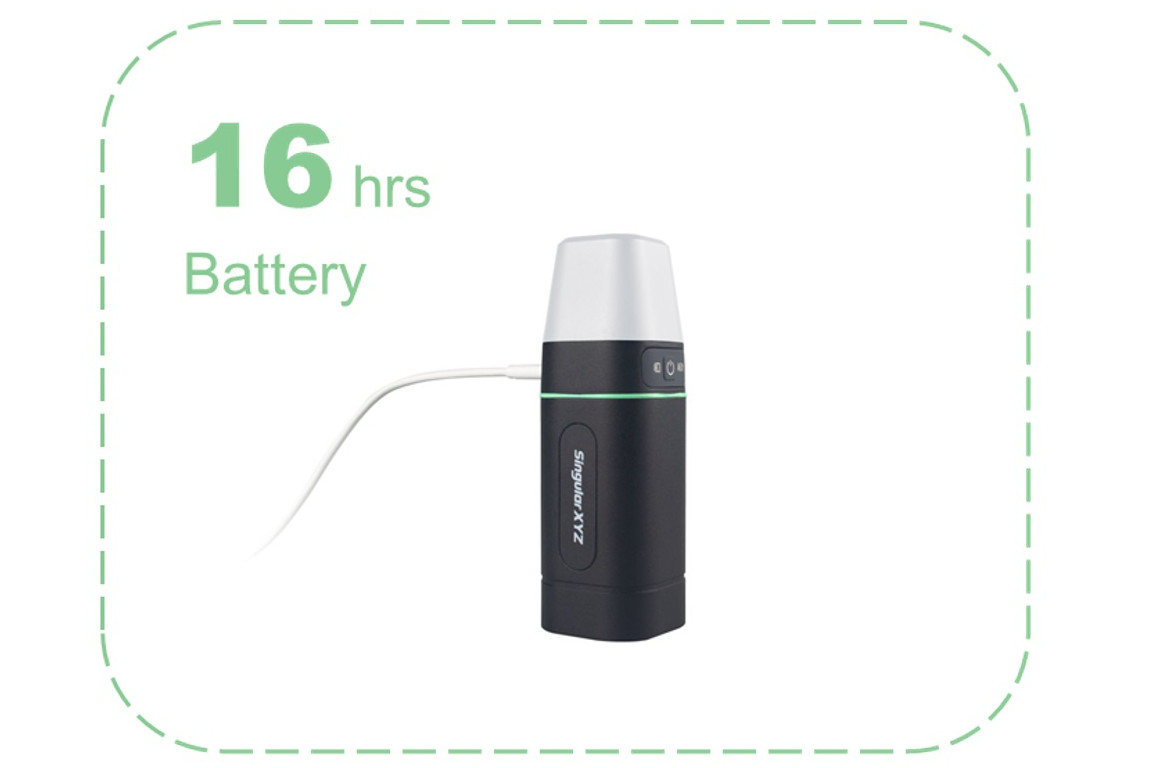
16 HOURS OF BATTERY
With a 4800mAh built-in battery, Sfaira ONE Plus supports 16 hours continuous working time with only 2 hours charging time. Users can also charge the Sfaira ONE Plus on-the-go with power bank through the type-C interface.
Do you have questions about this product?
- Questions about price, availability, and/or retailers
- Questions about technical specifications and usage
- Questions about suitability for your project or application
Specifications
-
General
-
Depth [m]
0.05
Height [m]
0.149
Total Weight [kg]
0.409
Width [m]
0.05
Year of initial introduction
2023
Type
Land
-
Performance
-
Max. simultaneous tracked channels
1408
No. channels
1408
Reacqisition time [s]
1
RTK Network Compatibility
Y
Tracked satellite signals
BDS: B1I, B2I, B3I, B1C, B2a, B2b* GPS: L1 C/A, L1C*, L2P, L2C, L5 GLONASS: L1, L2, L3* Galileo: E1, E5a, E5b, E6* QZSS: L1, L2, L5
Type of measurements
RTK
-
Environment
-
Operating temperature: min. [°C]
-45
Operating temperature: max. [°C]
75
ROHS compliance
N
Shock and vibration proof
Designed to survive a 1.5m drop onto concrete
Water sand and dust proof
IP65
WEEE compliance
N
-
Communication: general
-
Communication ports
Type-C, Bluetooth
Simultaneous links
Y
PPS Out
N
Bluetooth
Y
-
Communication: Protocols
-
Configuration method
Android field software
NMEA output format
NMEA-0183
Other formats for differential data
RTCM3.X
other output formats
NMEA-0183
RTCM standards for differential data
RTCM3.X
-
Communication: links
-
CDMA phone modems
N
GSM; UMTS phone modems
N
Landline modems
N
Radio modems
N
-
Horizontal uncertainty
-
code: DGNSS/RTC (constant part) [m]
- 0.4m Horizontally - 0.8m Vertically
Initialization time on the fly [s]
<5s (typical)
phase: RTK kinematic (variable part) [ppm]
1
phase: RTK kinematic (constant part) [m]
- 8mm+1ppm Horizontally - 15mm+1ppm Vertically
phase: static post processing (variable part) [ppm]
N
phase: static post processing (constant part) [m]
N
RTK network solution methods
VRS
-
Power
-
Certifications
CE, FCC
Direct car connection cable available
N
External power supply
5V DC ≤ 2A
Operating power: max. [V]
5
Operating power: min. [V]
5
Operating time with internal power supply [hr]
16
Rechargeable with (auto)battery
Y
Typical consumption [W]
1
Connectors
Type-C
-
Recording
-
Data capacity [MB]
N
Data input
N
Memory medium
N
Type of data (on board recording)
N
-
More information
-
Distinguishable features
Upgraded 60° Tilt IMU, Ultra-portable size, Centimeter accuracy
Documents
Brochure
8b0c0f35c8b8ad34.pdf
Videos
