


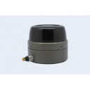
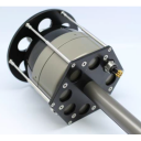

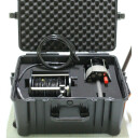


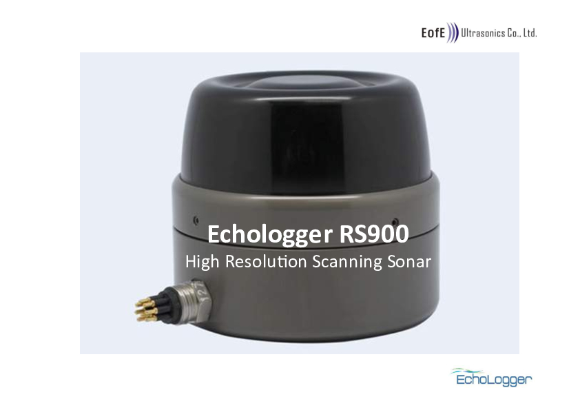
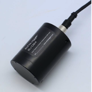
RS900
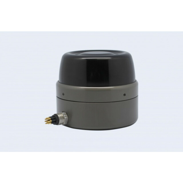
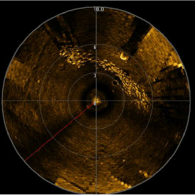
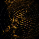
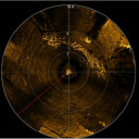
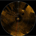
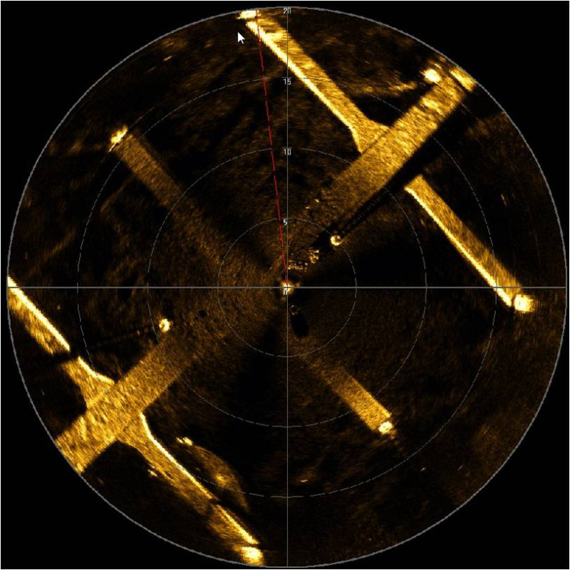
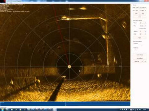
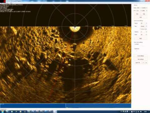
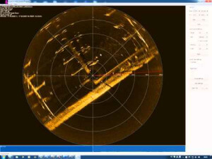
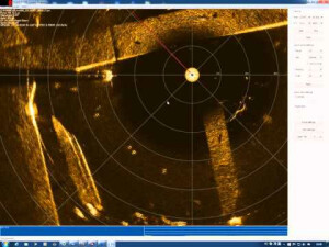
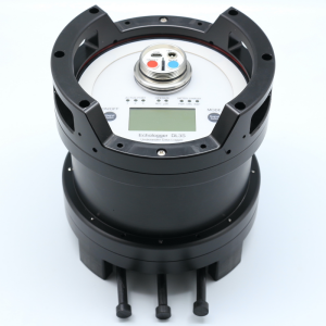
RS900 is Scanning Sonar with very high-resolution images. The device can generate acoustic images at a very high scanning speed with a non-contact rotating mechanism. Its digital CHIRP technology gives better performance in range and sensitivity. RS900 is popularly used in the Oil & Gas industry, Rescue & Recovery operations and Navigation for ROVs & AUVs.

EchoLogger
Goyang-Si, KR
Description
RS900 is Scanning Sonar with very high resolution images. The device can generate acoustic images in a very high scanning speed with non-contact rotating mechanism. Its digital CHIRP technology gives better performance in range and sensitivity. RS900 is popularly used in Oil & Gas industry, Rescue & Recovery operation and Navigation for ROVs & AUVs.
Do you have questions about this product?
- Questions about price, availability, and/or retailers
- Questions about technical specifications and usage
- Questions about suitability for your project or application
Specifications
-
General
-
Year of initial development
2013
Product Brochure 2
/upload/461-2827-8406.pdf
-
Sonar Details
-
Max. depth [m]
1500
Min. frequency [kHz]
800000
Max. frequency [kHz]
1000000
Typical range [m]
60
Minimal detectable range [m]
0.3
Max. number of beams
1
Min. horizontal beam width [deg]
0.9
Max. horizontal beam width [deg]
0.9
Min. vertical beam width [deg]
25
Max. vertical beam width [deg]
25
Min. pulse length [µs]
10
Max. pulse length [µs]
500
Max. update rate [Hz]
10
Range resolution [cm]
0.0075
Min. DC power [V]
12
Max. DC power [V]
60
Max. power consumption [W]
4
-
Data Processing
-
Data processing software
Echologger Imaging Sonar Controlle software provided
Operating System
Windows XP, Windows 7
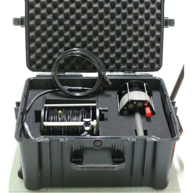
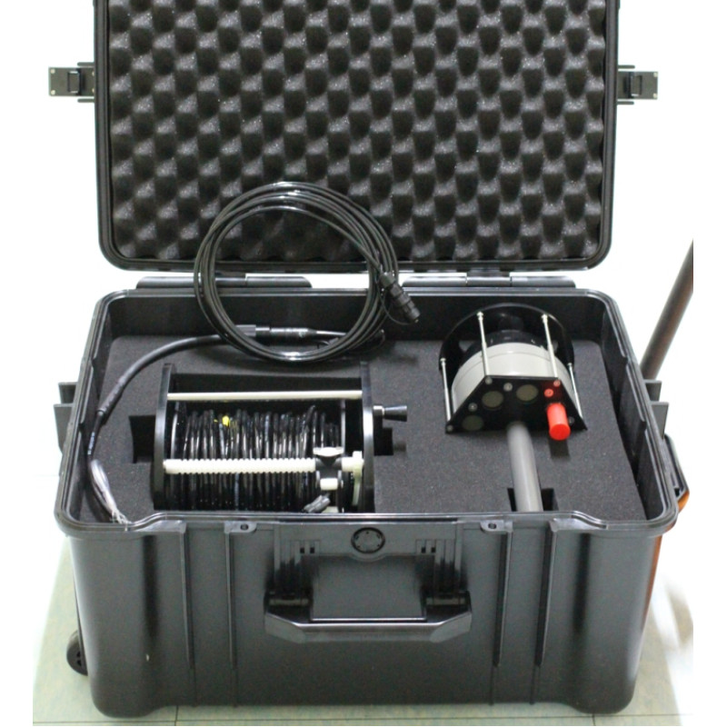
External data storage options
Data automatically stored in hardware disks
Interface options
RS232/485
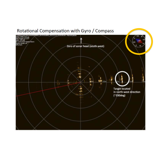
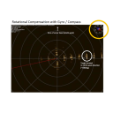
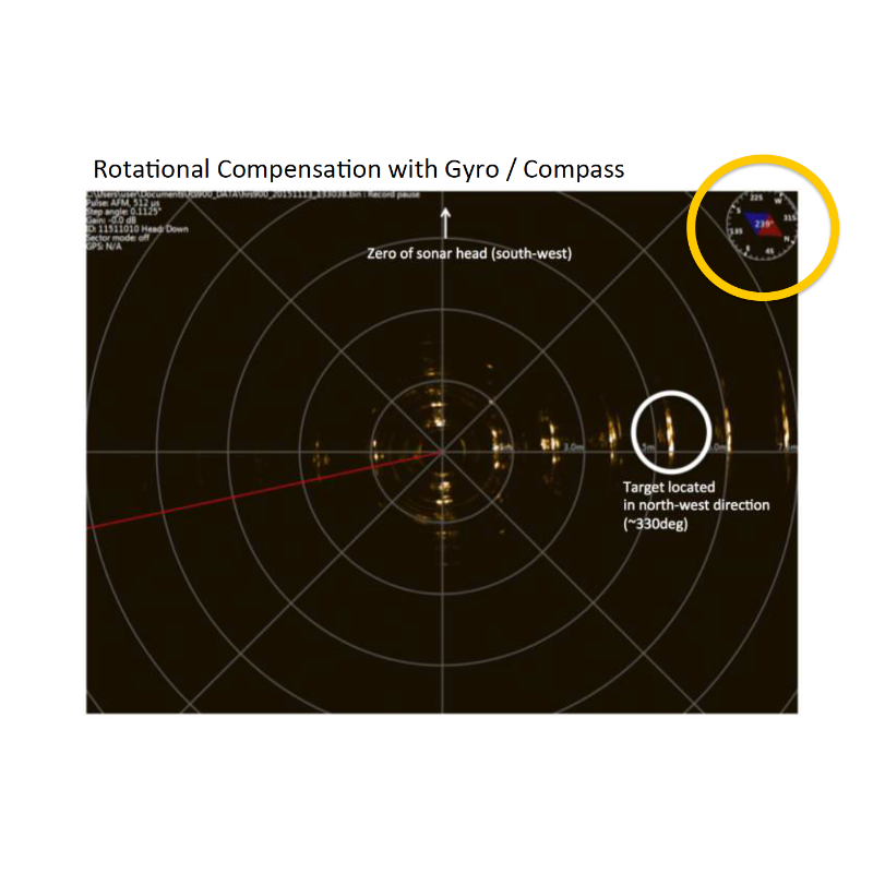
Motion correction
Compass & Gyro
-
Other specifications
-
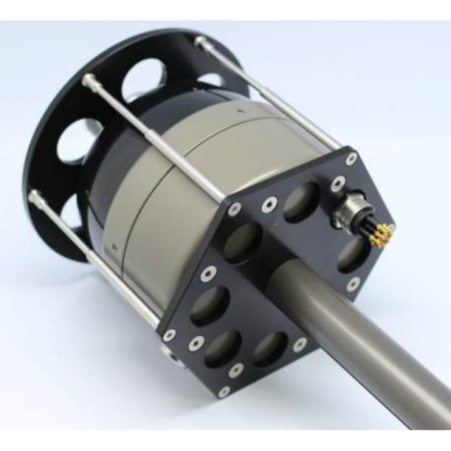
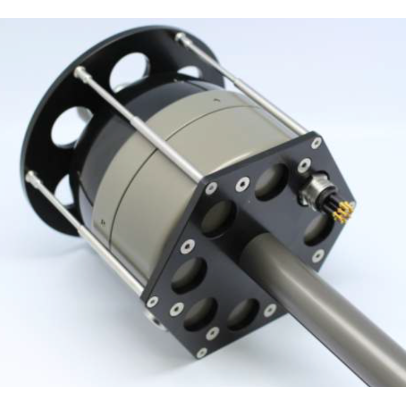
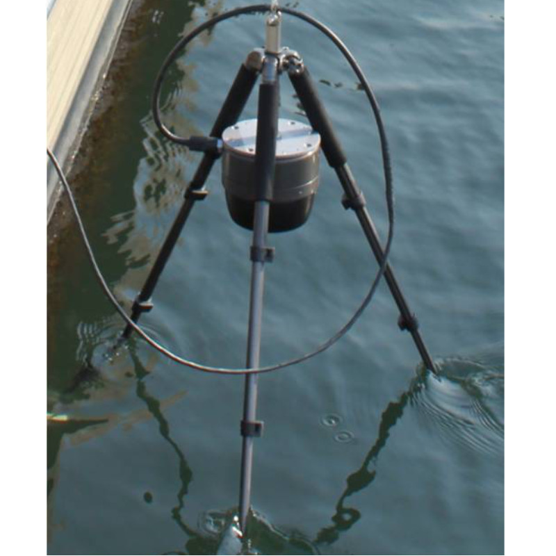
Mount options
Tripod or Mounting brackets can be provided
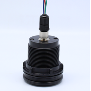
Connector options
MCBH8M or MCBH4M
Main applications
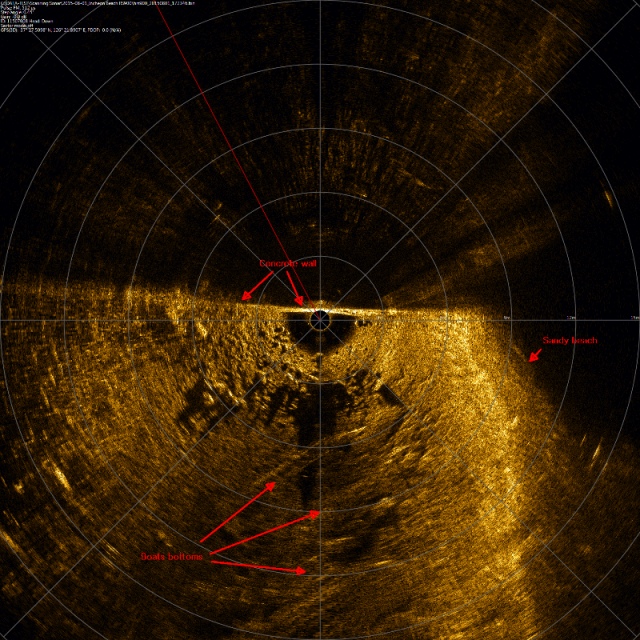
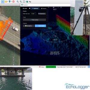
Real-time underwater imagingSearch and Recovery
Carrier options
Documents
Brochure
rs900-introduction-mod1.pdf
1.29 MB

