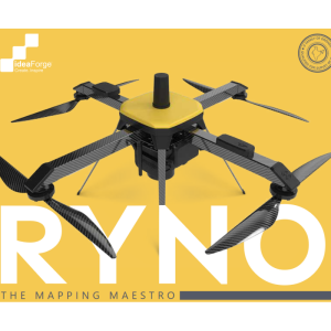
Q6 UAV
Get ready to map like never before
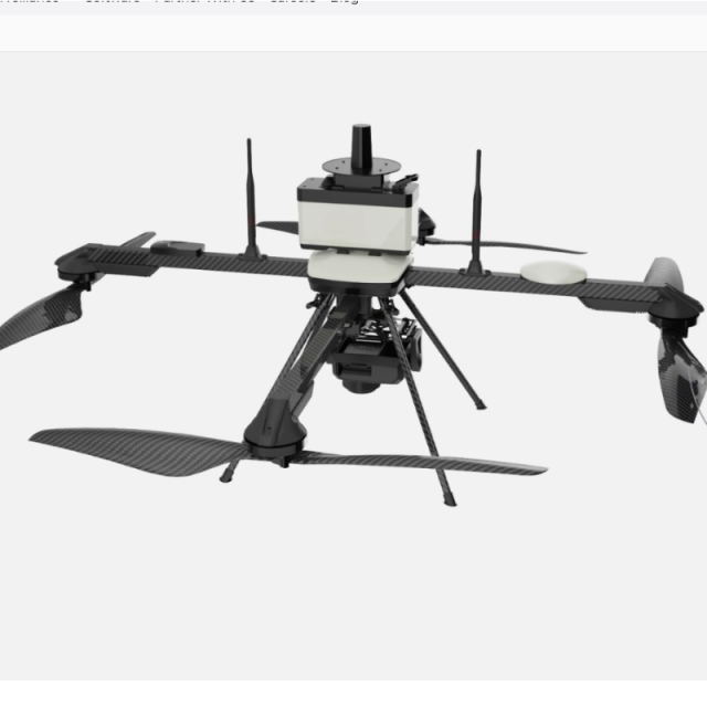
Q6 Mapping UAV is ideaForge’s small category drone with unmatched flexibility & ease of operation, even when compared to Hybrids. Its Quadcopter design & high area coverage ensures you can stay on field longer and finish your large-scale mapping projects quicker. Its included BlueFire Ground Control Station makes flight planning quick and simple, and helps you focus on your survey grade outputs while minimizing piloting workload.
ideaForge
India
Description
Map in 3D and Cover Larger Areas with Q6’s Swivel Payload
The combination of the mapping payload with PPK module is a powerhouse in itself. It delivers accuracy that has never been seen before in this class.
ideaForge's survey-grade payload with PPK antenna ensures consistent survey-grade performance, even in uneven terrain.
Real-world Outputs
Q6’s standard output formats ensure compatibility with your existing workflow.
Features
Q6 UAV is our small category survey-grade drone with an advanced mapping payload and state-of-the-art PPK Module. We have ensured that Q6 UAV offers category-defying performance even in the most demanding conditions.
Specifications
-
Imaging/scanning devices
-
Onboard imaging/scanning devices
-
Included software and automatically generated
-
Type of software included
Automatically Generated Products
Related products


