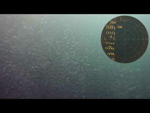

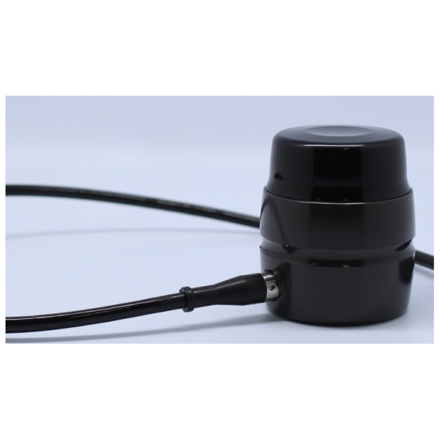
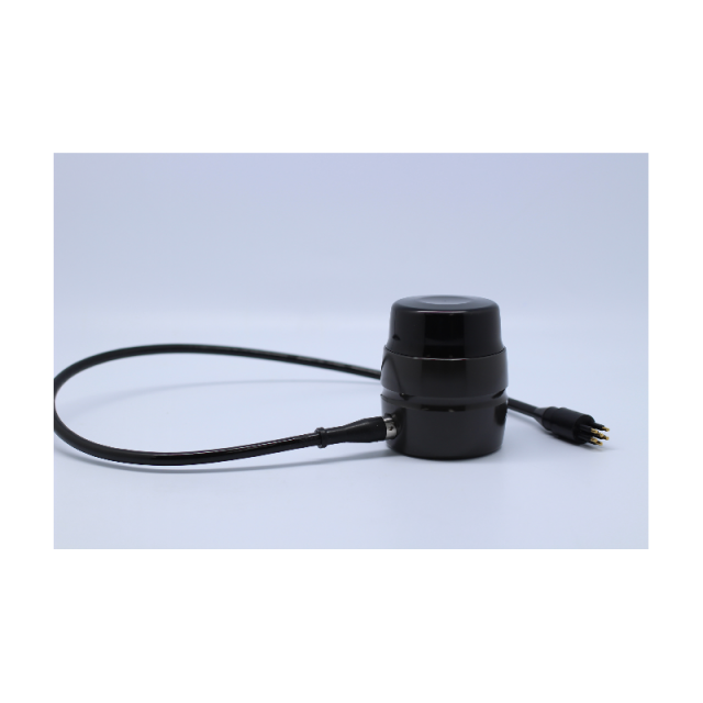
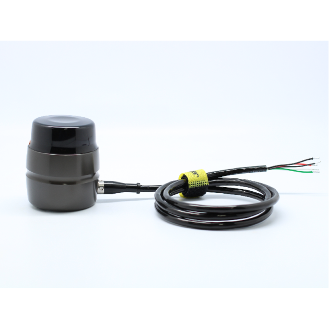

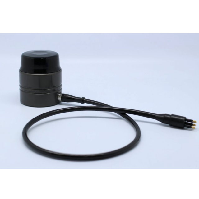


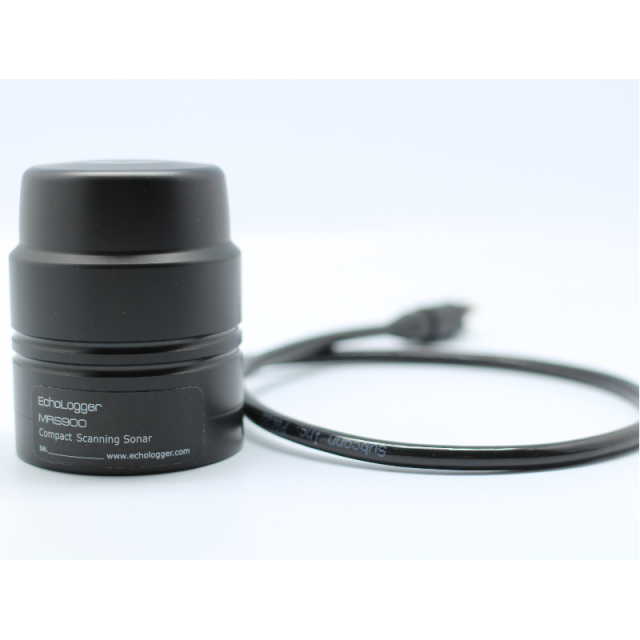
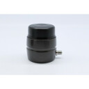
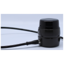
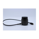


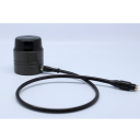
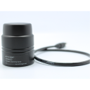
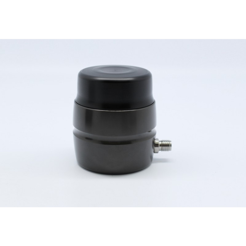
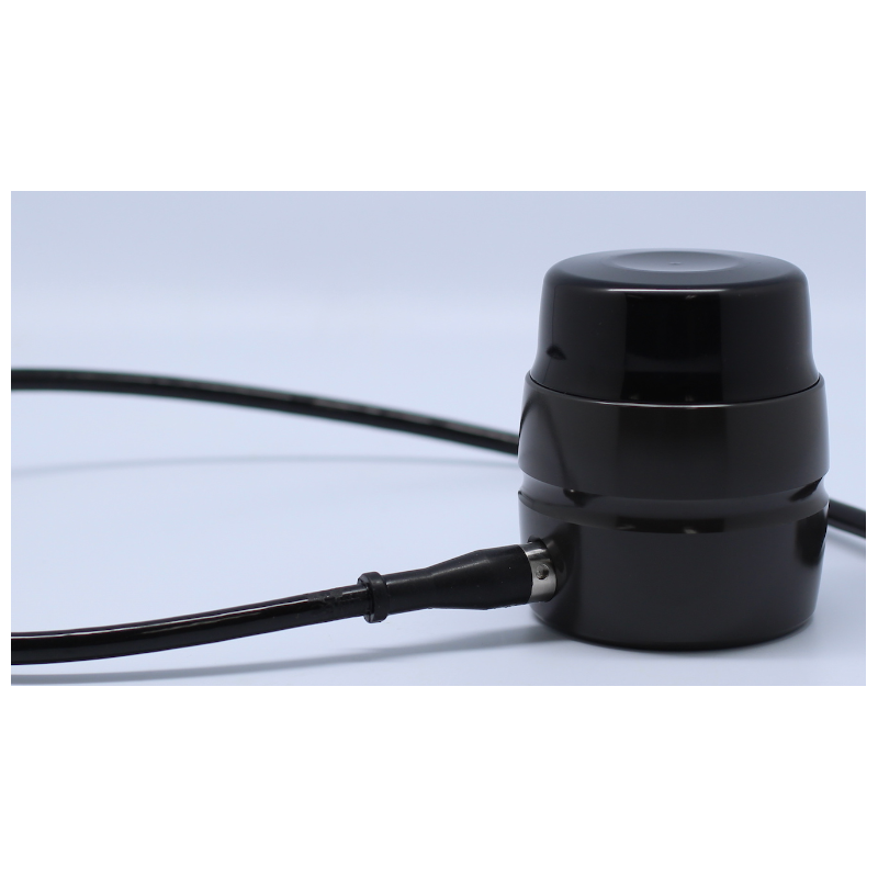
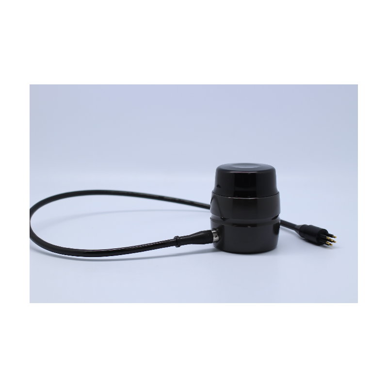
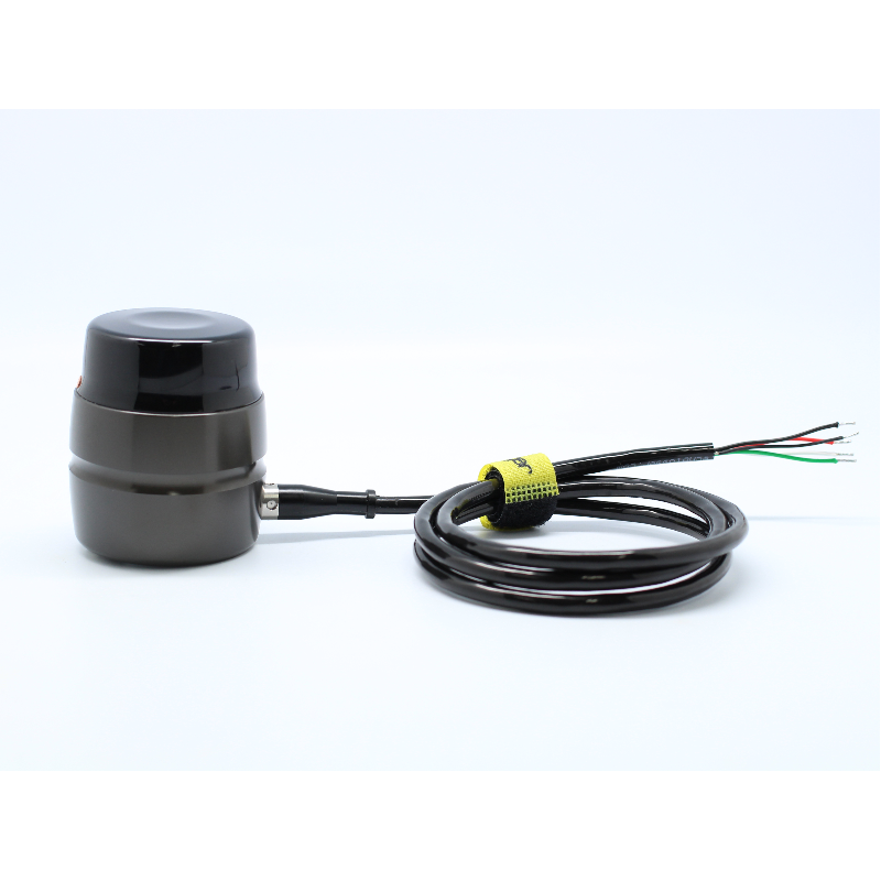

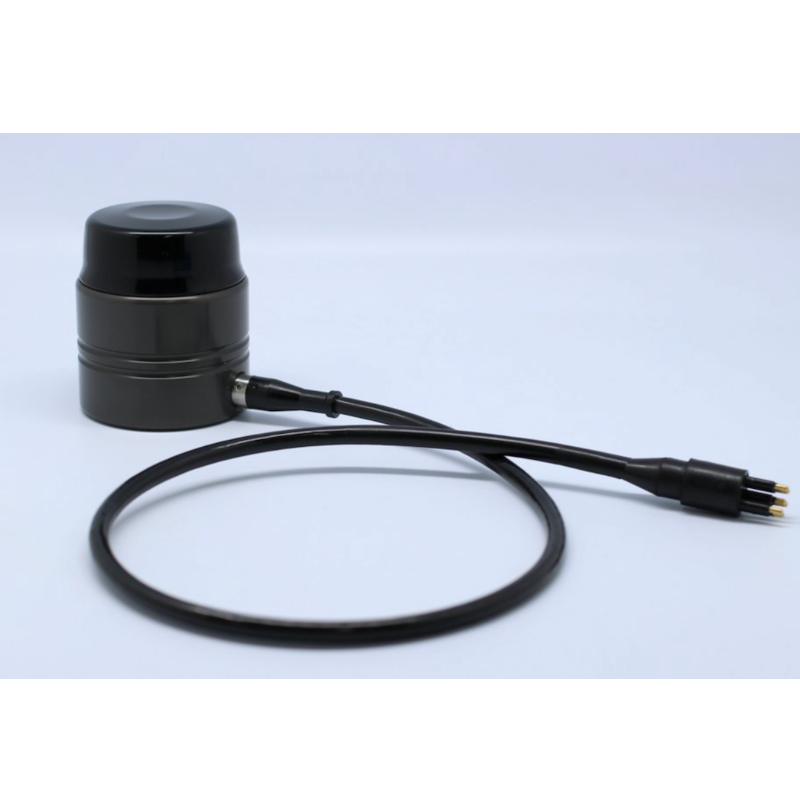

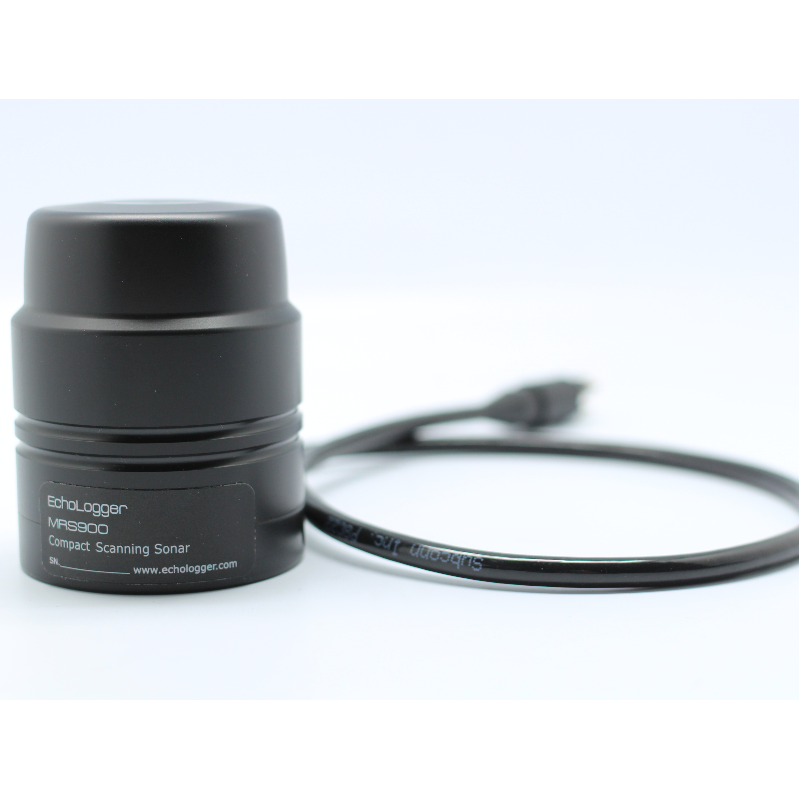
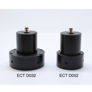
Mini imaging sonar MRS900
Ultra-compact scannin sonar with high resolution images

EchoLogger
Goyang-Si, KR
Description
Do you have questions about this product?
- Questions about price, availability, and/or retailers
- Questions about technical specifications and usage
- Questions about suitability for your project or application
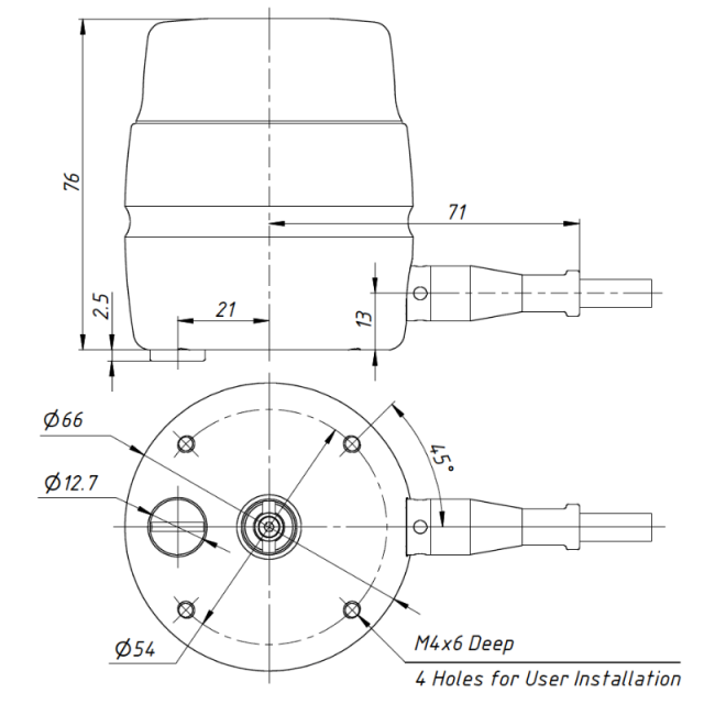
Specifications
-
General
-
Year of initial development
2013
Receive array length [m]
40
Receive array width [m]
10
Receive array height [m]
4
Transmit array length [m]
40
Transmit array width [m]
10
Transmit array height [m]
4
Product Brochure 2
/upload/461-2926-8406.pdf
-
Sonar Details
-
Max. depth [m]
1000
Min. frequency [kHz]
800000
Max. frequency [kHz]
1000000
Typical range [m]
60
Minimal detectable range [m]
0.15
Max. number of beams
1
Min. horizontal beam width [deg]
2
Max. horizontal beam width [deg]
2
Min. vertical beam width [deg]
25
Max. vertical beam width [deg]
25
Min. pulse length [µs]
10
Max. pulse length [µs]
100
Max. update rate [Hz]
10
Range resolution [cm]
0.075
Min. DC power [V]
12
Max. DC power [V]
60
Min. AC power [V]
0
Max. AC power [V]
0
Max. power consumption [W]
4
-
Data Processing
-
Data processing software
Echologger Scanning Sonar (provided)
Operating System
Windows 7
Data storage capacity [Gb]
500
External data storage options
Hard disc
Interface options
RS232/485
Motion correction
Compass & Gyro
-
Other specifications
-
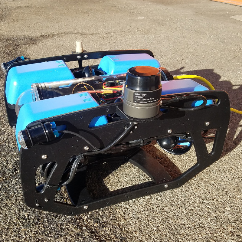
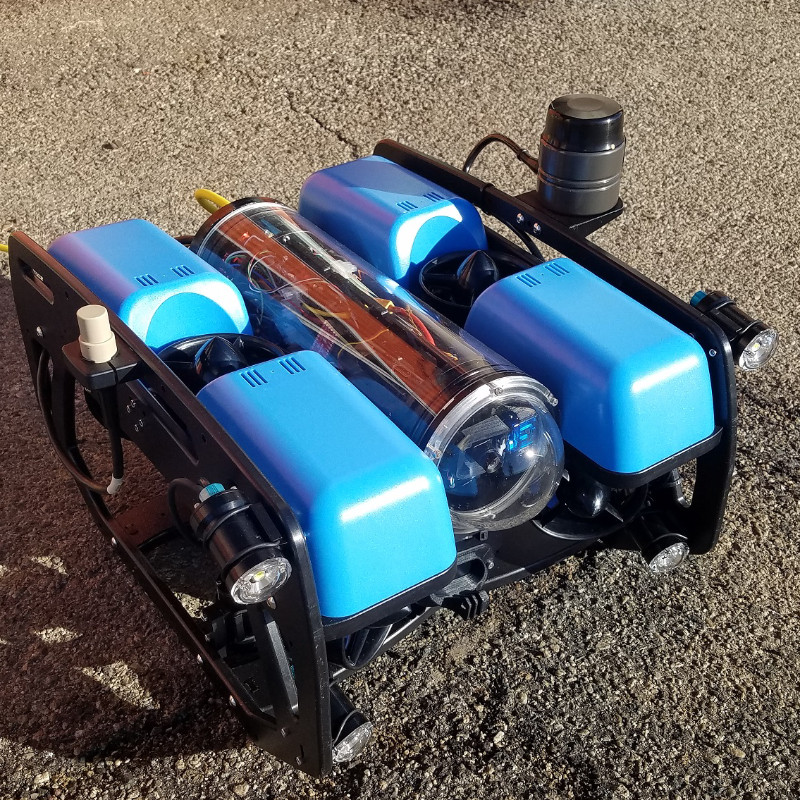
Mount options
Mounting bracket (optional)
Connector options
Teledyne Impulse or Subconn
Main applications
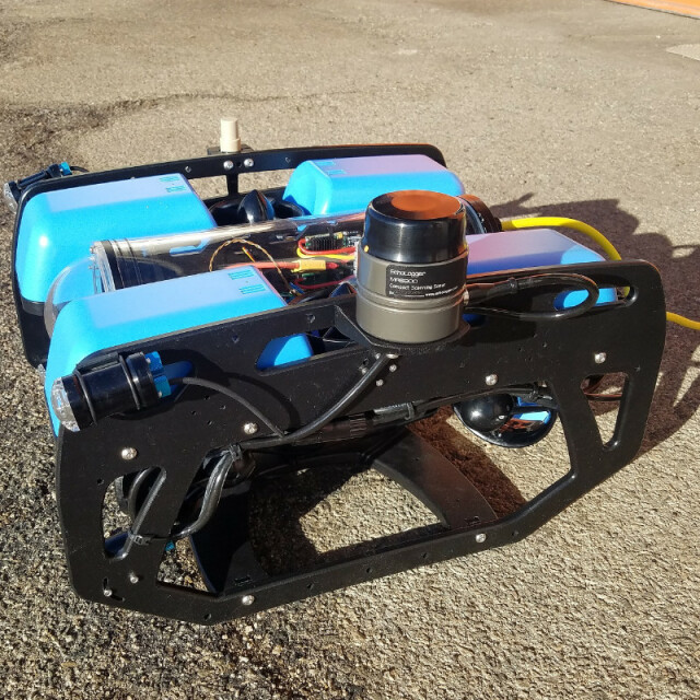
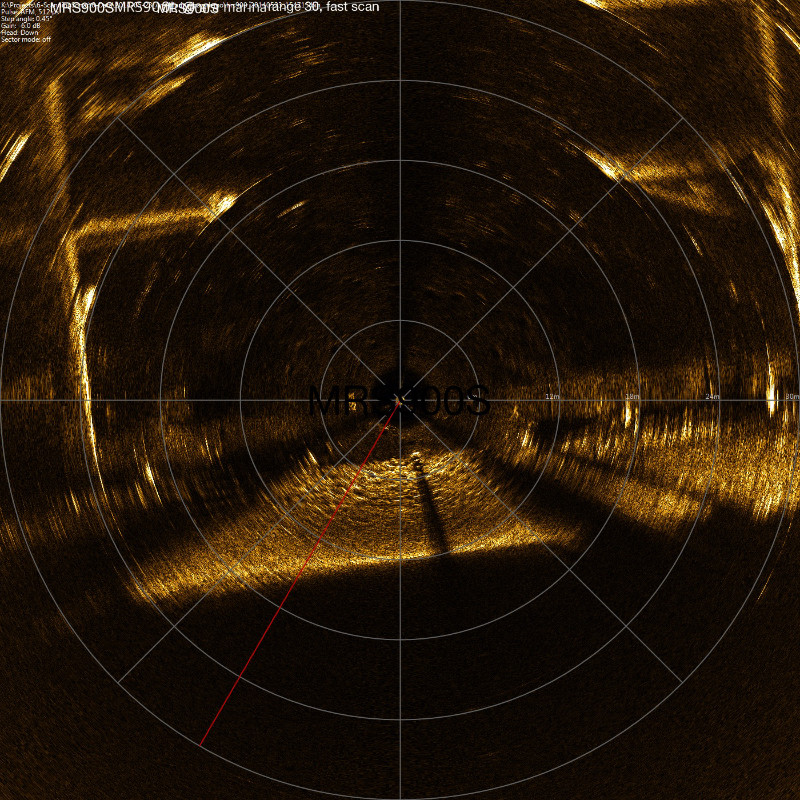
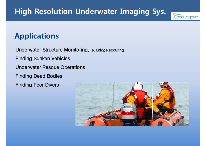
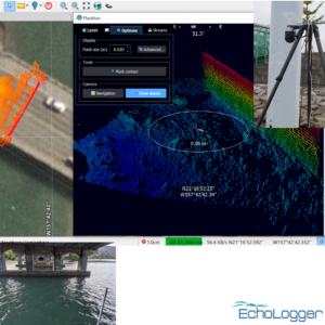
High resolution imagingObstacle avoidanceDiver-held sonarNavigation for ROV/AUVsMine detection
Carrier options
Documents
Brochure
migrationxzgwfx.pdf
594.25 KB
Other documents
-
Product Manual (36)202.35 KB
Videos

