
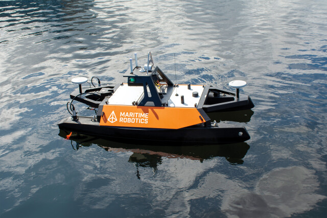

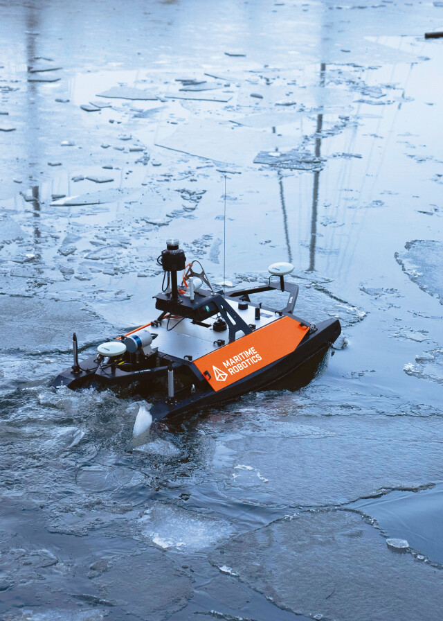


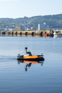


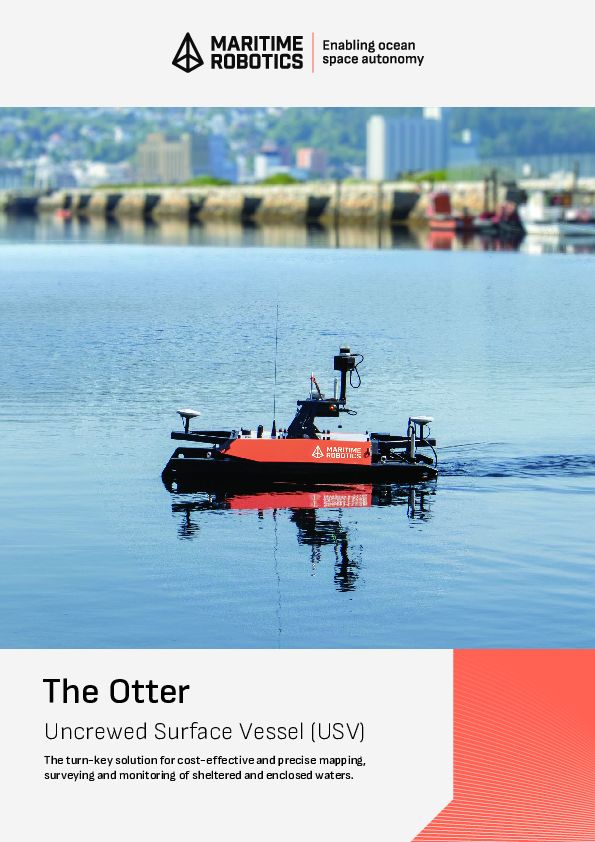
Otter USV
Otter USV, the turn-key survey solution for cost-effective mapping and monitoring of sheltered and enclosed waters.
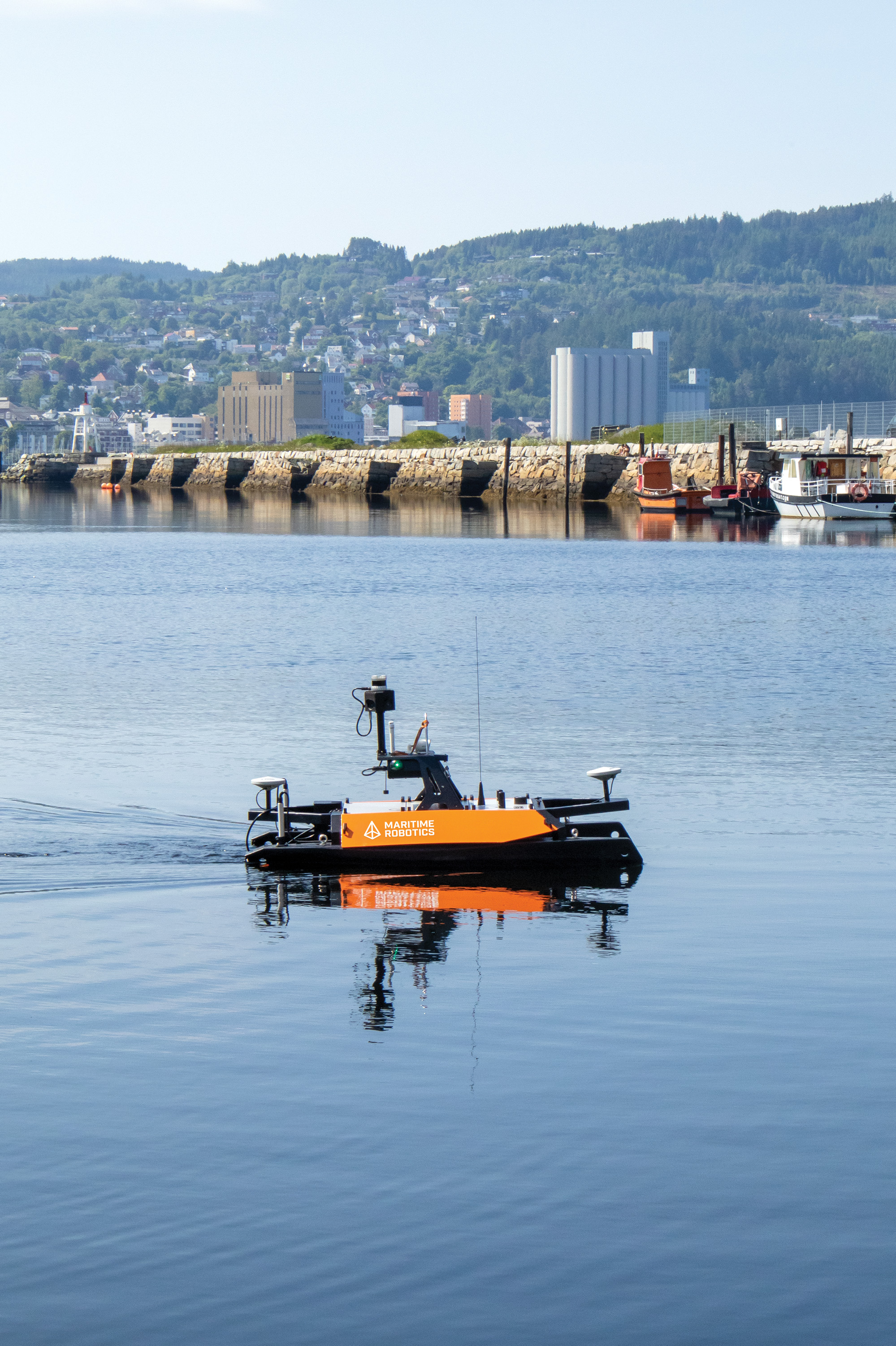
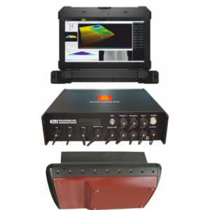
The Otter is the ultimate hydrographic survey tool for mapping of sheltered and enclosed waters. With tight integration between the on-board control system that enables autonomy and the multibeam echo-sounder, a bathymetric survey can be executed with a simple, streamlined workflow. The Otter comes with a laptop providing the Vehicle Control Station, which allows live monitoring of sensor data quality parameters and visualisation of data coverage in the same graphical user interface.
Maritime Robotics
Trondheim, NO
Description
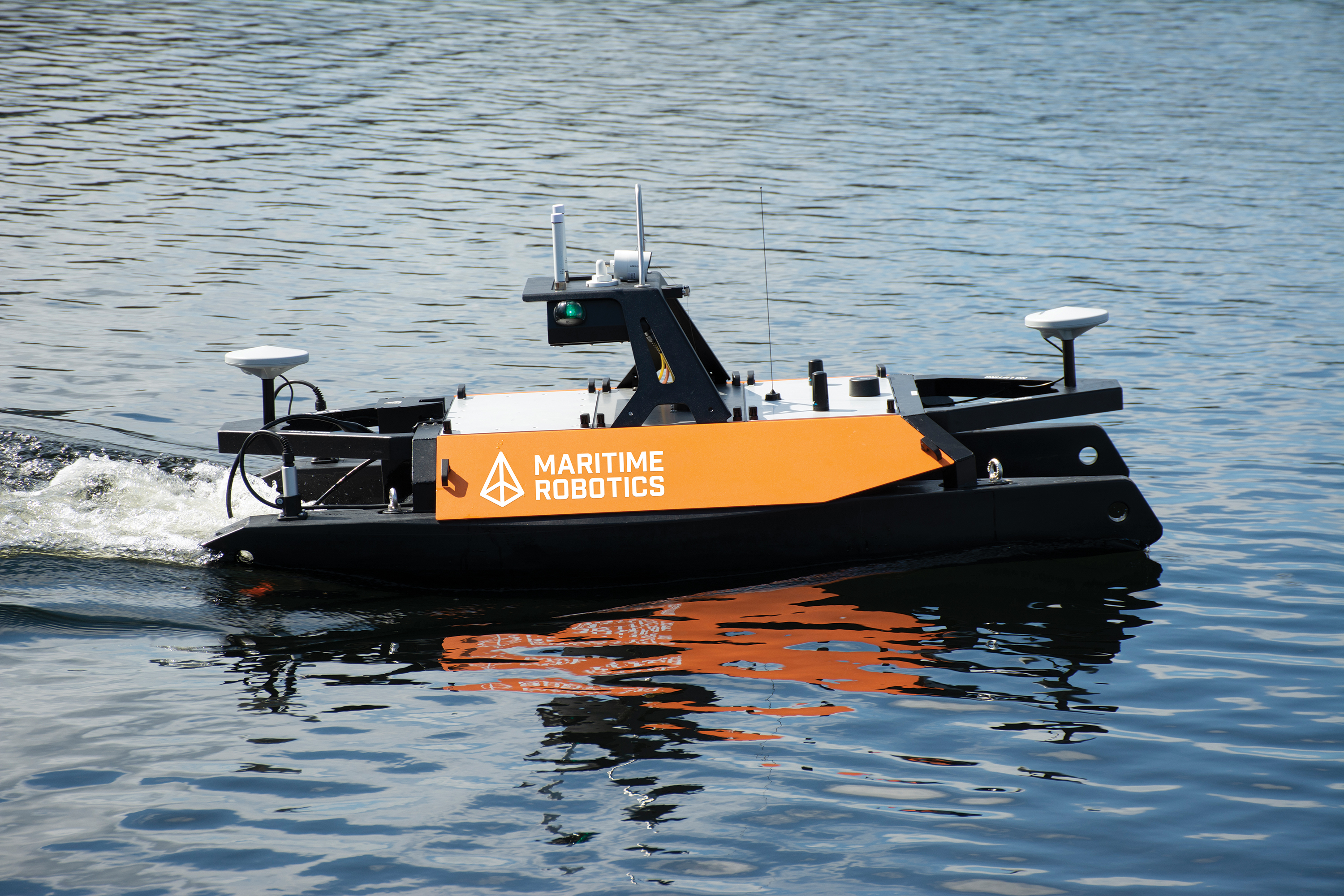
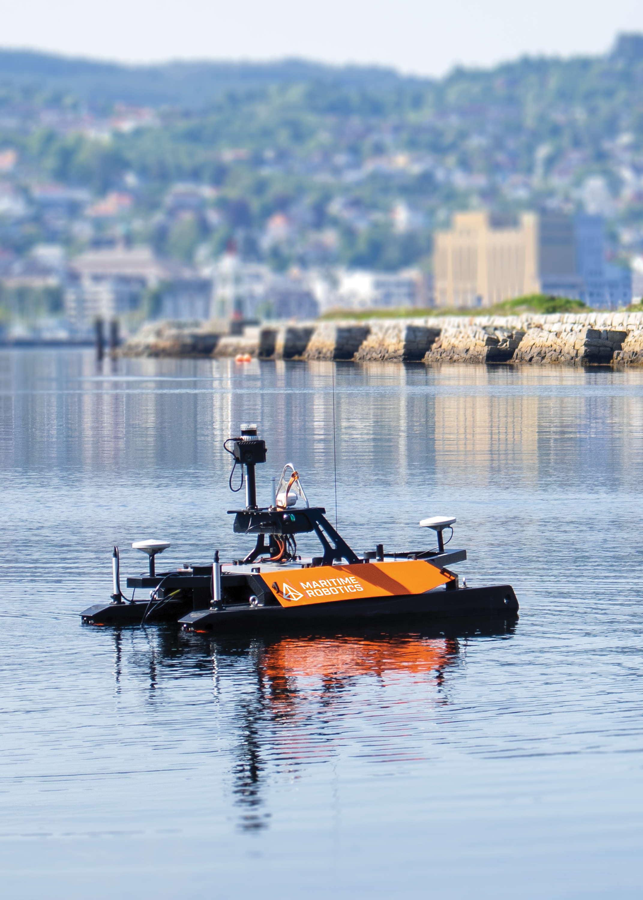
Maritime Robotics’ Otter USV is the ultimate hydrographic survey tool for mapping sheltered and enclosed waters. With tight integration between the on-board control system that enables autonomy and the multibeam echo-sounder, a bathymetric survey can be executed with a simple, streamlined workflow.
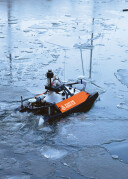
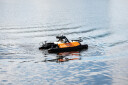
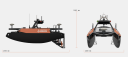
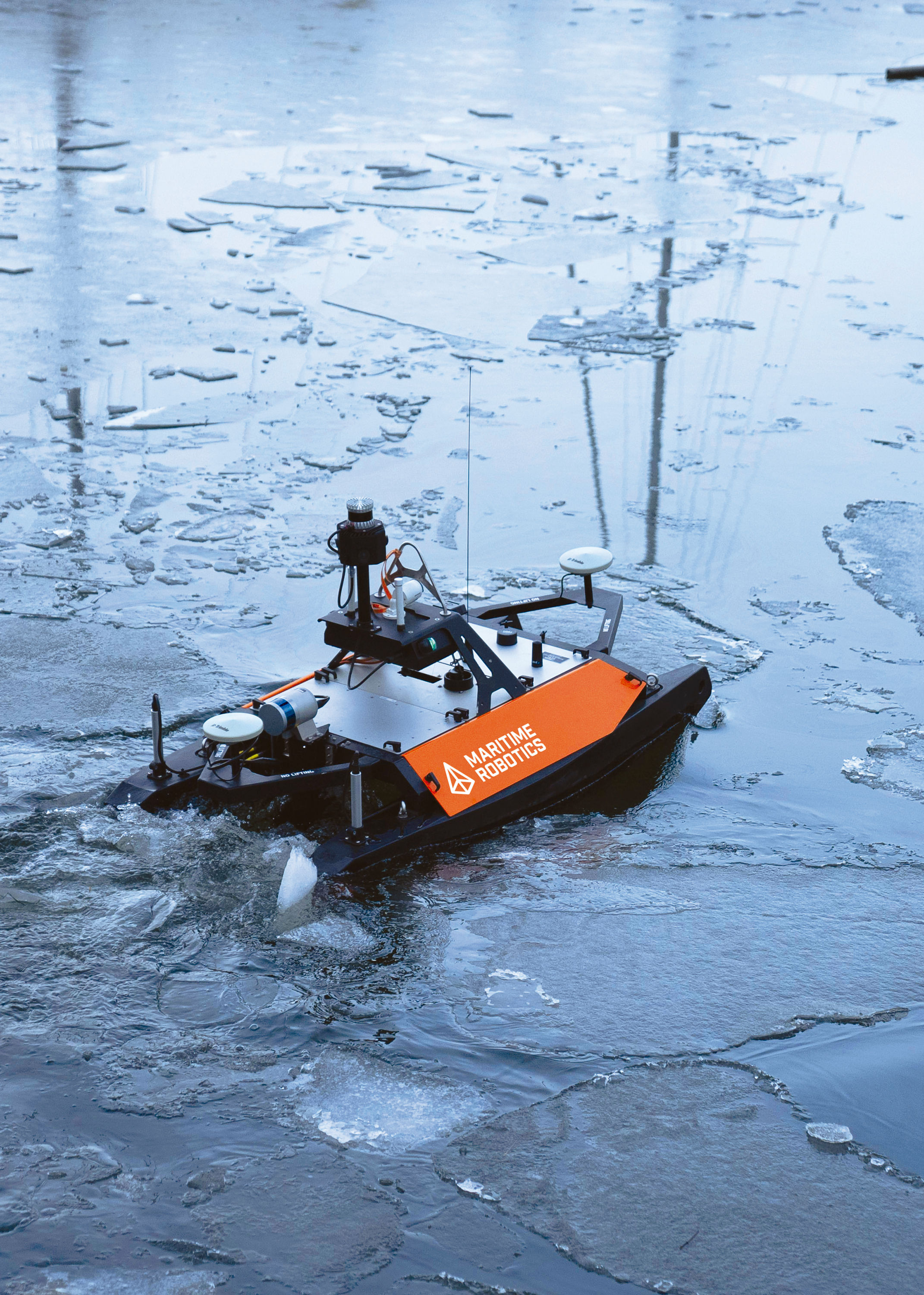
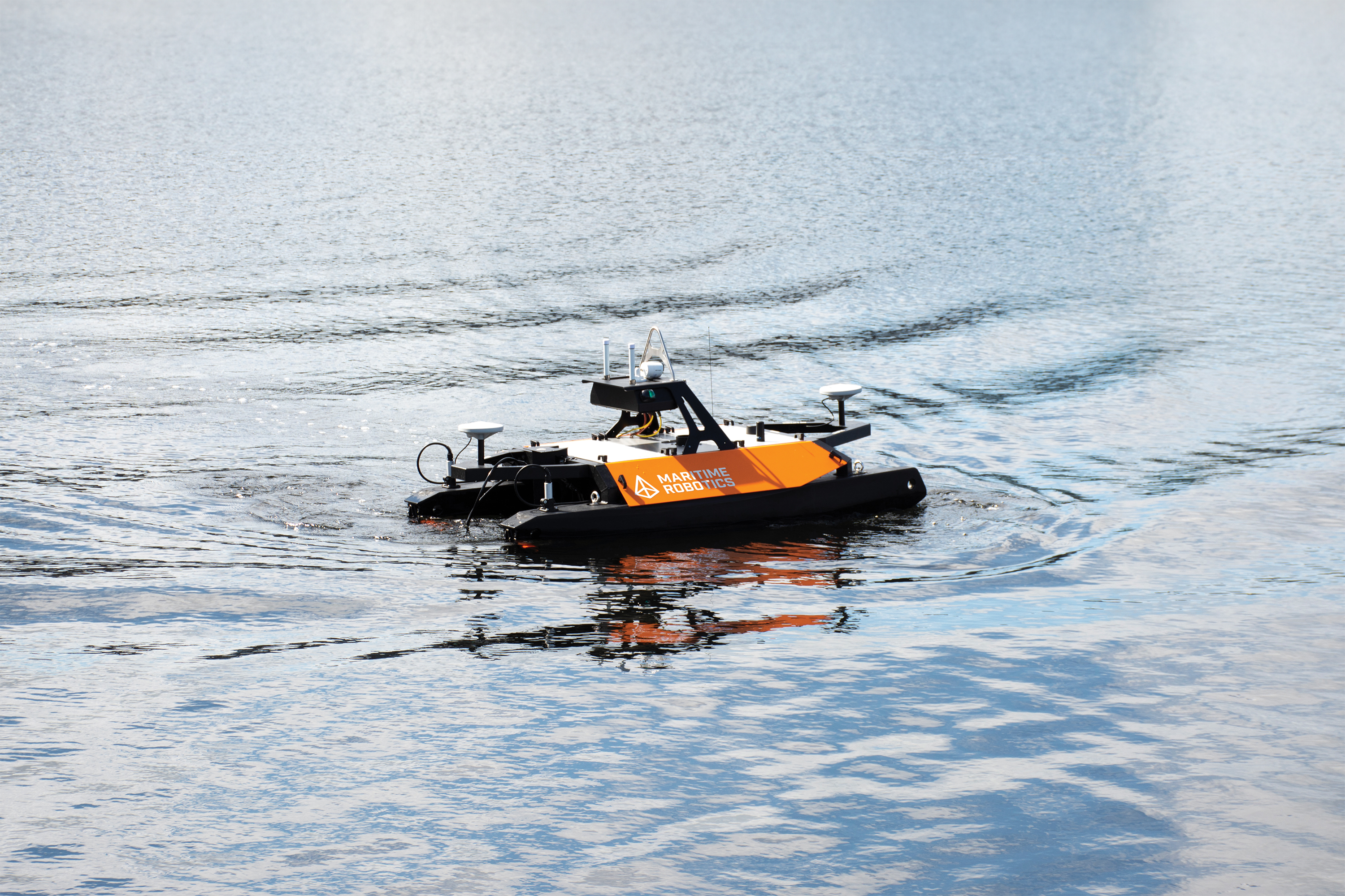
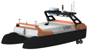
The Otter USV is the smallest member of the Maritime Robotics USV family. With a footprint of only 200 x 108 x 106 cm, it fits into any small cargo van for convenient transportation to survey sites. With a weight of 95 kg assembled, and with the ability to disassemble the Otter into parts weighing less than 20kg, a single operator can launch the vessel from a jetty, lake- or riverside, or the beach.
The autonomous future is electric: the Otter is equipped with electric thrusters that are powered by up to four powerful and easily interchangeable battery packs. This gives the Otter a best-in-class endurance for its size, operating up to 20 hours (at 2 kn). The battery solution is built on off-the-shelf components, providing easy access to spare parts all over the world.
The Otter can be controlled via a graphical user interface, Maritime Robotics’ vehicle control station (VCS), or a mobile phone app. The app provides manual joystick-like control, while VCS has many control modes, such as course and speed control, heading control, or waypoint control. For waypoint control, the operator can easily plan missions consisting of individual waypoints, or use templates for creating common patterns such as lawnmower surveys. Furthermore, live monitoring of sensor data quality parameters and visualisation of actual data coverage are provided in the same graphical user interface.
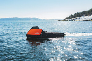
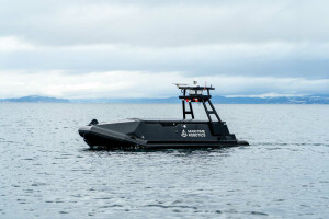
The Otter’s robust catamaran design and the tightly integrated bathymetric survey system make this system a cost-efficient turn-key solution for bathymetric surveys in sheltered waters such as small lakes, canals, rivers, ponds, and harbour areas.
Do you have questions about this product?
- Questions about price, availability, and/or retailers
- Questions about technical specifications and usage
- Questions about suitability for your project or application
Specifications
-
More information
-
Applications
Shallow water hydrographic surveys, Habitat mapping, Port & harbor security, Marine debris search, Water quality sampling, Dredging operations, Underwater archaeology, Pre- and postlay cable and pipeline surveys in shallow waters, Sound Velocity Profiling
-
General
-
Length [m]
0.2
Width [m]
0.108
Height [m]
0.106
Min. weight of USV in air [kg]
62
Max. Weight of USV in air [kg]
85
Portable
Y
Draft [m]
0.032
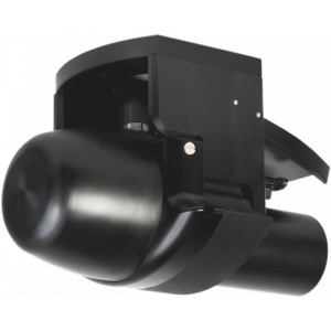
Number of thrusters
2
Thruster specifications
Two electric motors
Chassis
Aluminum
-
Communication and Control
-
Type of Communication
Wifi, 5GHz MIMO radio, LTE (4G) (optional), MBR (optional), VHF (optional)
Data sent to shore
Vessel telemetry, sonar coverage, sonar remote settings, remote control of Windows acquisition computer, standard situational awareness
Auto- control
Yes
Control parameters sent to the USV
Control mode: manual, course+speed, waypoint mission planning, station keeping/virtual anchor, external control (optional), formation mode (optional), collision avoidance (optional)
Emergency recovery procedure
Watchdog: Standby mode
-
Navigation and Payload
-
Navigation sensors - standard
Standard GPS, Camera, AIS class B receiver
Navigation sensors - optional
Applanix PosMV, SeaPath 130
Payload sensors - optional
Norbit iWBMS(e/h) family, Kongsberg EM2040P, Ping DSP 3DSS-iDX-450, Teledyne ODOM MB2, AML Base X2, AML 3, Valeport Swift SVP, Biosonic MX/DTX, UHF modem for RTK corrections, Ntrip software client on-board
Payload sensors - standard
-
-
Operations
-
Min. turning radius [m]
0
Max. speed [kn]
6
Max. Remote Operating Range {m}
2500
Available size of storage room
-
Launch and Recovery System
Optional launch and recovery kit for crane launch.
Max. WMO seastate
2
Min. crew size
0
Min. required number of surface computers
1
Operational Area
-
Other requirements
-
-
Energy and Propulsion
-
Propulsion
Two fixed thrusters
Energy Source
Electric
Propulsion Power
400 W
Endurance at nominal power [hr]
20 hours at 2 kn with 4 batteries
Documents
Brochure
Otter-brochure-2024-digital.pdf
2.54 MB