
Marins M7
Military-grade INS
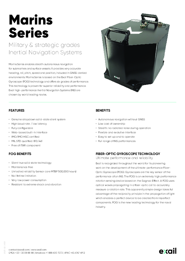
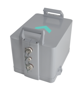
Military Strategic Grade lnertial Navigation System Marins Series is a family of state-of-the-art naval inertial navigation systems. designed to meet the demands of the navies for the highest performance INS.

Exail
Saint Germain en Laye, FR
Description
Military Strategic Grade lnertial Navigation System Marins Series is a family of state-of-the-art naval inertial navigation systems. designed to meet the demands of the navies for the highest performance INS.
Do you have questions about this product?
- Questions about price, availability, and/or retailers
- Questions about technical specifications and usage
- Questions about suitability for your project or application
Specifications
-
Other specifications
-
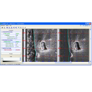
Graphical user interface
Y
Typical application
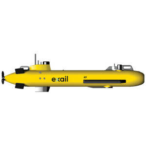
Marins Series enables stealth autonomous navigation for submarines, providing very accurate heading, roll, pitch, speed and position.
Distinguishable features
Full system IMO/IMO HSC certified; MIL STD qualified: 810/461; Autonomous navigation without GNSS; Stealth: no radiated noise during operation
-
General
-
Year of initial development
2014
Height [m]
0.344
Width [m]
0.4
Length [m]
0.5
Weight [kg]
42
Min. Voltage (DC)
24
Power consumption [W]
20
Splashproof casting
Y
Water resistant casting
N
Mean time between failures [hr]
150000
Type of gyro
Fiber-optic
Type of application
Marine
Moving parts
N
-
Unaided uncertainty
-
Heading [deg]
0.01
Pitch [deg]
0.01
Roll [deg]
0.01
Decrease in position accuracy [m/hr]
26
-
Data formats
-
NMEA formats
NMEA 0183, ASCII, BINARY
-
Inertial Measurement Unit
-
Calibration procedure
Auto-calibration at start-up


